Aigaleo (463m) [P-323]
Summited On: January 11, 2026
Region: Piraeus, Attica, Central Greece, Greece.
Overview
Oros Aigaleo [”Όρος Αιγάλεω”] (463m) [P-323] is the lowest of the four (4) peaks which surround the Athens Basin and has very close associations to both the ancient and modern history of the city of Athens. Situated roughly North of the Piraeus peninsula Aigaleo (463m) traditionally served as the Western boundary of the city and offering protection from invading armies. Most notably, the narrow valley of Iera Odos — translating to “Holy Avenue” — served as the main entrance to the city from the South and cities like Eleusina, Megara, and Corinth.
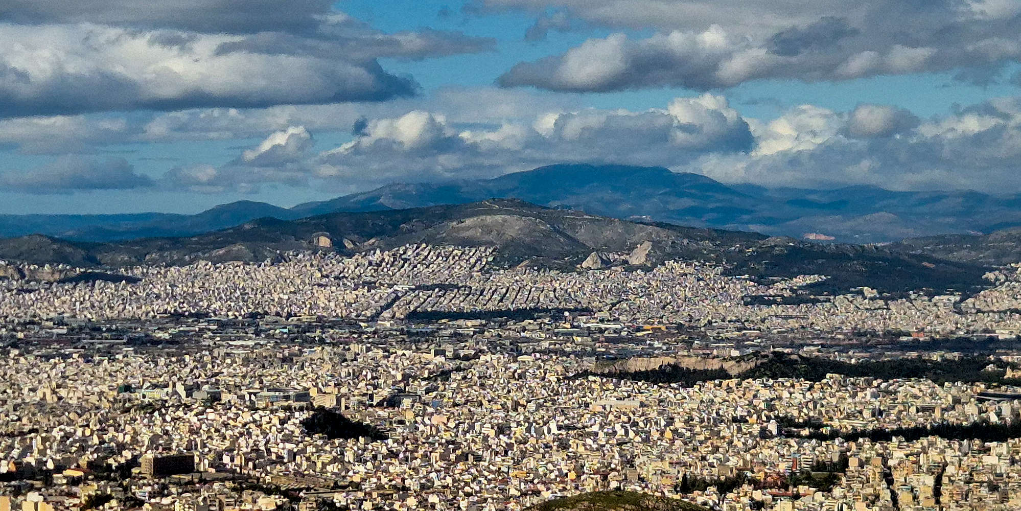
Aigaleo (463m) as seen from Ymittos (1,026m) with Pateras (1,132m) behind.
Its low elevation — Parnitha (1,409m) is more than three (3) times taller — and extensive development, as well as association with the industrial district of Skaramagkas, has led to it being severely overlooked compared to its neighbors. Even though Downhill biking has now become very popular on its slopes, a network of well marked and adequately maintained trails and FSRs, offer a wide variety of route possibilities. While its true summit houses a military installation into which entry is not allowed, summit routes on Aigaleo (463m) feature extensive views of Athens, the Plain of Megara, and the Saronic Gulf.
Route
For us Aigaleo (463m) offered a very good proposition for a relaxed hike considering it is less than 30 minutes from my house. As mid-January has slowly given way to unstable winter conditions on the high mountains, we decided to not let a sunny Saturday go to waste and visit Aigaleo (463m) instead. I penned out a long but ‘classic’ summit route which: begins at a popular trailhead, gains nearly 100% of the prominence, and vaguely follows a feature. Starting from the Monastery of Dafni at Iera Odos — also accessible via the 876 or 866 bus from Agia Marina metro-station — the route ascends the NNE slope up to a wide ‘ridge’ and then using FSRs continues under a ravine which it ascends in parallel and then traverses. The route exits on the summit ridge with views of the Saronic; it proved to be better than expected.
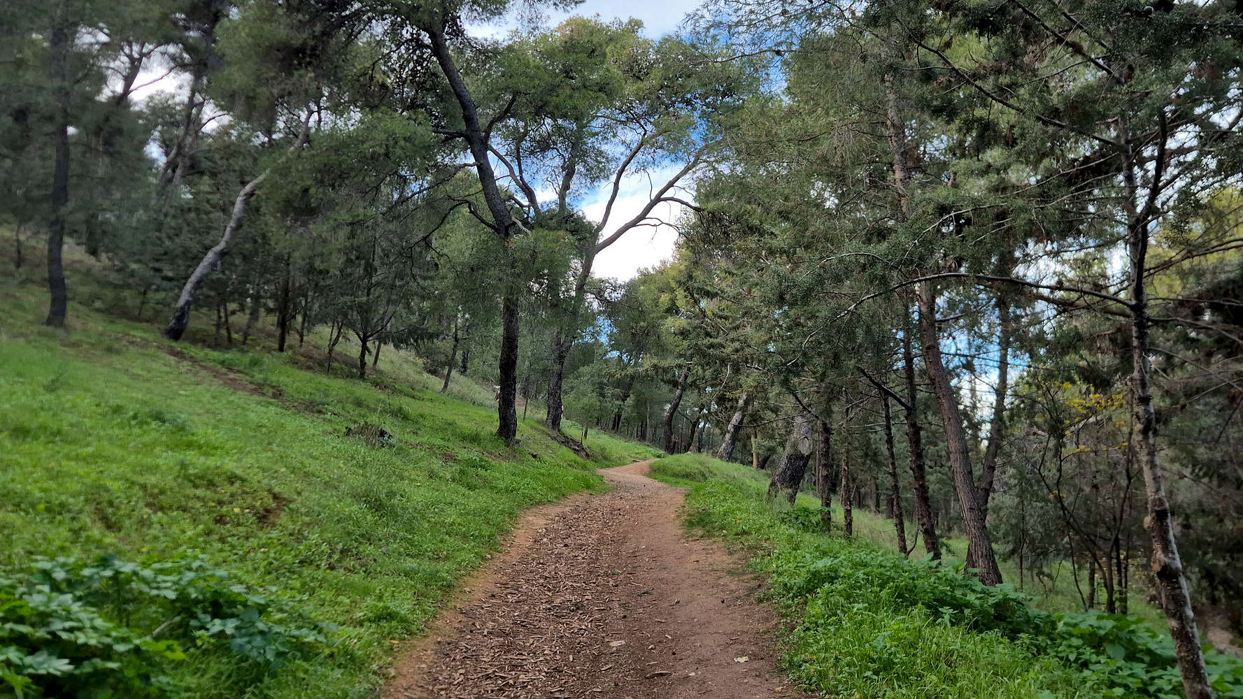
The lower forest trail.
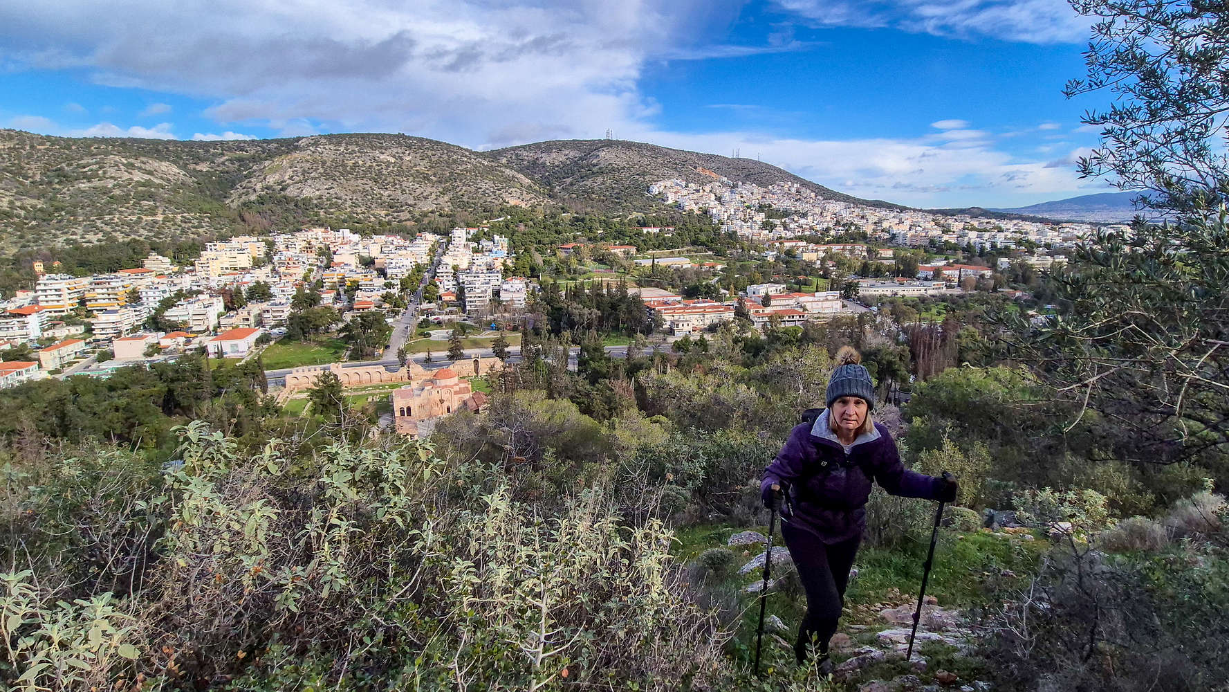
Our first view of Dafni Valley and the Monastery.
We began our hike at around 10:30, passing by the Monastery and into the lower forest trail. For a little bit I forgot where I was, it could maybe be any city park in Athens, and felt very out of place in my kit. Soon however, our route demanded we veer left and ascend a bushy and unmarked slope which was quite steep (T1+, BW1). Continuing through the overgrown forest and along some rusted fencing we soon exited the worst of the forested section and followed a vaguely marked track. As we ascended we caught our first views of the Valley of Dafni behind us and entered into rocky terrain. The route follows the a N facing ‘foot’ which becomes increasingly rocky as the top is gained, although there is no need for the use of hands (T1+). Within 20 minutes from starting out, we topped out on this first feature and passed by the watchtower, continuing on the FSR.
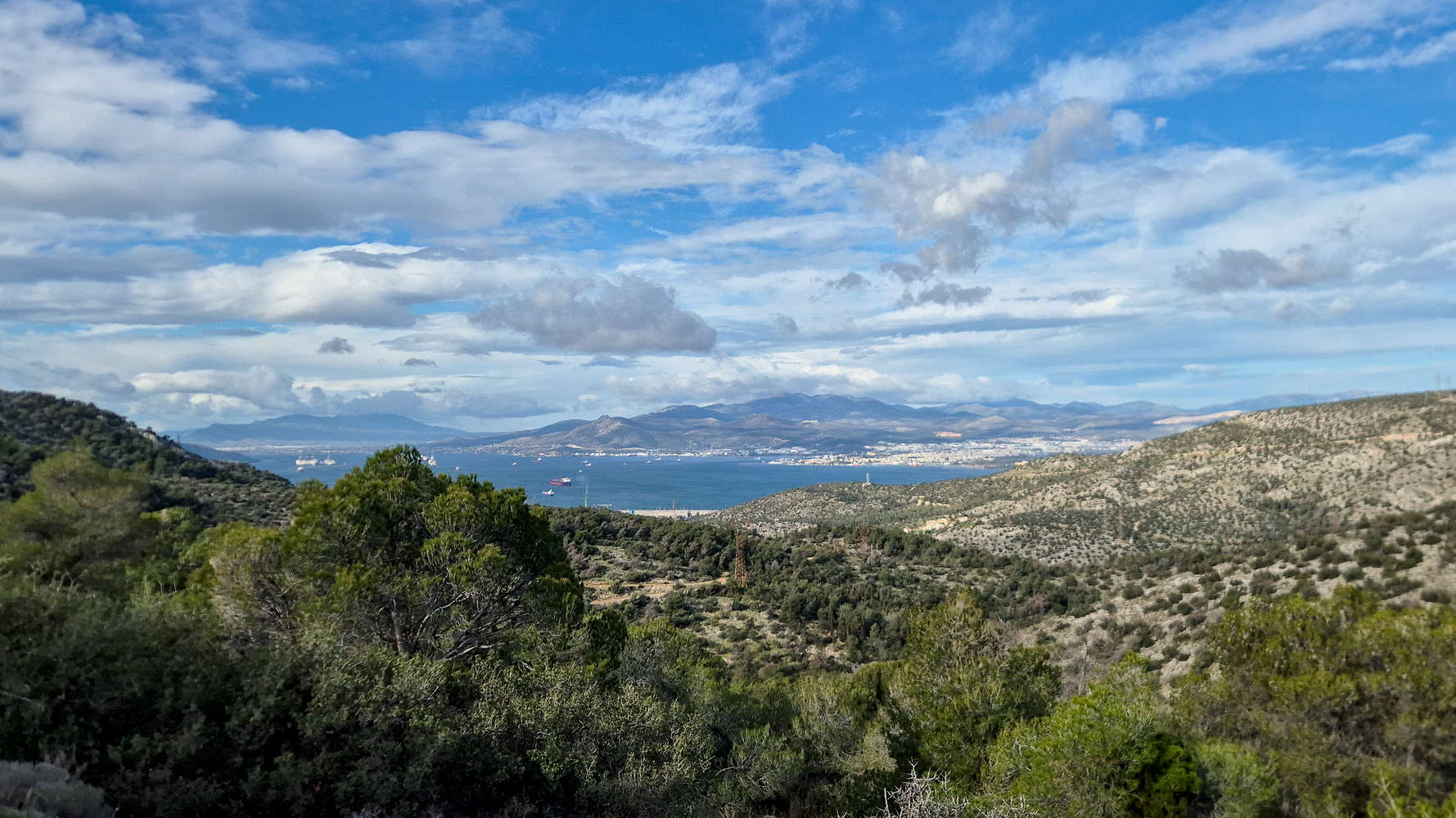
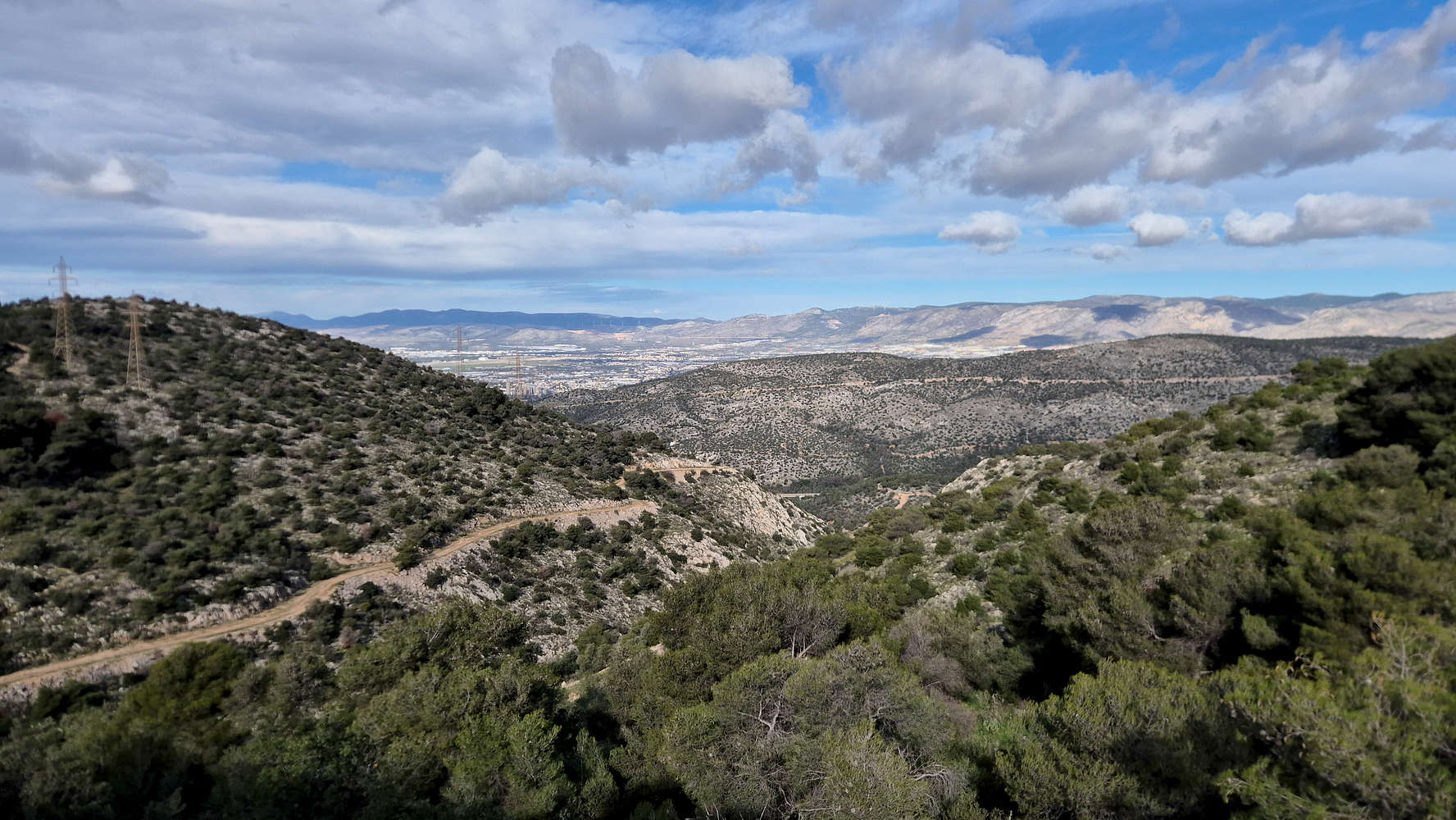
View of Megara and the nearby mountains.
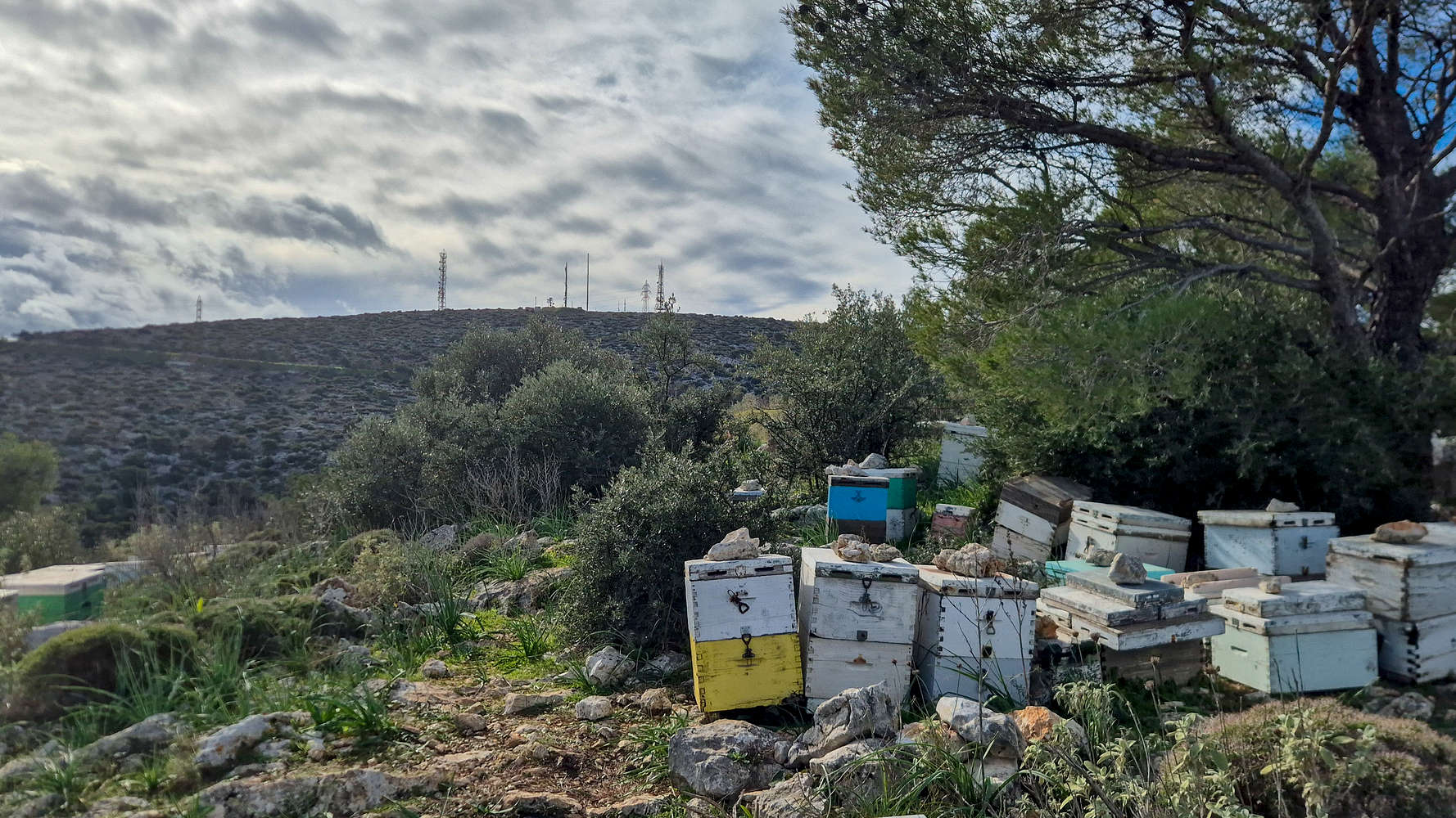
By the end of the beehives now.
This was one of several FSR sections, and skirts around the top of this subsidiary foot, first heading west and then south. From here we caught a glimpse of our first views towards the Megara mountains of Geraneia (1,369m), Pateras (1,132m), and Kithaironas (1,409m). After about 600m a Col. us reached where we had to look around for the next connecting trail. Deciding it was probably marked higher up, we went up the less forested slope and eventually found it. Once again we would have to ascend the rise which got increasingly rocky but again not troublesome (T1+), while there were views of both Athens and Megara. Reaching the flatter top of the rise we were called to navigate through a sizeable beehive — thus, not so recommended for anyone allergic to bees. Following the exit track leads onto the next, and longest, FSR section.
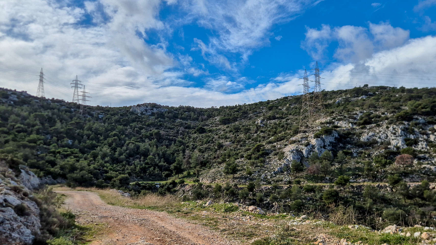
The pylons mark the E-W summit ridge.
Aigaleo’s largest ravine/valley from the FSR.
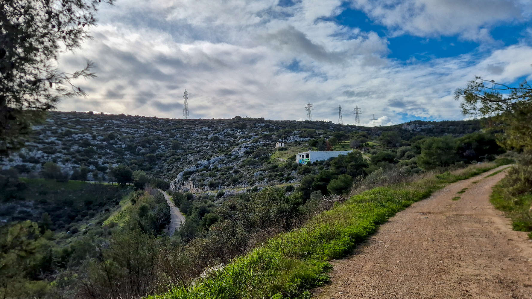
We continued on the FSR in a SSW heading, with the route taking us just above Athanasiou Dikaou street of the Korydalos area, and passing by another Col. At least from here we could see the summit ridge, marked by pylons, as well as the small outcrop marking the ‘exit’ traverse. However, before we got there we had to continue further down the FSR and into the largest ravine (or valley) of Aigaleo, which was surprising in scale compared to even the massif itself. Reaching the point where the road passed over the ravine we would exit the known route to establish a fun shortcut.
Our shortcut is the rib leading to the two pylons on the right.
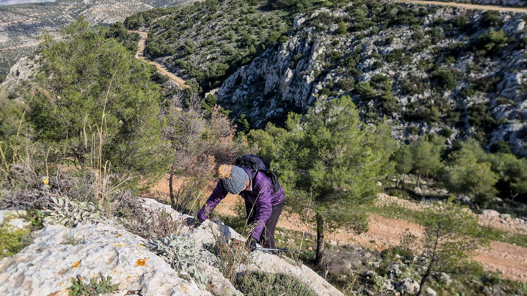
Terry climbing the slabby crux (II-, 1 move).
Looking to avoid a convoluted zig-zag ascent via the FSRs to the next trailhead, we opted to climb a short rib instead. Leading to the base of two electrical pylons, we could then continue on the upper rung of the FSR to our final trail section before the summit. The rib was very straightforward except for the crux move (II-) which can feel a bit difficult for shorter climbers. The movement is pleasant enough and rock quality is good. The exit is through the base of the pylons, which needs a bit of attention due to loose building materials. Up to this point, the route had taken us 1:15 hours. Passing the upper pylon we followed the wide trail on the right for about 100m until reaching the more popular Pyrovoleia (Gunneries) Trail, onto which we turned left (SSE).
Traversing to the exit in full view of Athens.
Piraeus as seen from below the summit.
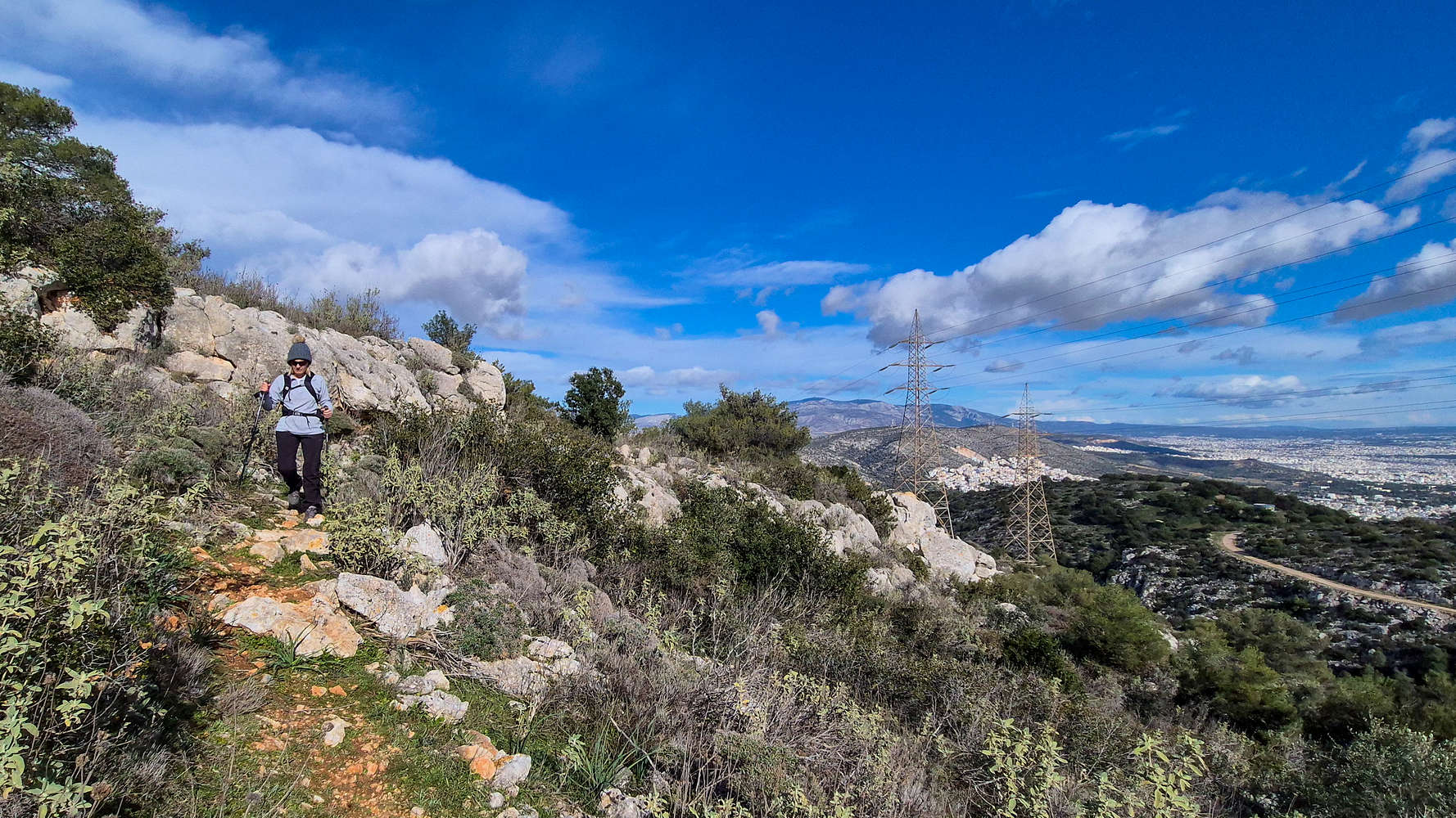
Exiting the forested hillside, the trail makes a leftwards (SSE) traverse above the large ravine. This was a highlight section on account of its airy and remote feel, far above the Athens Basin and surrounded by greenery. Some care is needed here since the ledge is both smooth and somewhat exposed (T2-). The trail then steepens as it exists the sub-summit bowl aiming for a small notch on the ridge. We quickly exited the trail, passing by the best preserved of the German gunneries on the mountain, and joined the road — it had taken us 1:30 hours up to this point. Making a right we followed the paved road leading to the military installation on the summit, with great views of Piraeus and the Saronic below. Certainly the south side of Aigaleo (463m) is much less wild, as betrayed by the comings and goings of cars to the ridge parking lot. We continued up the road past the first barriers, eventually reaching a flat viewpoint about 50m from the gate. I had maybe enough time to take a photo before we heard the barking of the loose guard dogs running towards us. We sped off back down, reaching the best possible public access highpoint given the circumstances. I would have preferred to have been able to walk up to the gate, or a nearby rock which is most likely the highest public point — but still in dog range.
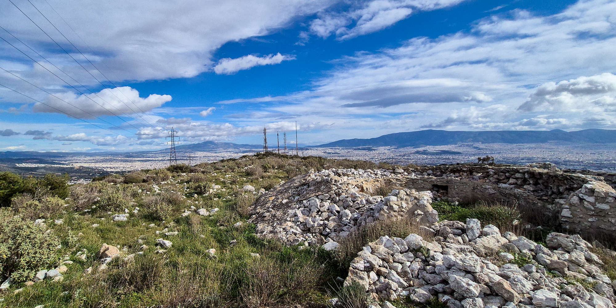
The WW2 gunneries and a view of Athens.
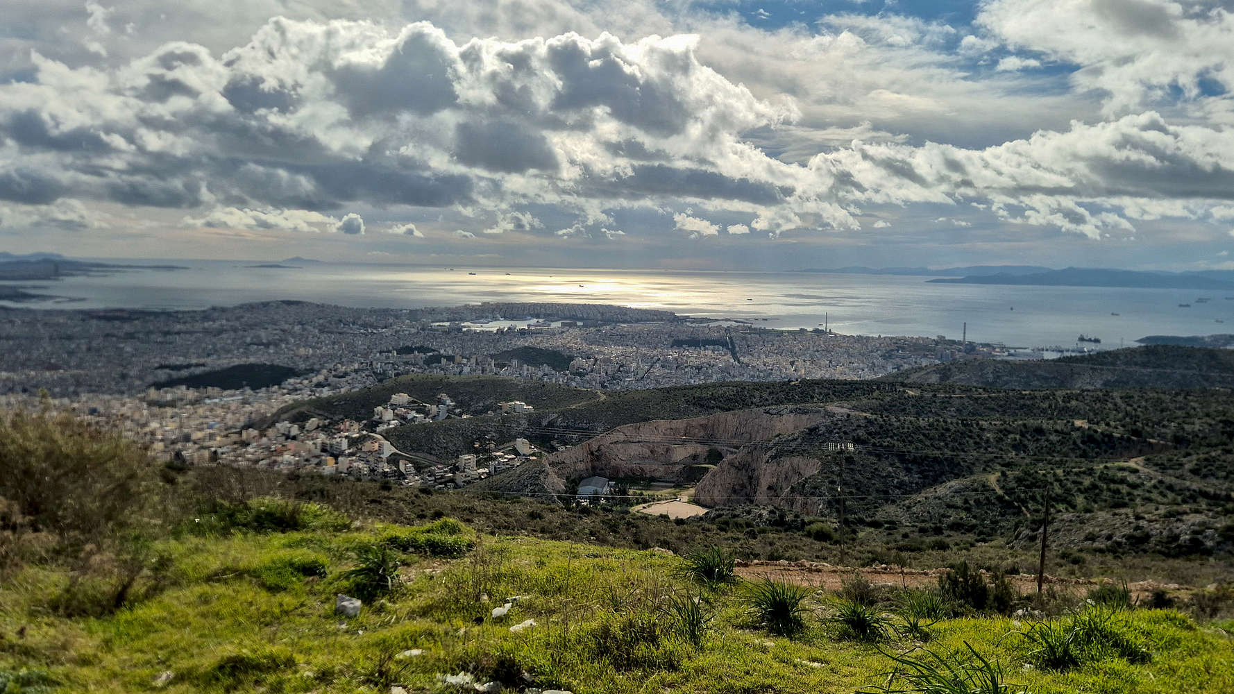
Without any further dog troubles, we walked all the way down to the main gunnery points, and sat down for our break, with exceptional views of Athens and Piraeus below. We seemed to have stunned a Chukar, which made its characteristic sound as it waddled quickly away. We had a rather leisurely break before deciding it was time to retrace our steps. We joined our ascent track and made our way down to the NNW aspect using the Pyrovoleia Trail, all the way to the FSR, and seemingly the downhill biking parking spot. We ended up chatting with some of the bikers in regards to directions, and after a slight misunderstanding, we were told to continue through one of their trails within a steep ravine (T2, BW1).
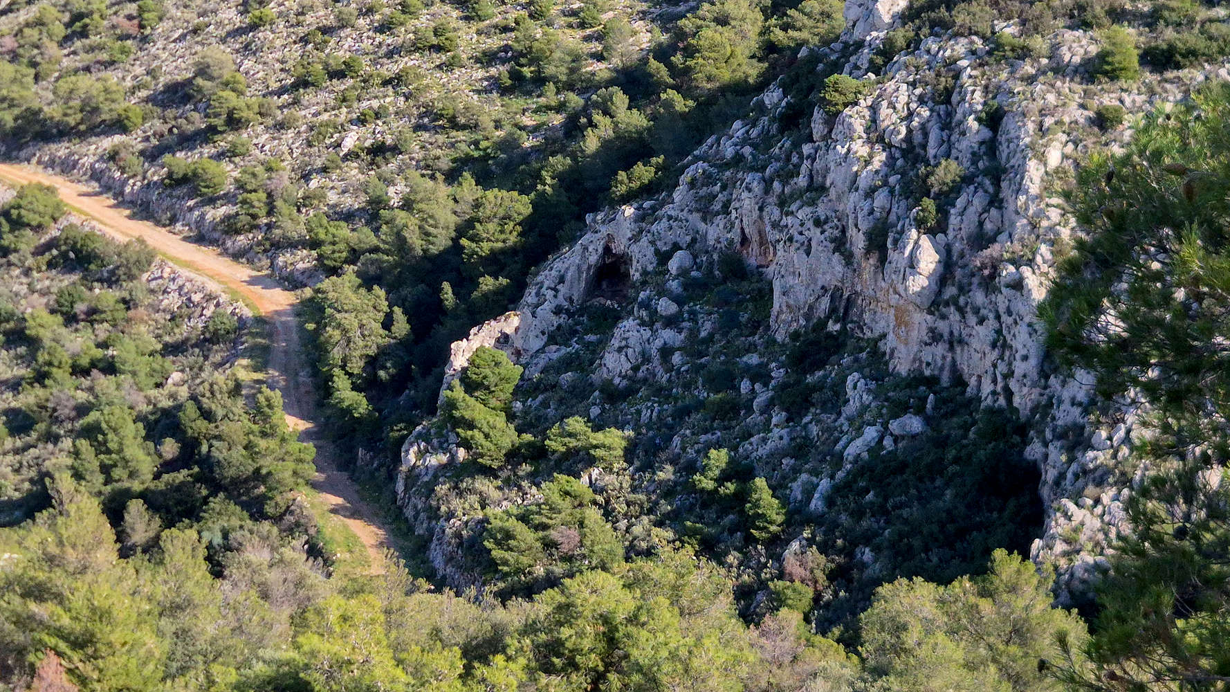
The arches formation from above.
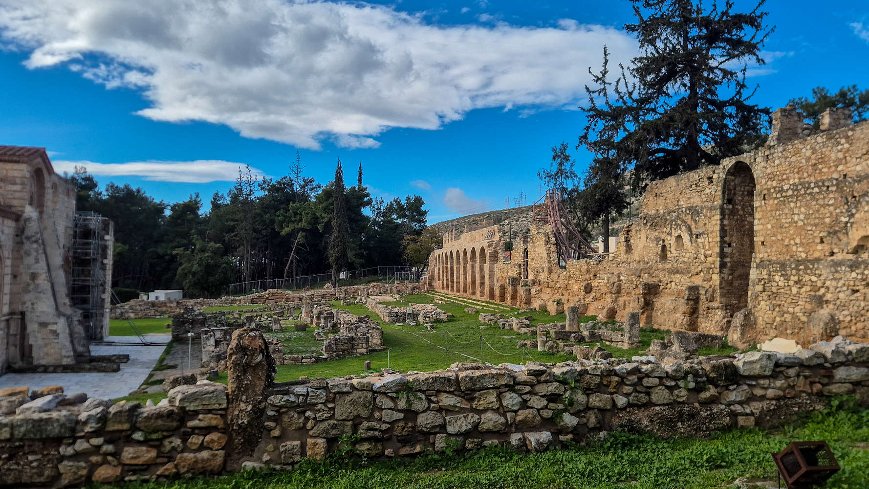
The Dafni Monastery archeological site.
We did our best to make it through the poorly cleared ravine, and then found a better track leading right (S) on the slope above our target FSR. The going was a bit worrisome, given the steepness and obvious lack of traffic on the track, but with enough caution we rejoined the lower FSR — below the FSR by the scrambling rib. We did this specifically in order to see a rock formation which features a small rib (20m) which has three arches bellow it. It was in fact stunning, but pictures from that height did not do it justice. We then continued on the lower FSR winding across the N face in a ENE heading, until viewpoint in the area of the beehives. From here we followed our ascent route religiously and made good time descending through both the rocks and steep forest slope. By 14:00 and after a total of 3:30 hours, we were back at the car; but not before taking a cursory look around the Dafni Monastery.
Interactive Map
Logistics
No logistics, just drove from the house in Athens in about 25 minutes. As mentioned, accessible
Nearby Peaks
The following is a list of significant nearby peaks.