Parnitha (1,413m) [P-1126]
Summited On: March 28, 2026
Region: Athens, Attica, Central Greece, Greece.
Overview
Parnitha (1,413m) [P-1126] [”Όρος Πάρνηθα”] is the tallest of the four massifs which encircle Athens, as well as the highest of all mountains in Attica - exceeding Kithaironas (1,409m) [P-827] [”Κιθαιρώνας”] by just 5m. On account of its great forested expanse, feeding multiple drainages, it is also the wildest, with a unique ambience not found elsewhere near the city. As a result it features a network of core trails and refuges which becomes especially busy on weekends. This proximity and variety of possible routes of differing distances can make Parnitha an especially interesting proposition for more experienced hikers looking to challenge themselves close to home.
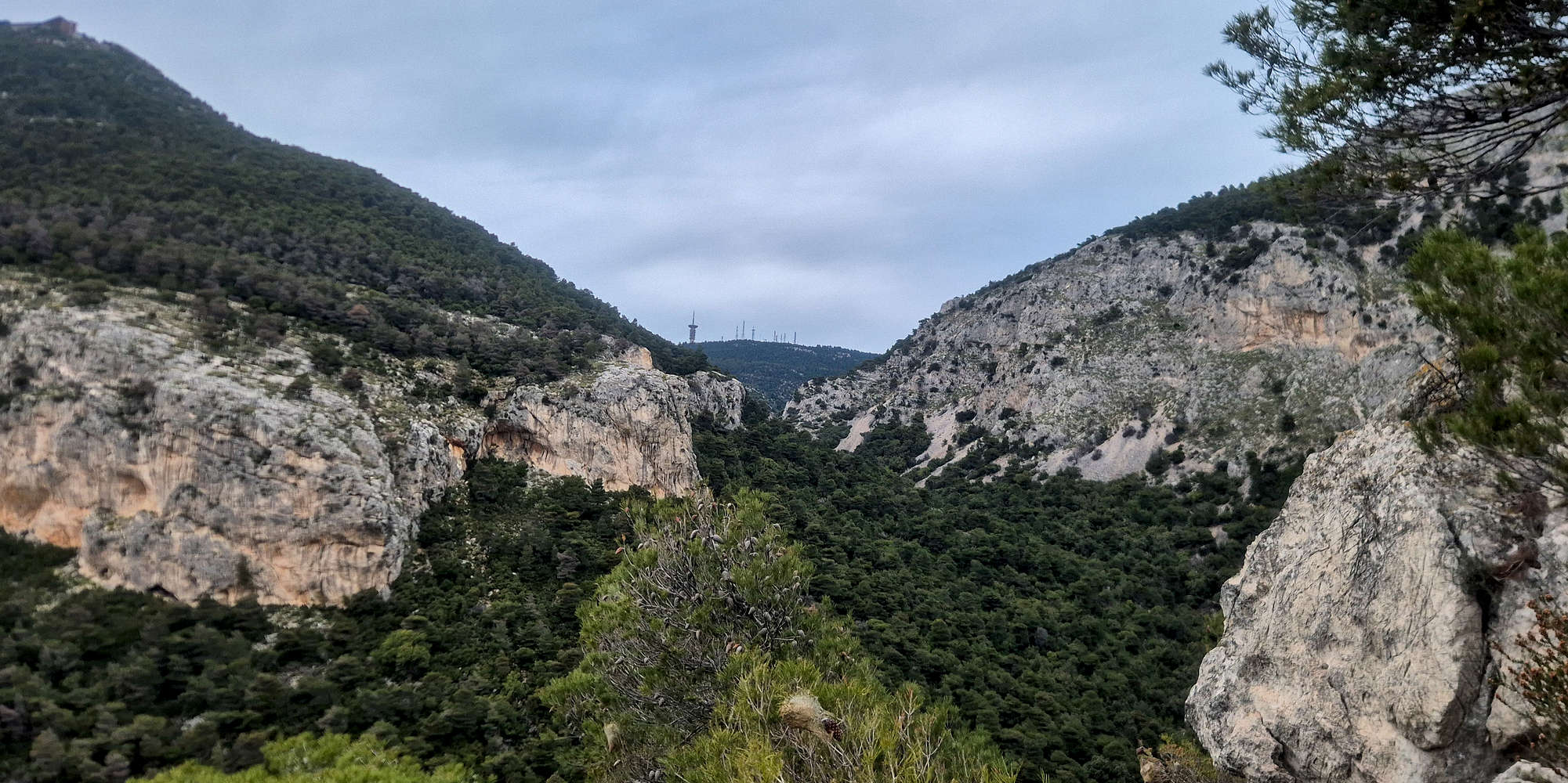
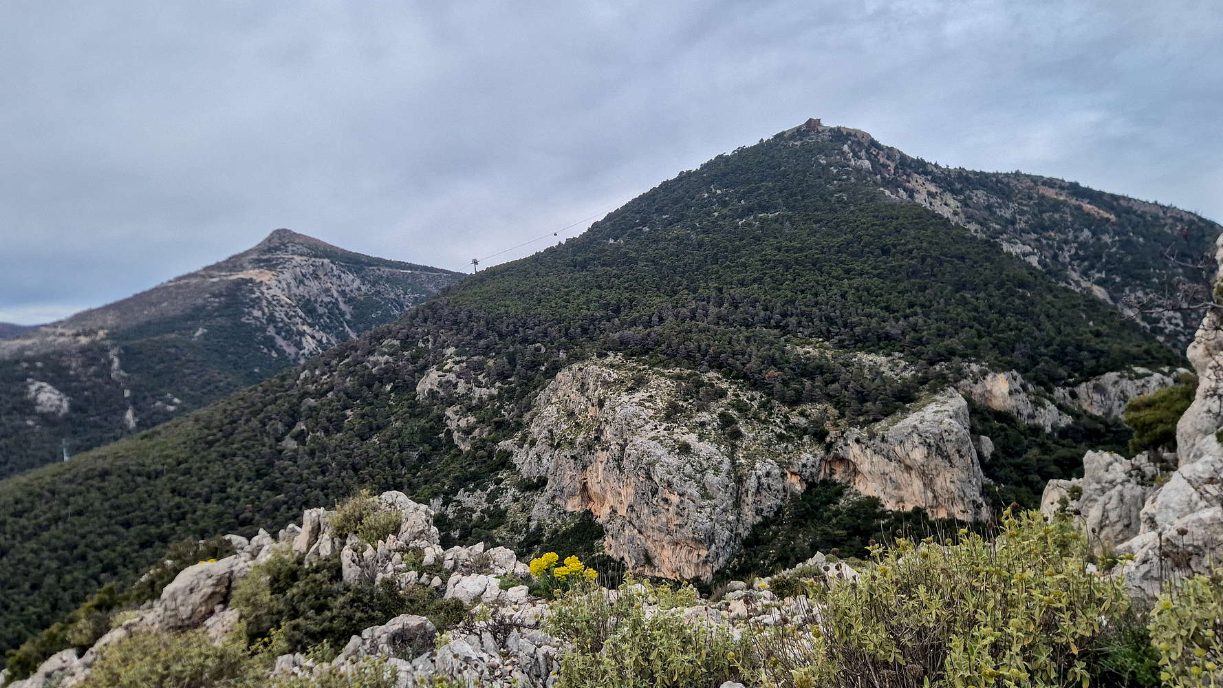
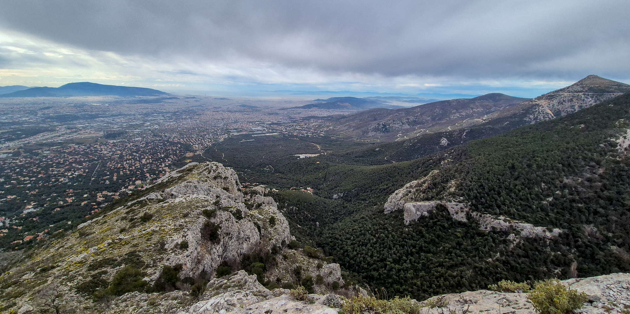
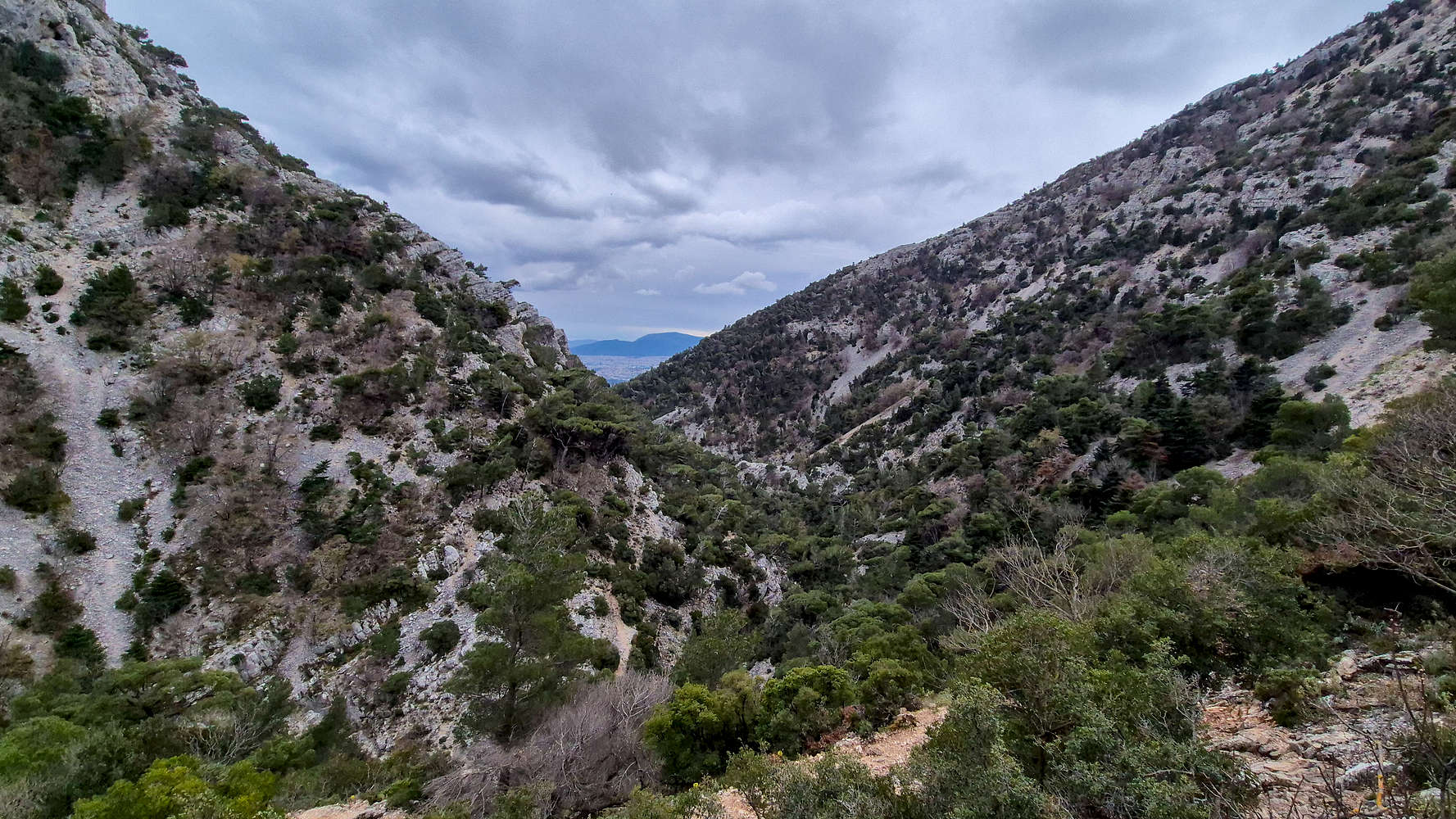
The Gorge of Chouni (center), Flambouri Ridge (right), and Ornio (1,340m) far behind.
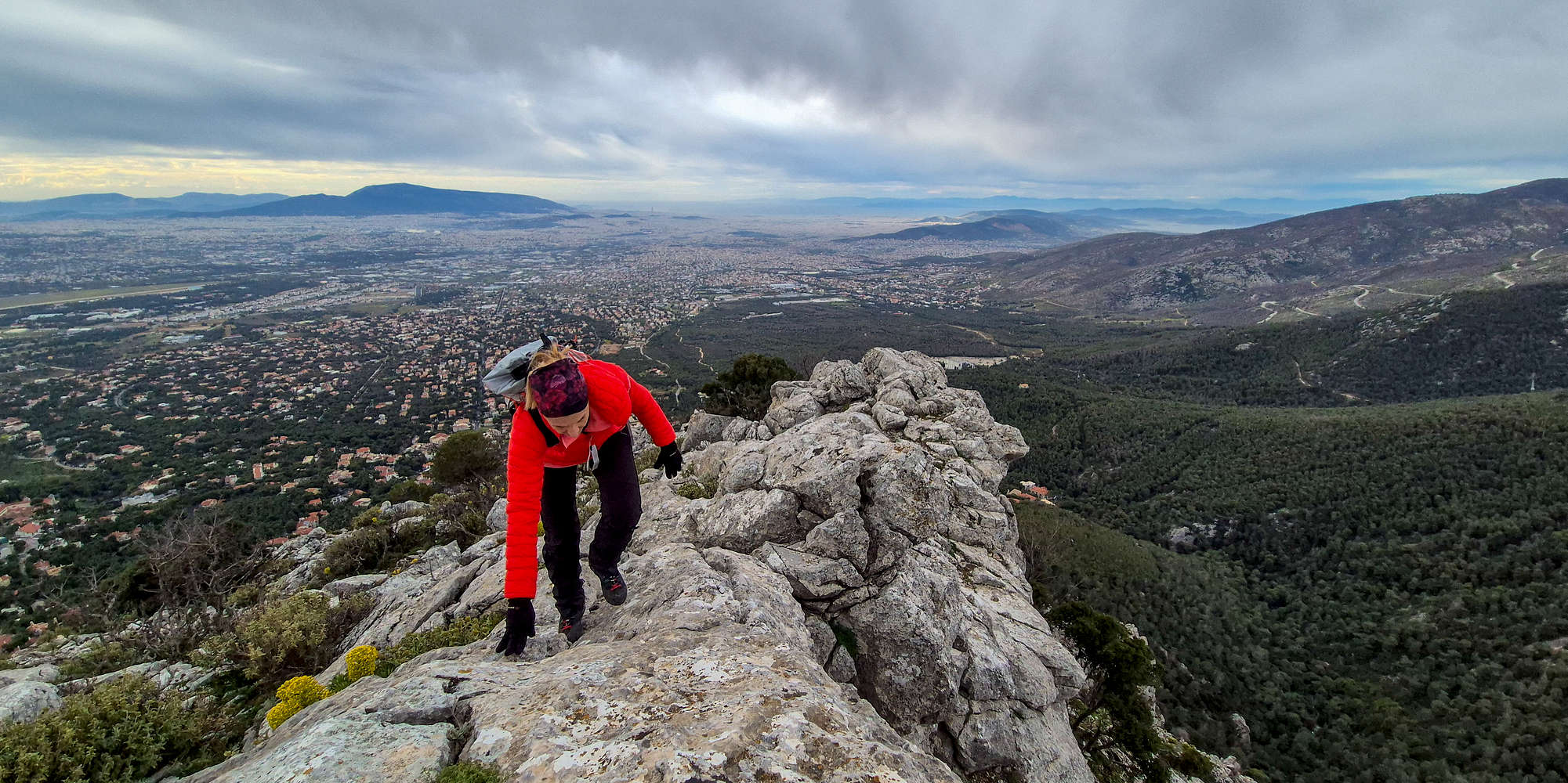
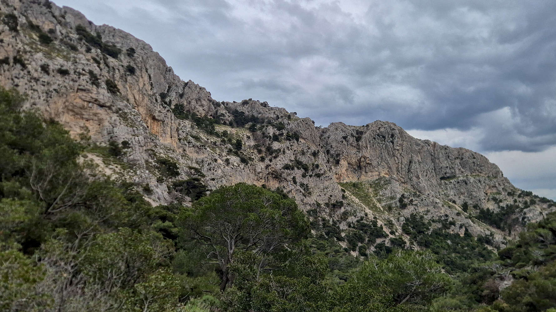
Scrambling on the airy crest of Kato Flambouri.
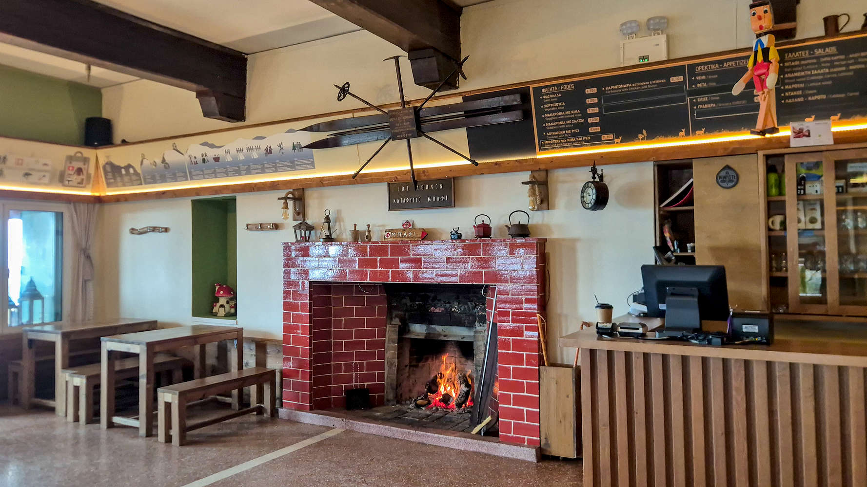
The big-mountain ambiance of Parnitha (1,413m) makes it the primary mountain on which Athenians engage in long hikes, multipitch rock-climbs, and even skiing - having done so myself in 2018. It has historically been much less developed than the lower and more accessible mountains of the basin, but is ever more popular today. Thousands of sport and traditional climbing routes on limestone can be found around its foothills, especially around Fyli and Chouni, and the refuges of Mbafi and Flambouri have now been basically turned into restaurants with lodging. However, with all the popularity, and the damage done by wildfires, the Parnitha National Park remains filled with life including populations of wild goats (not Balkan Chamois), foxes, red deer, and now even wolves.
Route
The summit of Parnitha (1,413m), Karavola (”Kαράβολα”) is visited infrequently, via the poorly marked ‘trail’ on its West ridge, but even then it is largely inaccessible since it is part of a military installation. Folks on Peakbagger.com have long established a de-facto highpoint by the fence on the North part of the summit cone, at 1,407m. I was aware of this for a number of years, but with access possibilities as far up as Kakorachi Col (1,222m) I actively avoided making the trip, since the route would be extremely short — not befitting the stature of the mountain. It was in September 2025, having completed Flambouraki Ridge (1,074m) [P-9] — via an incomplete ‘hard’ variation — that the pieces for an attempt began to fall into place.
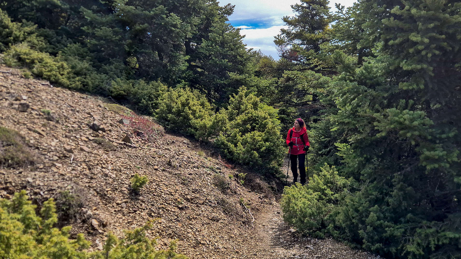
Hiking along the forest track below Karavola.
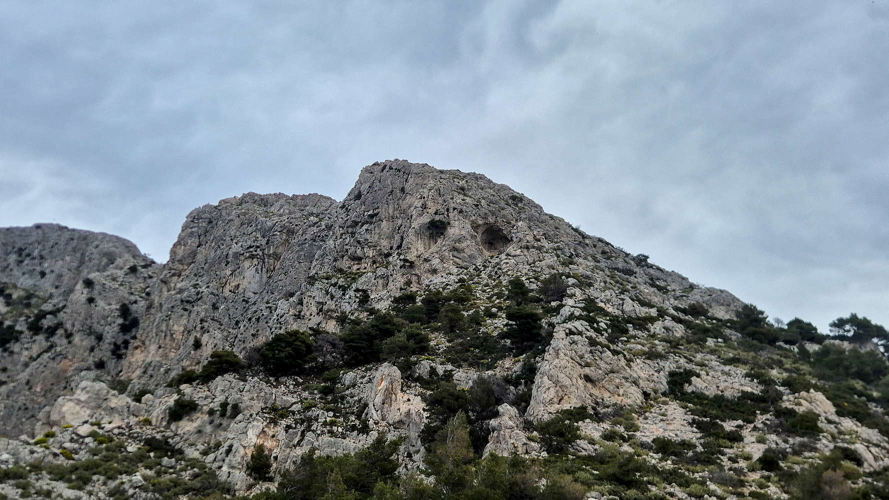
The twin caves of Kato Flambouri.
On that outing, I quickly realized that it would be relatively simple to attempt a link-up of three different objectives and in essence complete Athens’ most classic and varied route, and a true full day out. Starting in Thrakomakedones, the route follows the imposing Flambouri Ridge (”Κόψη Φλαμπούρι”) with climbing difficulties up to IV+ for 650m of vertical gain and up to Flambouri Refuge. From there a pleasant stroll brings us to Mbafi (”Μπάφι”), from where we continue upwards to Karavola (1,413m) via the SW Face, a direct variation. After summiting and returning to Mbafi the return is done by descending into Chouni Gorge (”Φαρράγι της Χούνης”), and below the base of Flambouri Ridge — it should take around 6 hours. In late March, as winter storms made their return, we found ourselves confined in Athens, and looking to wrap the month up with some good milage; it was finally go time.
With unstable weather on the way, we set off for an early start arriving at the familiar trailhead of Imathias street at 07:00. After changing into our gear and doing an equipment check, we quickly set off towards the ridge. Flambouri would make up the most protracted and technical section, although covering the shortest distance. Our pace was fast through the lower forest, as I could not wait to get right into — and out of — the climbing above. The overcast sky and dim morning light made our objectives clear; to outrun the impending rain, expected at around 13:00. With that in the back of our minds we passed some of our first views of Chouni before reaching the first climbing passage after about 30 minutes.
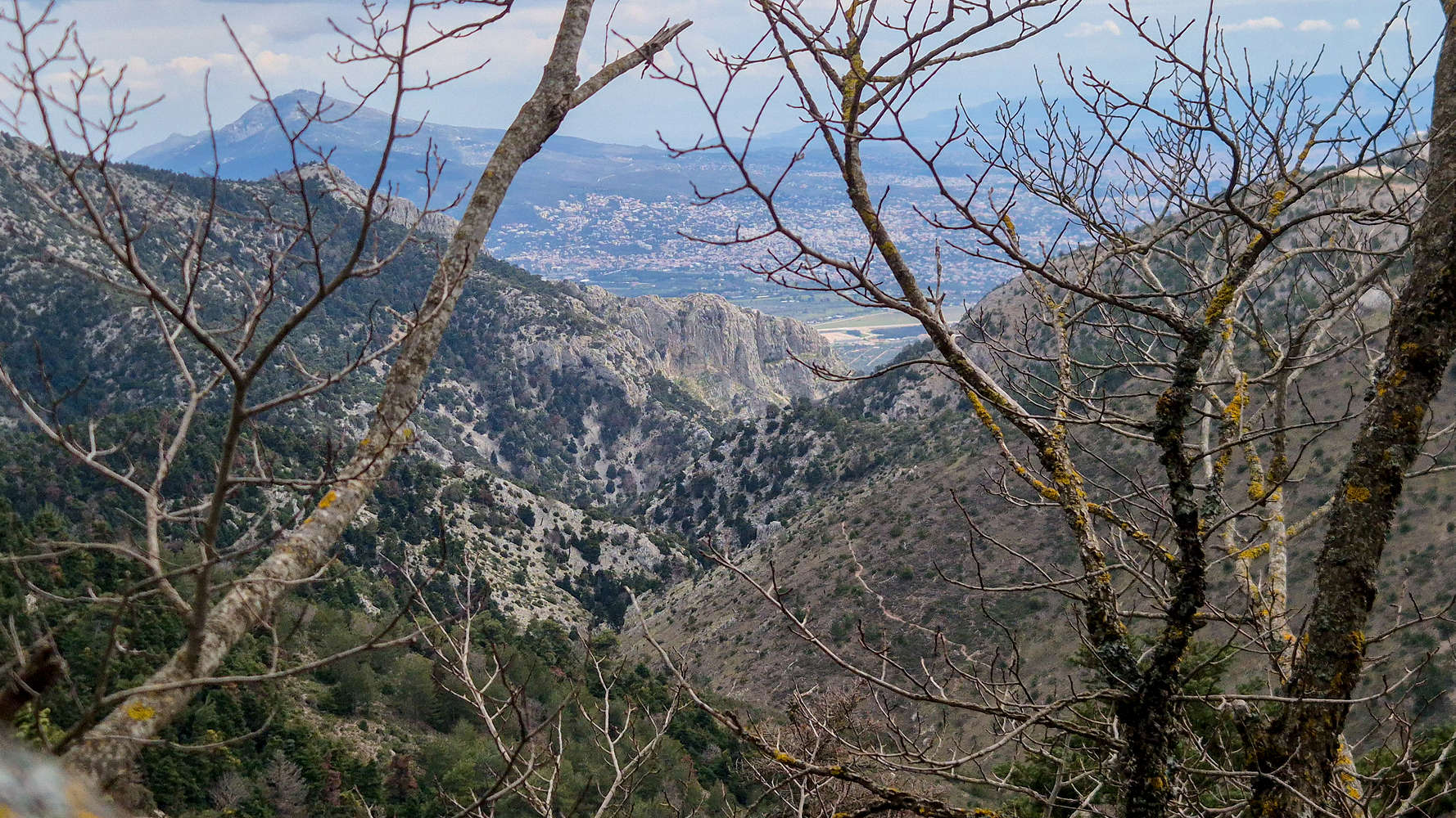
The peaks of Anemos (1,126m) and Mavrovouni (1,091m).
The first technical passage (III+, 5m).
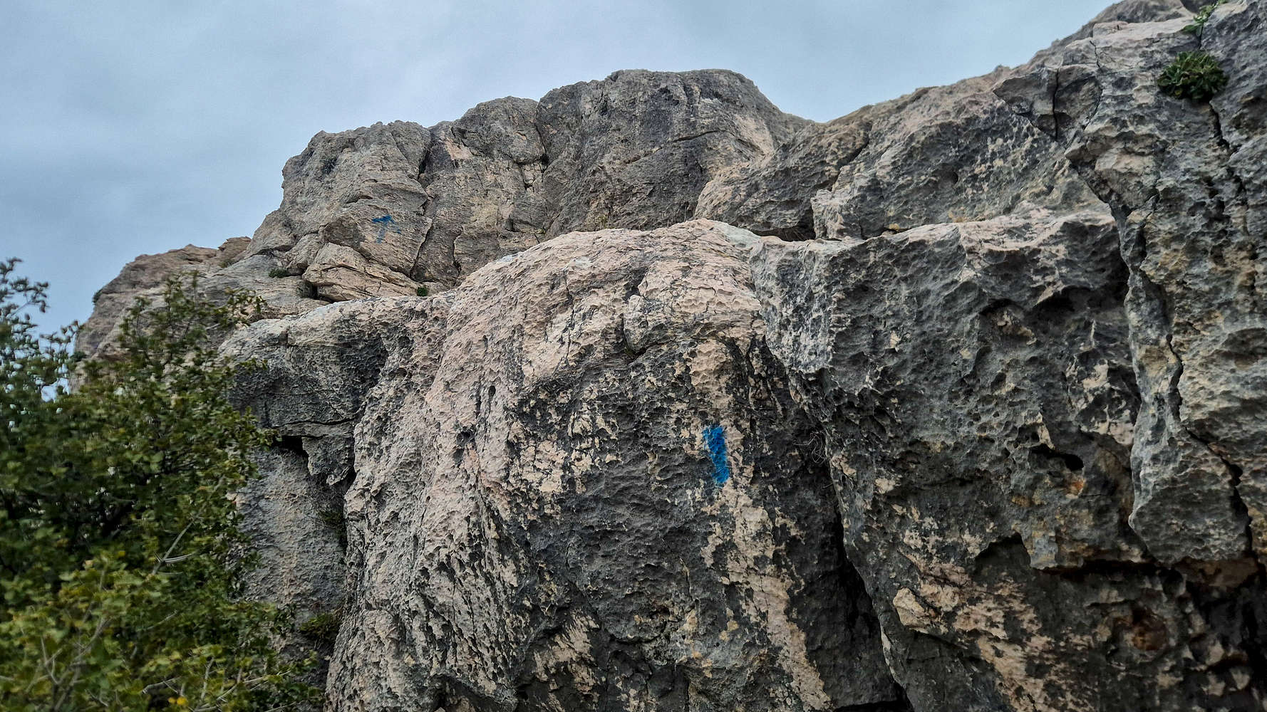
At around III+, the 5m high double step is an appropriate warmup for what follows, with the natural lines of shallow dihedrals and massive flaked jugs set the tone. Continuing with easy scrambling and intermittent trail, the real ‘blue’ crux is soon reached, a 7m-tall rib. I followed the arrows upwards for a couple of moves before downclimbing while Terry had already skipped past it. Easier terrain brought us in view of the caves of Kato Flambouri, and this time I was determined to follow the blue markings. Doing so led me to the lower cave, which proved a dead-end. Instead, the short rock pillar right before the entrance must be gained. This offered an easy but interesting traverse (III) before joining a ‘red’-marked entrance to the direct route over a narrow ramp (II). From here, easy scrambling (II+) and movement along ledges led to the top of Kato Flambouri. Having taken just over 1 hour from the car, we took a break a few meters away. Only a large herd of mountain goats disturbed the silence as they walked between the peaks; we were all alone as the clouds gave way to sunshine.
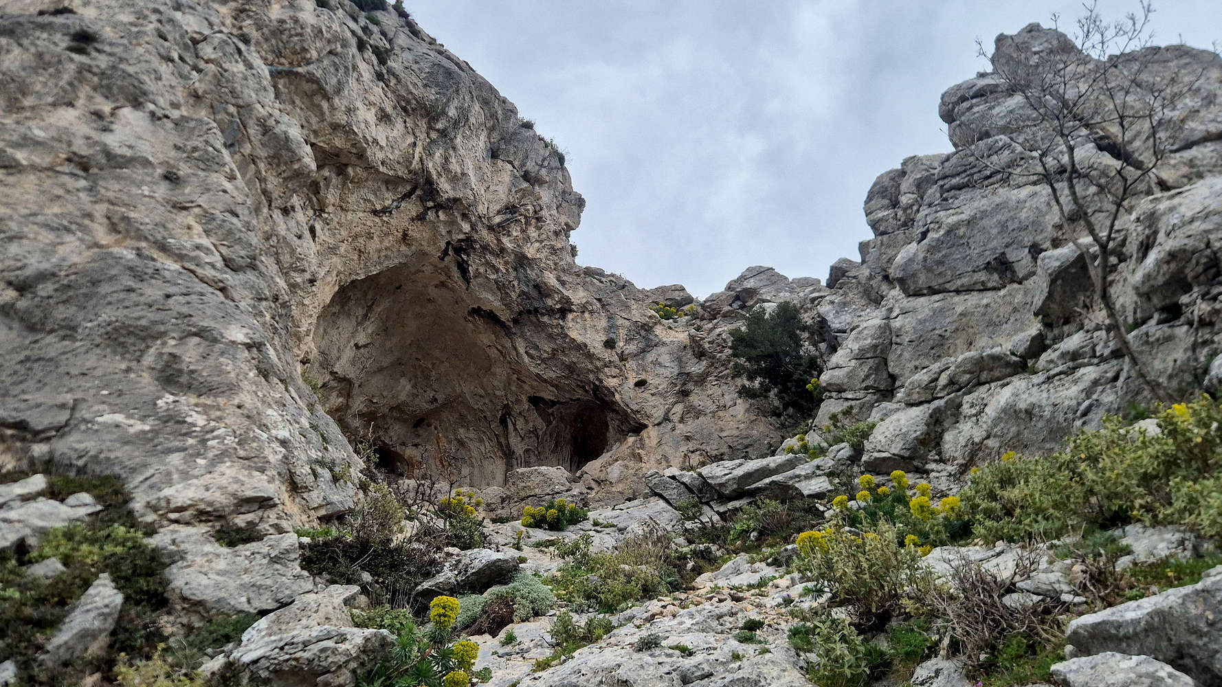
The lower of the two caves on Kato Flambouri.
Scrambling the ‘red’ ramp (II) above the caves.
We hiked the easier terrain leading away from Kato Flambouri, and slowly made our way to the base of the distinctive headwall of Pano Flambouri, a section which we had avoided on our previous ascent. I led up and onto its base, hiked towards its center, and then veered left and around a boulder, finding myself on an airy balcony far above Chouni. A wide slab about 1.70m in height gave way to a narrow chimney, and an easy exit . As Terry caught up, I made the climb, finding lovely flakes on the lower slab and executing a foot-swap; the chimney was easier although feeling a tad bit more exposed. With Terry awaiting some instruction I downclimbed the problem (IV-) and sat on the ledge above the slab, as she made her attempt.
Views of Flambouraki Rigde, Chouni Gorge, and the Athens Basin from Pano Flambouri.
Quickly, the exposed position and slippery slab overwhelmed her, and after flailing for few minutes holding on to a giant jug, she managed to downclimb and avoid the feature. I climbed the chimney again and waited at the top of the headwall, she joined me having followed the blue markings — apparently via the easier east spur. We continued quietly along the bands and outcrops that garrison the last few meters towards the summit, making the most of the final technical moves of our route. We reached the giant flag of Flambouraki (1,074m) after 2 hours from the car and sped off to the nearby refuge.
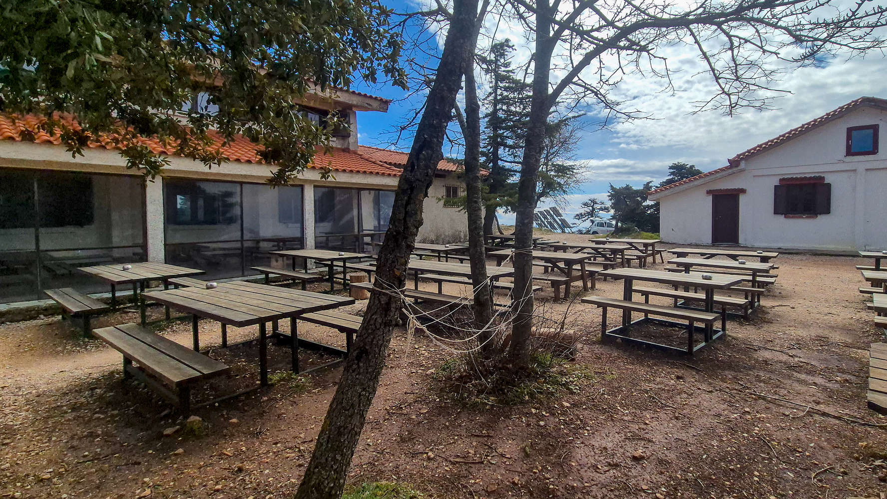
Flambouri refuge empty in the morning.
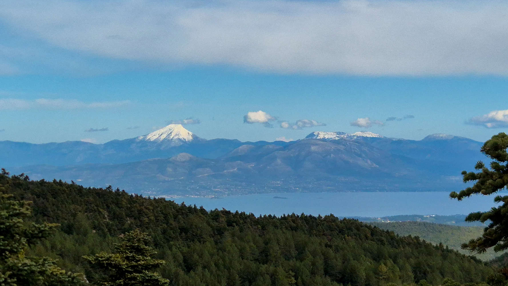
Dirfi (1,743m) and Xerovouni (1,453m) from near Flambouri.
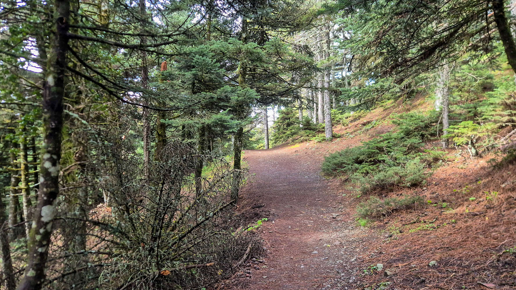
We arrived at the Flambouri refuge at 09:20 and found it eerily empty. The morning clouds and gloomy forecast had kept visitors at bay and it was nice to enjoy the peace and quiet. We rested for over 10 minutes, picking up some water before continuing towards Mbafi. As we walked away, we were rewarded with a beautiful clear view of the snowy Dirfis (1,743m) complex some 40km away. Following the refuge access road was easy going (T1+) and we made up on lost time as we edged nearer the road. Here we ran into the first hikers of the day, making the short walk to the refuge from their cars. After 20 minutes, we arrived at the forestry gate and after conversing with another visitor were informed of the increasing populations of medium sized animals (foxes, deer, wolves, hogs etc.). We joined the connecting trail for Mbafi, noting the improved quality as we approached the refuge. After losing our turn-off, and getting lost among a maze of trail construction we arrived at the parking lot and headed inside.
Manicured trails near Mbafi refuge.
The interior of Mbafi refuge.
We took a rather leisurely break on account of the lovely sunshine before the final push for the summit, once again buying some water and eating some snacks. We followed the access road in the direction of the Parnitha Casino for a few meters before turning right and onto the paved road towards Kakorachi. At its start we avoided a long turn via a shortcut through the woods, rejoining the road above we followed it to the Col (T1). The great weather and lush forest were pleasant company for the 15 minutes it took us to reach our final trailhead. Here we found a curious and friendly fox befriending an equally curious and friendly photographer. Her small stature, fluffy tail, and deep color betrayed her gender, age, and health; for an animal very much unlike those I was accustomed to seeing in urban London. To my dismay the photographer let us know that he gave her part of his flapjack, something loudly warned against on signs throughout the National Park.
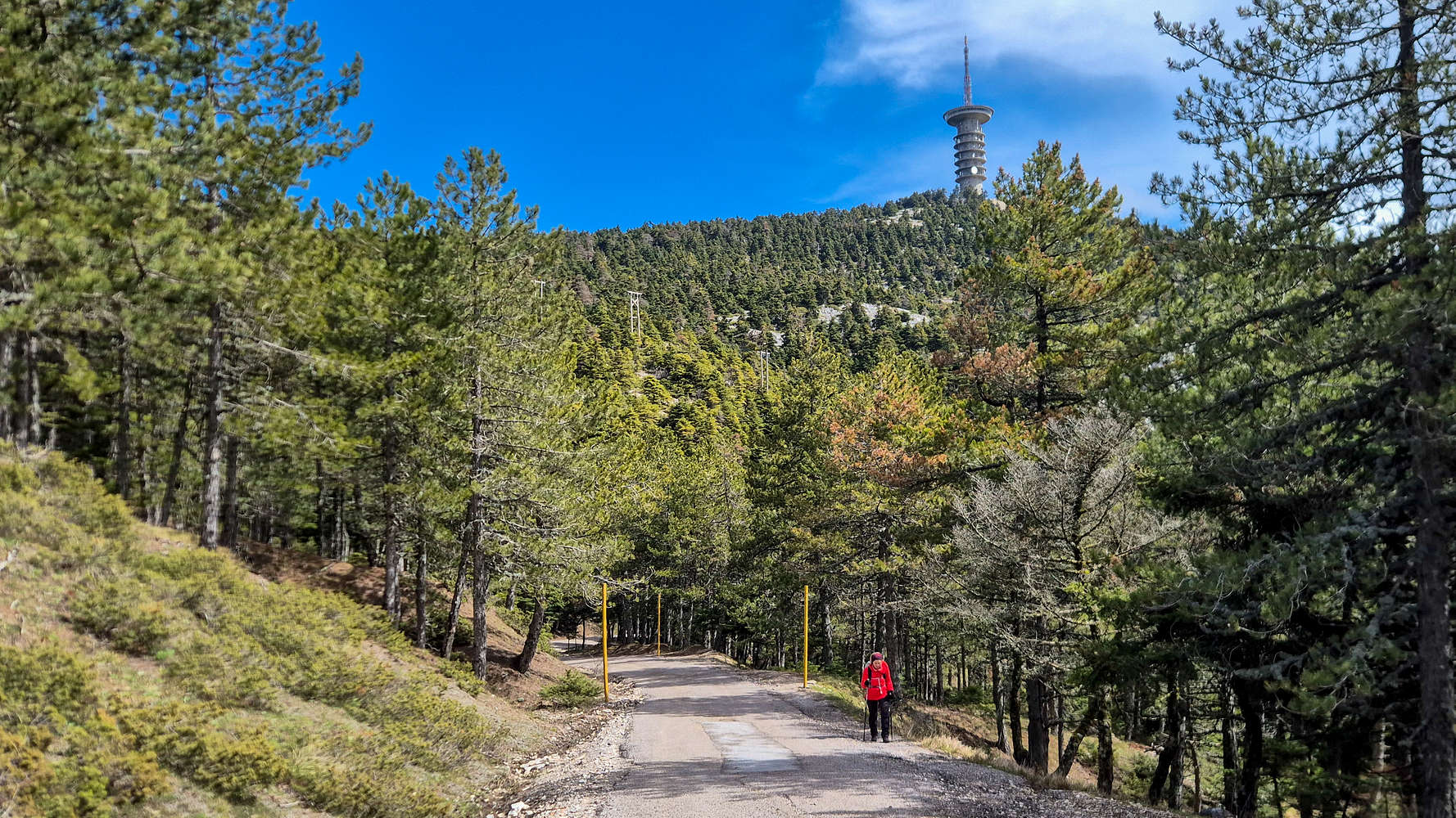
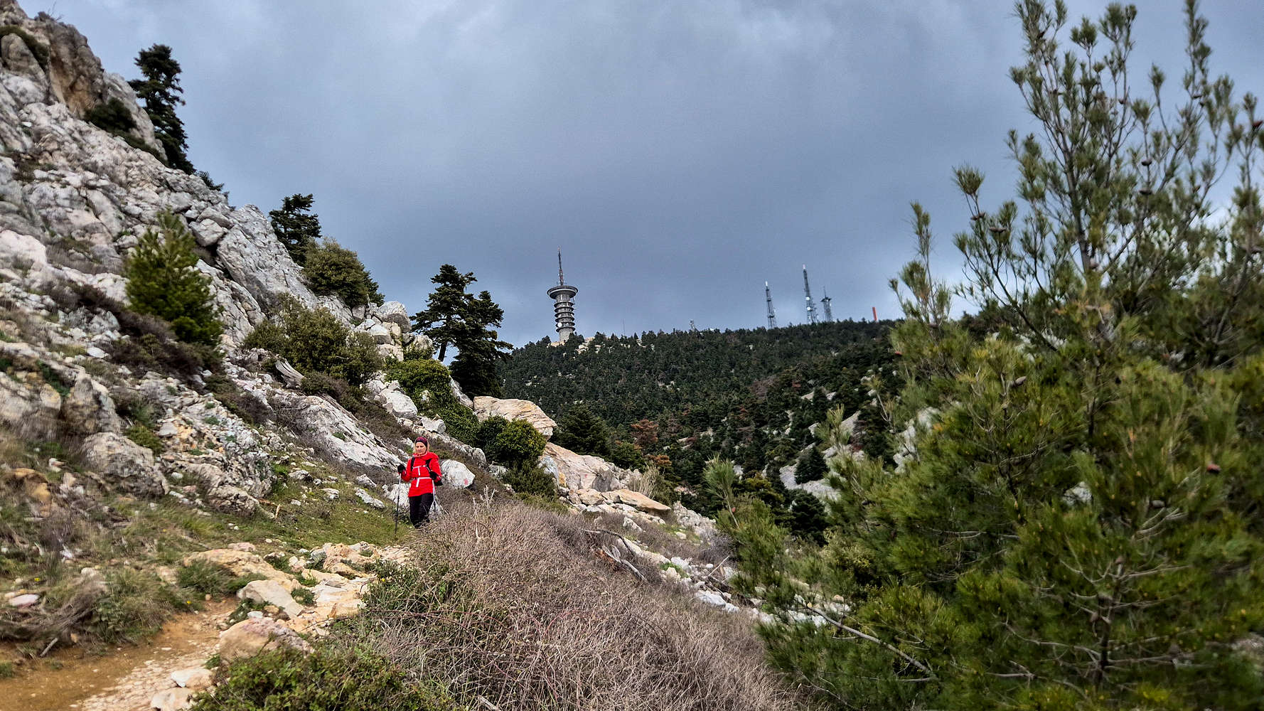
Hiking to Kakorachi Col. with Ornio (1,340m) behind.
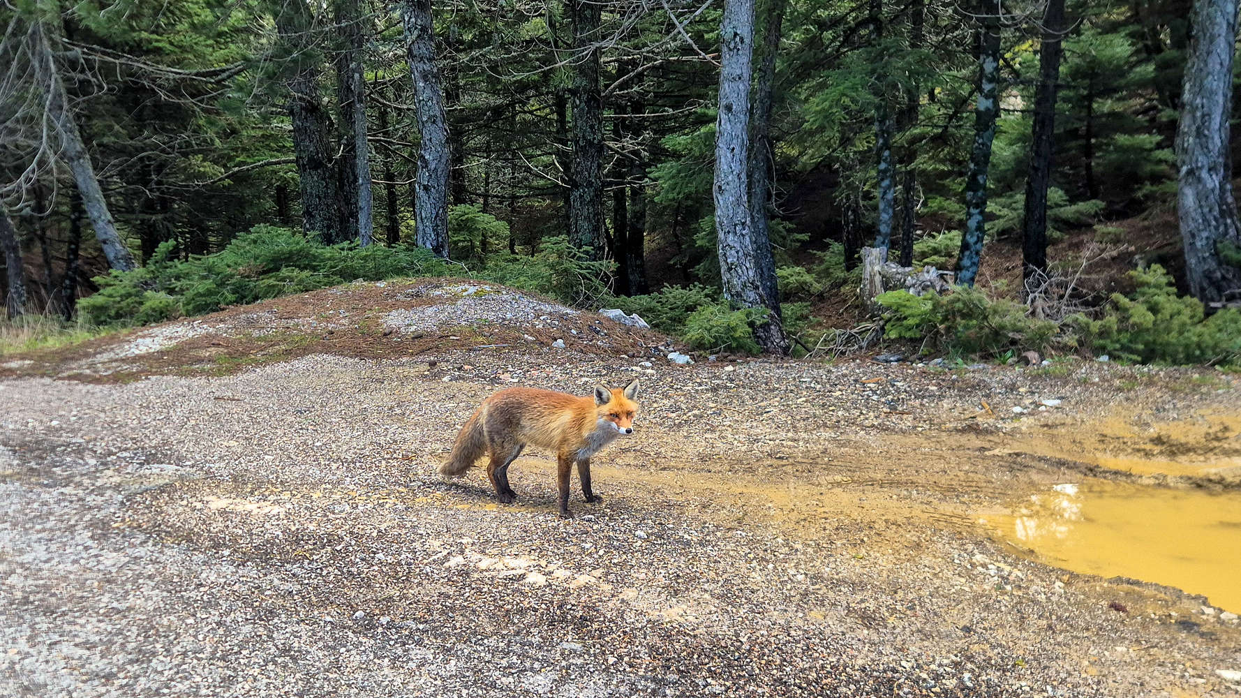
Beautiful friendly fox at Kakorachi Col.
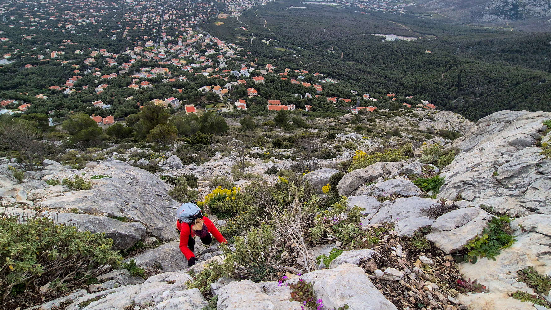
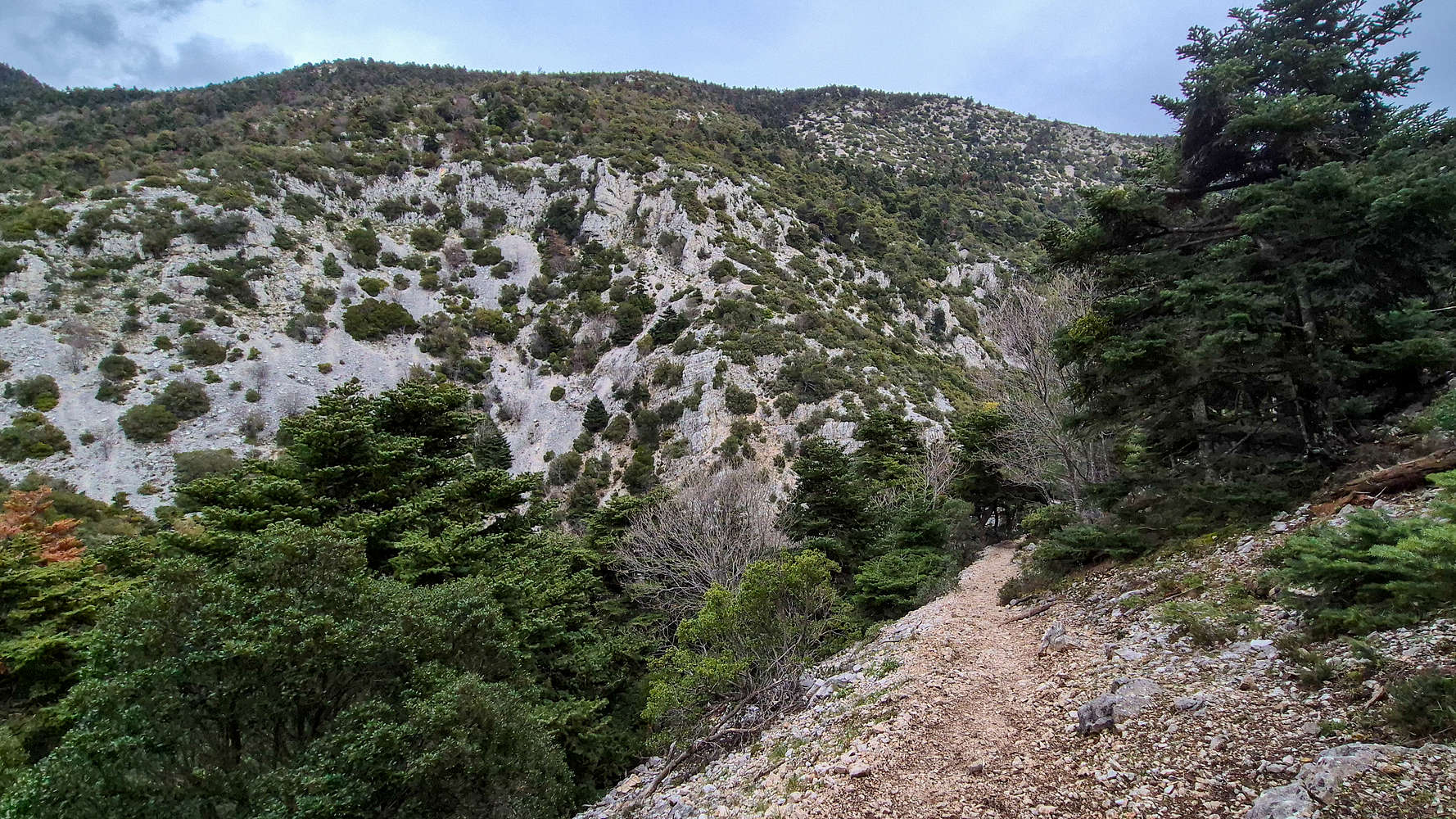
Joining the trail once again we were met with a narrow scree track (T2+) circumventing the foot of Karavola. The elevation became clear at once with the Western slopes offering views to the sea and the vegetation taking on an alpine feel. We followed the track for 300m, losing any signs of the indicated crossroads, and after inquiring with a group ahead, we decided to retrace and at worst attempt an off-trail route. Leaving the trail and entering a slope of cracked scree, burnt trees, and bushes was an unwelcome but short approach to the obvious rock band. We took a short break near a sharp boulder which I climbed (SDS, V2), but the band itself proved uneventful, falling via an easy traverse (II), although the debris and scree added some instability. Above the band we traversed towards the summit on secure scree (T3) and entered the upper forest. After faffing around, and losing some elevation to cross a ravine, the ginormous radar dome of the summit came into view above the trees and gave us renewed direction. Soon we were skirting around the perimeter fence.
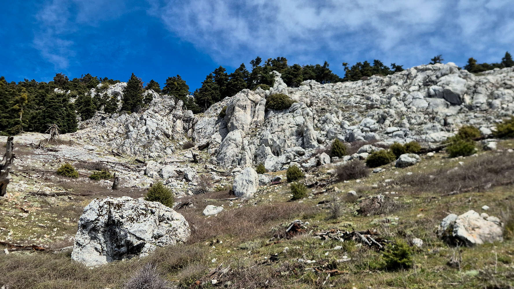
The final rock band, we climbed image right.
The radar dome points the way to the summit.
A section of rusted out fencing cut up at points — completely unnecessarily however since its far side is not enclosed — provides access to a rocky outcrop at the foot of the military base. At 1,400m of elevation it offers a commanding 270° view of the sprawling massif. Left unguarded as the ‘highest public point’ it was more than good enough for us. Making the 100m traverse to the much less comfortable true — but still false — highpoint would be a waste of a fine break. Most notable however, was the weather which lingered overcast and stormy just an arms reach North of us, while the sun shone bright to our South. Our impending doom at the hands of a storm seemed to be delayed, at least long enough for a break. One could not enjoy the views for up there enough.
Views towards the SSW of Salamis and the Arma formation.
The sprawling foothills of Parnitha to the WNW.
We turned our sights back down and to the toilsome descent awaiting us. We followed vague cairns along the West ridge of Karavola, slowly but surely descending into the dense forest of Fir on the NW aspect (T2+). As we neared the Skipiza Firewatch we were able to follow faint markings before turning off and left onto the long traversing track back to Kakorachi Col. Sadly we underestimated the length of the section between the turn and the col spending a lot more time following the well laid but eroded track (T2). We reached the col. after 35 minutes from the summit.
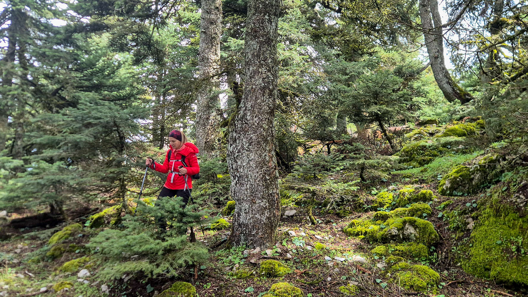
Terry descending the forested NW ridge.
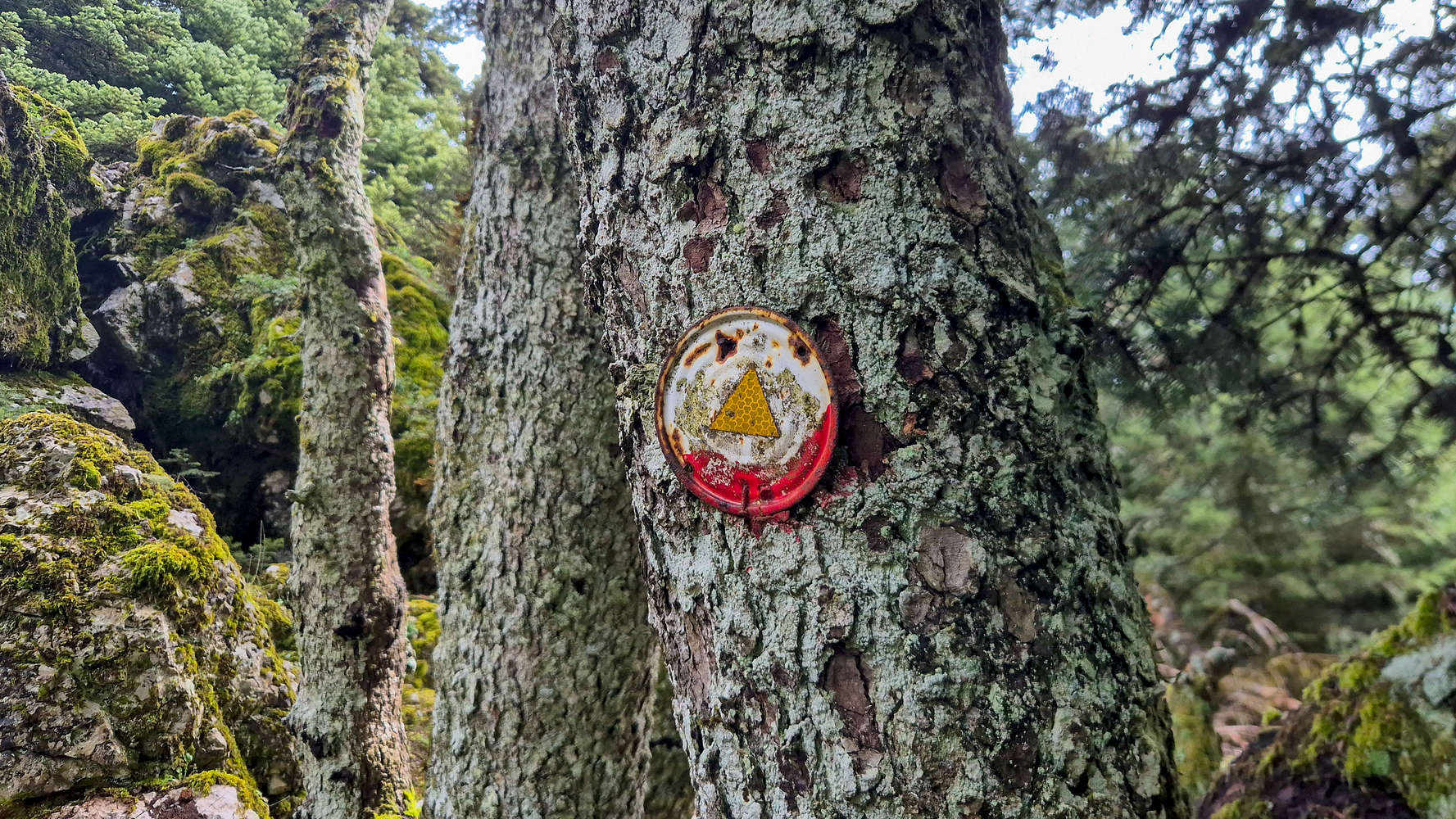
Old tin-tops used as trail markers.
The descent to Mbafi was uneventful and we took some time to rest and discuss our options. It was well past 13:00 and the forecasted storm was still North of the summit. After some water and snacks we decided to continue with our plan, in uncertain weather, rather than walk nearly the same distance to the Casino gondola. We avoided ruminating on the decision as we sped off away from the diners enjoying their meals on the balcony. The Gorge of Chouni is the most characteristic feature of the South aspect of Parnitha, spanning an impressive 3.5km in length, and being over 300m deep at its maximum, with Flambouri Ridge essentially making up its Eastern wall. We followed the well laid dirt track below Mbafi and across the valley, eventually starting a long descent on a heavily eroded muddy slope, where we met our first few true “hiking tourists” making their way to the refuge in streetwear along with young kids. Our arrival to the upper Chouni valley continued the trend of meeting late-comers while our own final ascent was soon completed, reaching Agriokerasoules (”Άγριοκερασούλες”) just below the Casino after 35 minutes.
View of Chouni and Kato Flambouri from Mbafi.
Descending into Chouni with view of Ornio (1,340m).
From here the route began the true descent into the heart of the gorge and deeper below the headwalls of Flambouri. Traverses on slightly descending scree initially set the tone of the approach to Theriza (”Θέριζα”). An inconspicuous turn of the trail led East and uphill towards Flambouri Refuge, while below it the gorge opened and deepened downwards. We made it to the top of the Theriza switchbacks, running into a man whom we had seen at Mbafi. We chatted for a bit, were offered some snacks, and went on our way, completing the switchbacks and reaching the bottom of the gorge for the first time; above us rose the wall of Kato Flambouri.
Trail leading deeper into Chouni.
View of the “Gate” of Chouni at Theriza.
The trail continues along the river-side, occasionally dipping into its bed before once again using the East bank; and with the route in shadows for hours the cold was palpable. In the veritable silence our only company were a few Eurasian Jays (Garrulus glandarius) cawing loudly above the canopy. Surprisingly a few more people were seen ascending, at nearly 14:30, with more than 2 hours to go until Mbafi. We instead found ourselves at the exit of Chouni, where the homonymous sport climbing crag and the first few houses were to be found. A final steep embankment of 15m was all Terry could muster before triumphantly reaching the car. The final and most spectacular of the Athens Basin routes was now complete, 7 hours, and 16km later. Once again, by the time we packed and drove away the rain started; our luck continues.ail
Incomplete view of Flambouraki Ridge from Chouni.
The headwall of Kato Flambouri.
Interactive Map
Logistics
Since it is an Athens Basin peak there was little to no logistical planning required, we simply drove that morning to the trailhead at Imathias Street (📍 Google Maps). We pre-planned minimum water, and enough food for the entire route, instead refilling only our water at the refuges. We spent ~€3 for 3lt of additional water over 3 breaks.
Nearby Peaks
The following is a list of significant nearby peaks.