Oneia (581m) [P-316]
Summited On: March 25, 2026
Region: Xylokeriza, Corinth, Peloponnese, Greece.
Overview
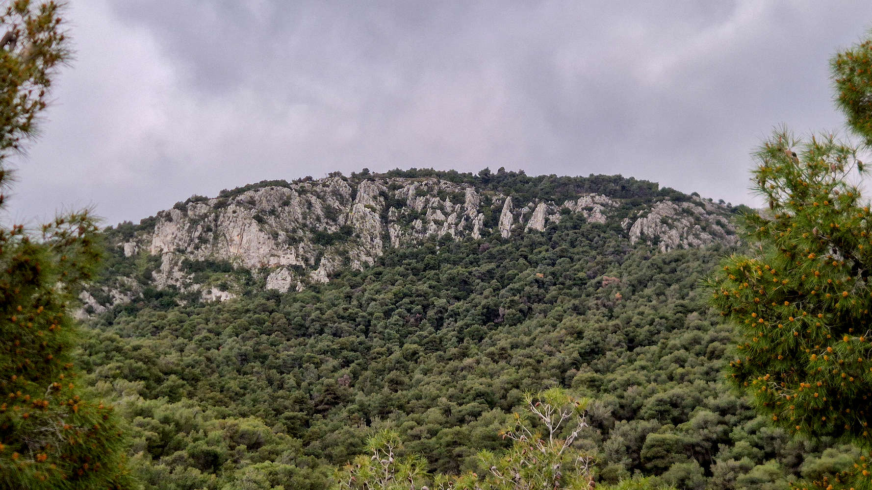
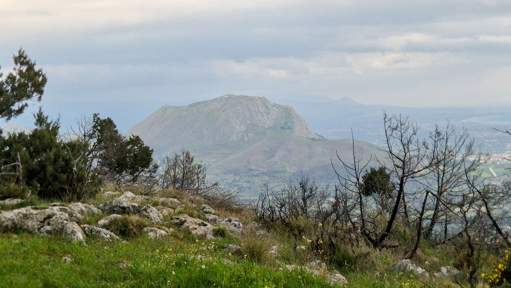
Oneia Ori (581m) [P-316] [”Όνεια Όρη”] are a prominent limestone massif which form a 8km-long longitudinal ridge and are situated just outside the city of Corinth, and East of Akropokorinthos (574m) — the Acropolis of Corinth [1]. Its location near the Isthmus has led to its inclusion in the historical record, although its rocky slopes did not enable widescale development. Besides the primary (Western) summit of Profitis Ilias (581m) [”Προφίτης Ηλίας”], the (Eastern) peak of Oxy (562m) [”Οξύ”] is also popular on account of its sea views. The Corinth Mountaineering Club (ΕΟΣ Κορίνθου) has signposted and maintains four (4) trails on the massif [2].
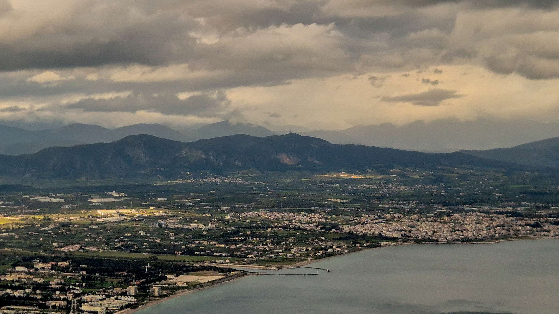
Oneia (581m) as seen from Patapios Monastery.
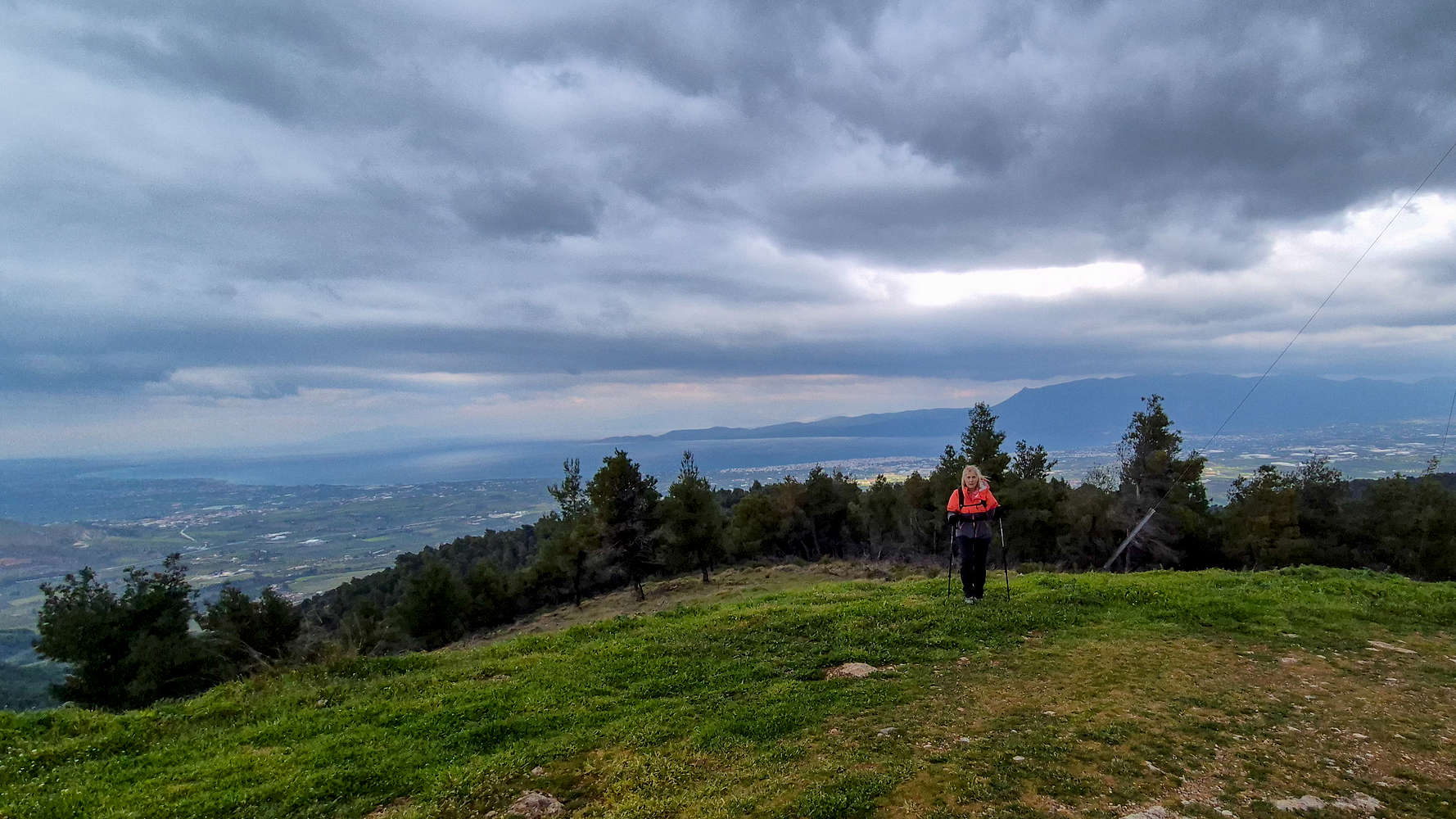
Expansive views from the summit ridge.
During the Hellenistic period, Oneia Ori (581m) saw the construction of fortifications between Agia Paraskevi and Loutra Oraias Elenis aimed at blocking access to the passes of Maritsa (”Μαρίτσα”) and Stanotopi (”Στανοτόπι”), and thus, into inland Peloponnese [3]. In 56 AD Apostle Paul arrived at the port of Kechries (”Κεχριές”) and soon made his home within an elevated cave on the Eastern ridge of Oneia, where said to have written his “Epistle to the Romans” [4]. Little more is known about the area until well into the 18th century and following the construction of fortifications by the Venetians [5]. Aiming to protect the — same — passes by Ottoman incursion via the Isthmus of Corinth they were never manned or used. Today Oneia (581m) are somewhat forgotten, hiked infrequently, mainly by locals or Athenians on a time-crunch.
Route
Our plan had remained open until very last minute this 25th of March and due to the mid-week bank-holiday, wintery weather, and work commitments, we were dissuaded from making the effort for a far away objective. We mulled several ideas, with some requiring overnights, and others were simply discarded of account to weather or distance. Among my easy backup list for day hikes from Athens has been Oneia Ori (581m), the curious limestone massif of Corinth. Given our circumstances, we found ourselves rather happy to finally make the trip to this curious massif.
We arrived at Analipsi a little later than we had anticipated, but with the weather holding off, this rather short outing would still be possible. At just 210m of elevation, the chapel offers a great trailhead for the South aspect with more than 350m of uninterrupted and undeveloped mountainous terrain above. Leaving our car there, we wandered towards the obvious retention walls and spring next to a ravine (SW). After realizing we were heading in the wrong direction, I decided on using the roads above to turn back while gaining elevation. The red markings of a trail beckoned us to into the forest.
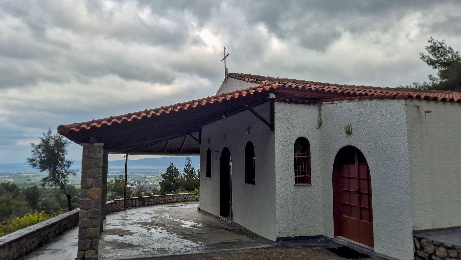
The Chapel of Analipsi.
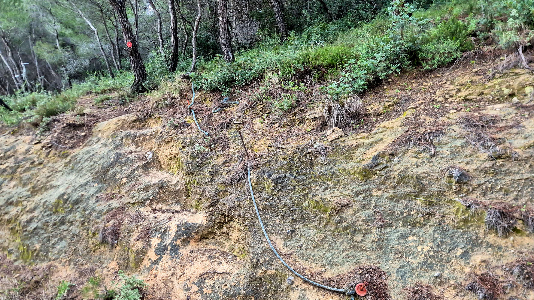
Old rope handrail near the FSR.
Following the red marks on a rightwards traverse (SSW), we made our way through the forest (T2-) and nearing the FSR above we encountered a very old rope handrail (T2) at a rather unnecessary stop. Now continuing on the road for around 10 minutes we realized it would have been simpler to use the access trail before (ESE) the Chapel of Analipsi instead. However we still had a ways to go and made the best of the extra milage on the pleasant dirt road (T1). Eventually we caught a view of of the interesting S headwall of Profitis Ilias (581m). After 19 minutes from the car we reached the FSR turn-off which acts at the uppermost point of access into the South aspect.
The Profitis Ilias headwall.
Entering the forest above the FSRs.
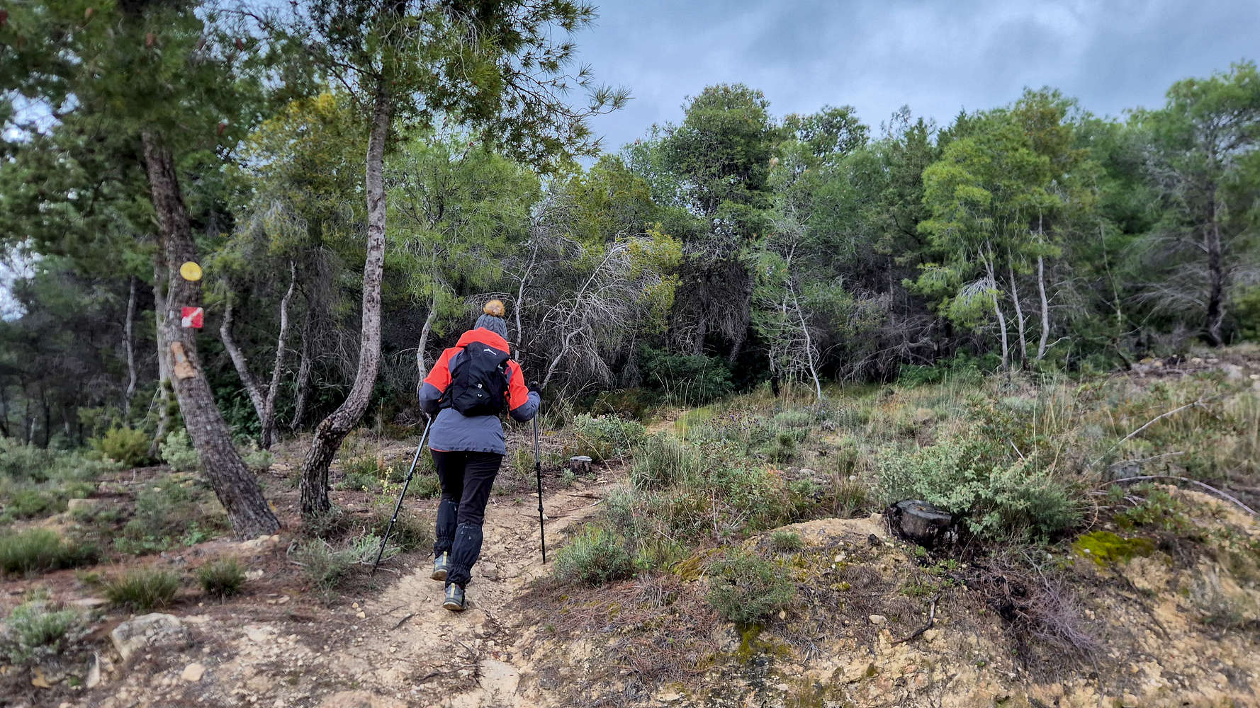
The trail, still marked in sparse red, continues directly uphill on the initially unimpressive South Ridge and through the dense pine forest, using a nicely cleared track (T1+). The going is pleasant and the canopy cover would be a welcome relief on a sunnier day. As elevation is gained to around 325m and the rocky terrain below the headwall, the pines are replaced by tall brush while the track becomes fainter (T2-). At the base of the headwall (~400m a.s.l.) a slight left (E) traverse leads to a forested ramp. Here we made a little diversion further left making an airy traverse on a ledge (T3-), which can easily be avoided. The trail then ascends in a SSW direction using a couple of switchbacks alongside the edge of the headwall, but that fact is not noticeable later. At approx. 470m, and following a right (W) traverse to re-center along the ridge (T2), a small clearing above the headwall is reached.
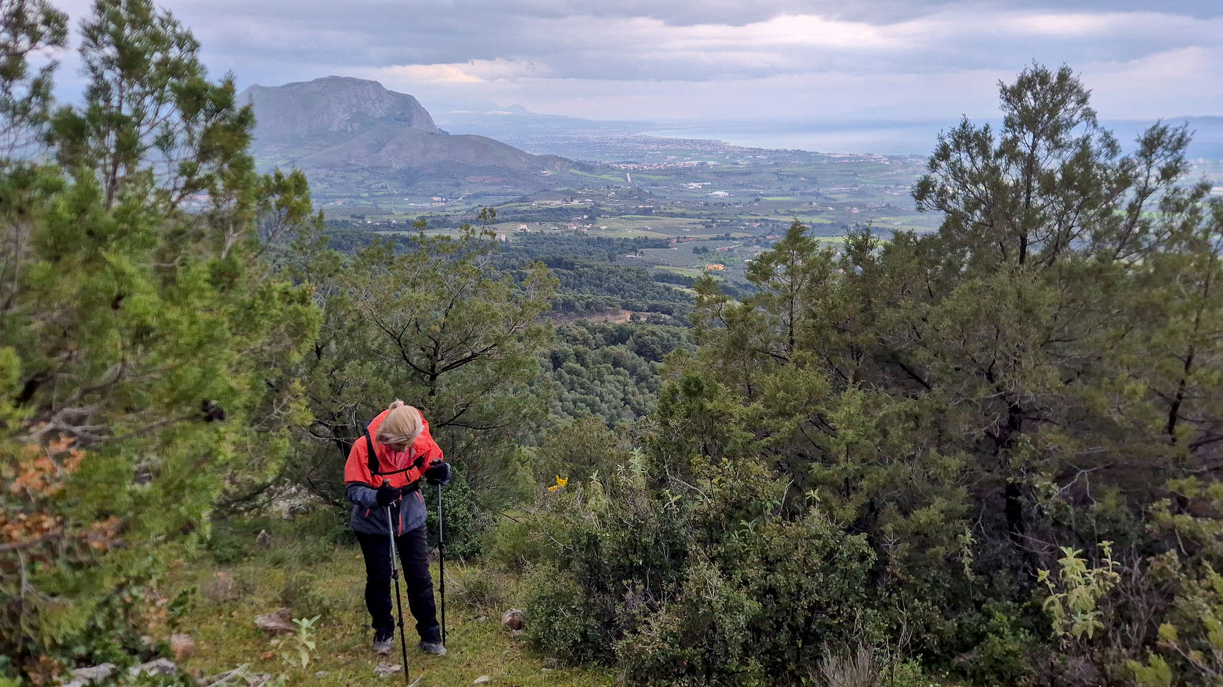
Hiking at the edge of the pines with Akrokorinthos in view.
Views of the foothills and Corinth from the traverse.
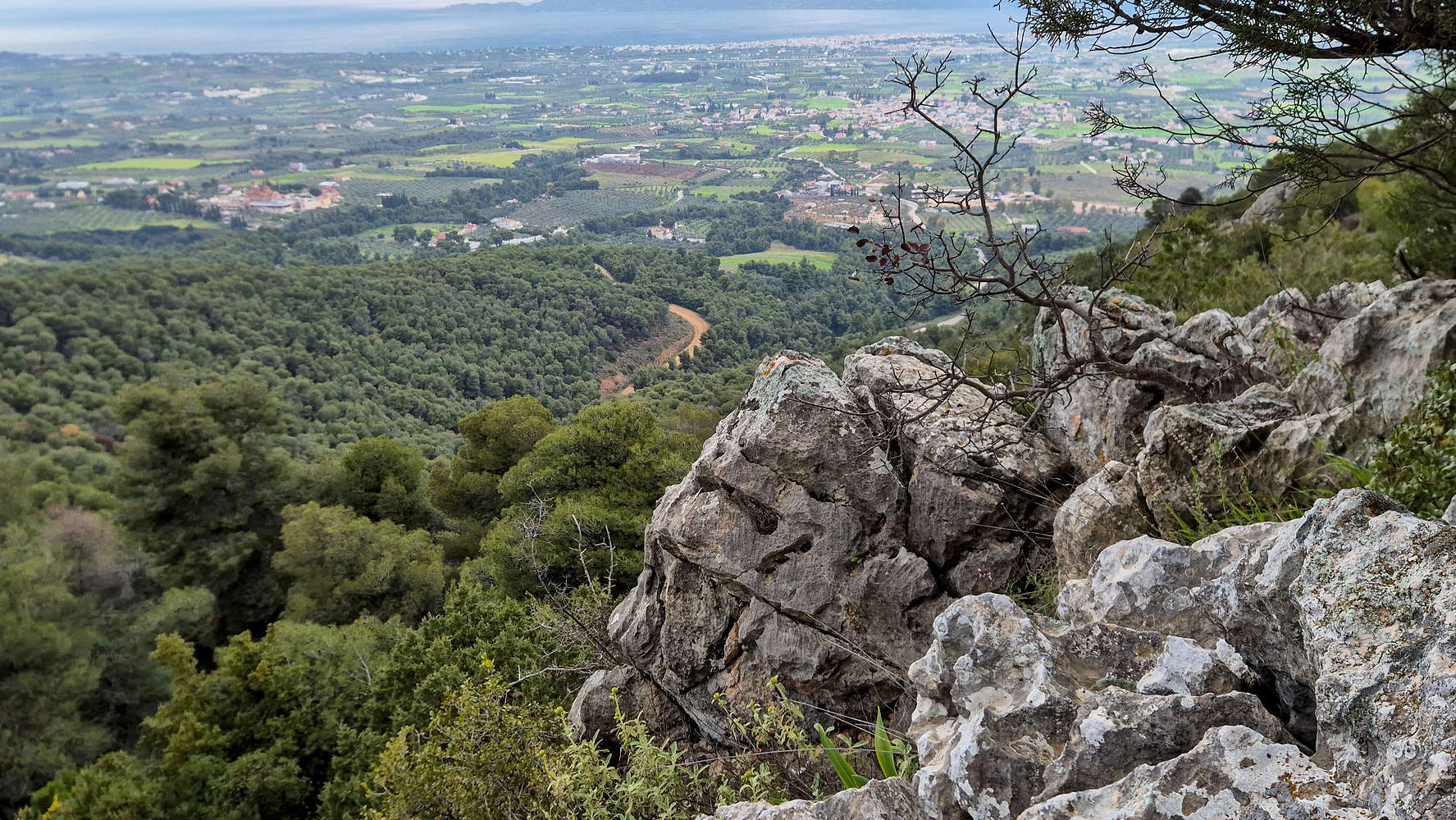
Having overcome the headwall the terrain transforms into a less rocky environment with lush vegetation of older and larger pines, which one must weave through following the sparse markings. The pleasant ascent through the forest (T2) offers the first of the grand views across the costal areas of Corinth and its Bay. At around 515m it gains the ridge proper and becomes flatter; at this point the summit with its telco tower and chapel come into view for the first time. Once again the route is pleasant, among trees, and not particularly difficult to navigate, although the very sparse markings and few cairns stiffen the rating (T2). Slowly the trail will begin to arc right (W) as it aligns with the summit, and with views to the forested ridges and nearby mountains leads out of the forest and onto a grassy field (T1+) before reaching the short dirt road to the summit chapel.
Akrokorinthos (574m) from above the headwall.
Expansive views above the forest, near the summit.
The wind which was apparent by the weather conditions only made itself known on the summit, and being protected by the chapel we made good use of a short break. The wind, low temperatures, and our later departure meant 11 minutes were more than enough so we began retracing our steps. The descent was much easier, especially until the headwall (T2-) and then skipping the traverse for the normal trail (T2), until the forest, taking around 30 minutes. The descent through the forest was even quicker, and at the FSR we found signs pointing us down towards the chapel of Analipsi — which we had totally missed on the ascent.
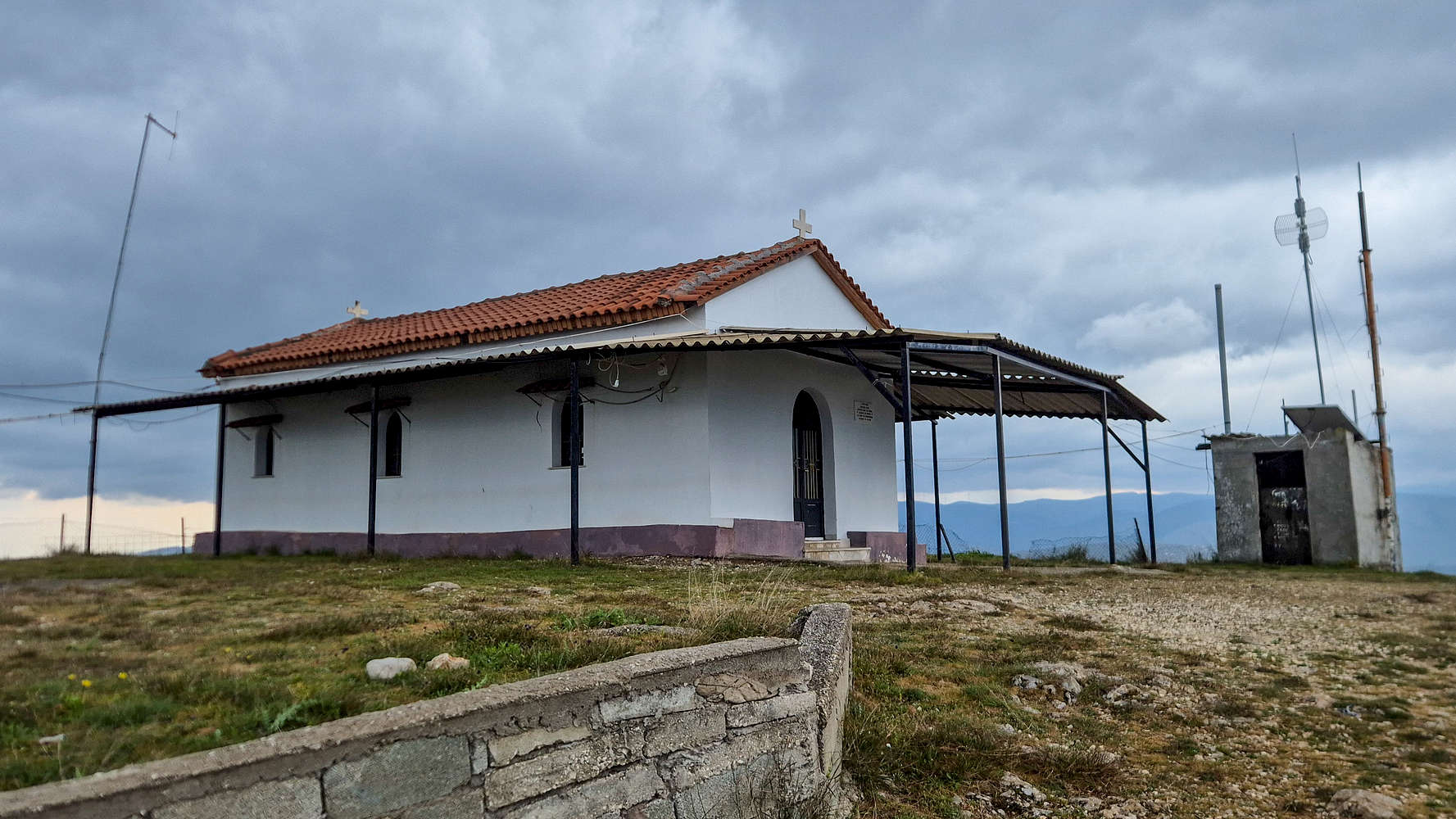
The Chapel of Profitis Ilias on the summit.
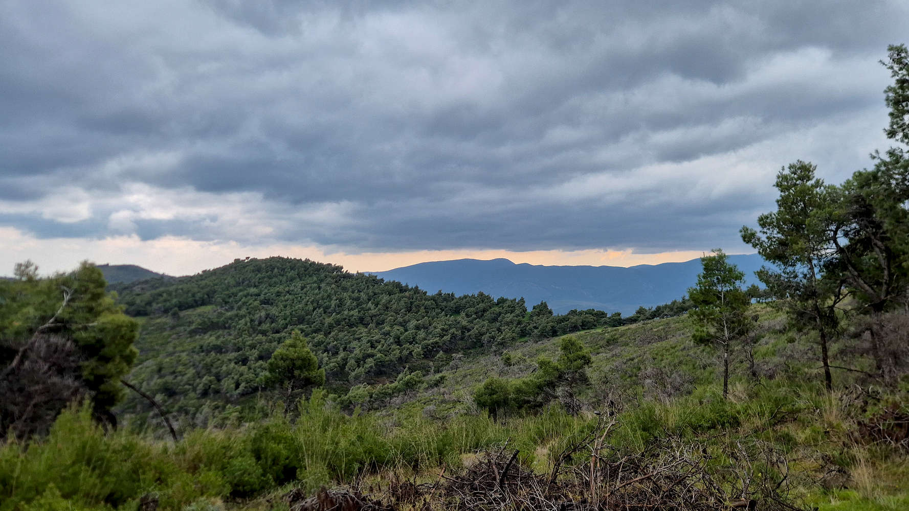
The forested ridges of Oneia from near the summit.
However, the steep and loose forest trail (T2) was rather vague and after traversing left (W) above the road, it brought us near the ravine by which we started but offered no concrete exit; we clambered down via a dry streambed (T2) and made it back to the car. With our navigation error at the start, the round trip took 2:20 hours. By the time we were on the way to the Isthmus it had began to rain.
Interactive Map
Logistics
As a day hike from Athens, little logistical planning was required. We left central Athens around 08:00 and drove about 1 hour 15 minutes to the Chapel of Analipsi (📍Google Maps). Although a national holiday, we saw no-one else. On our return to Athens we attempted to stop for a meal in Agioi Theodoroi but were turned away on account of the day.
Nearby Peaks
The following is a list of significant nearby peaks.