Mynydd y Grug (374m) [P-204]
Summited On: June 1, 2026
Region: Trethomas & Crosskeys, Caerphilly, Gwent, Wales, UK.
Rating: ★★☆☆☆
Partners: Solo
Overview
Mynydd y Grug (374m) [P-204] is a short but sprawling Marilyn which extends NW to SE through Sirhowy between Caerphilly and Crosskeys, and essentially forms the South side of the Sirhowy valley across from Mynydd y Lan (381m) [P-221]. While rising rather steeping from Sirhowy, it offers an impressively smooth gradient on its South aspect which leads down the Rhymney river valley and into Caerphilly. This Marilyn features two prominent peaks, with Mynydd Machen (363) [P-113] to its SE.
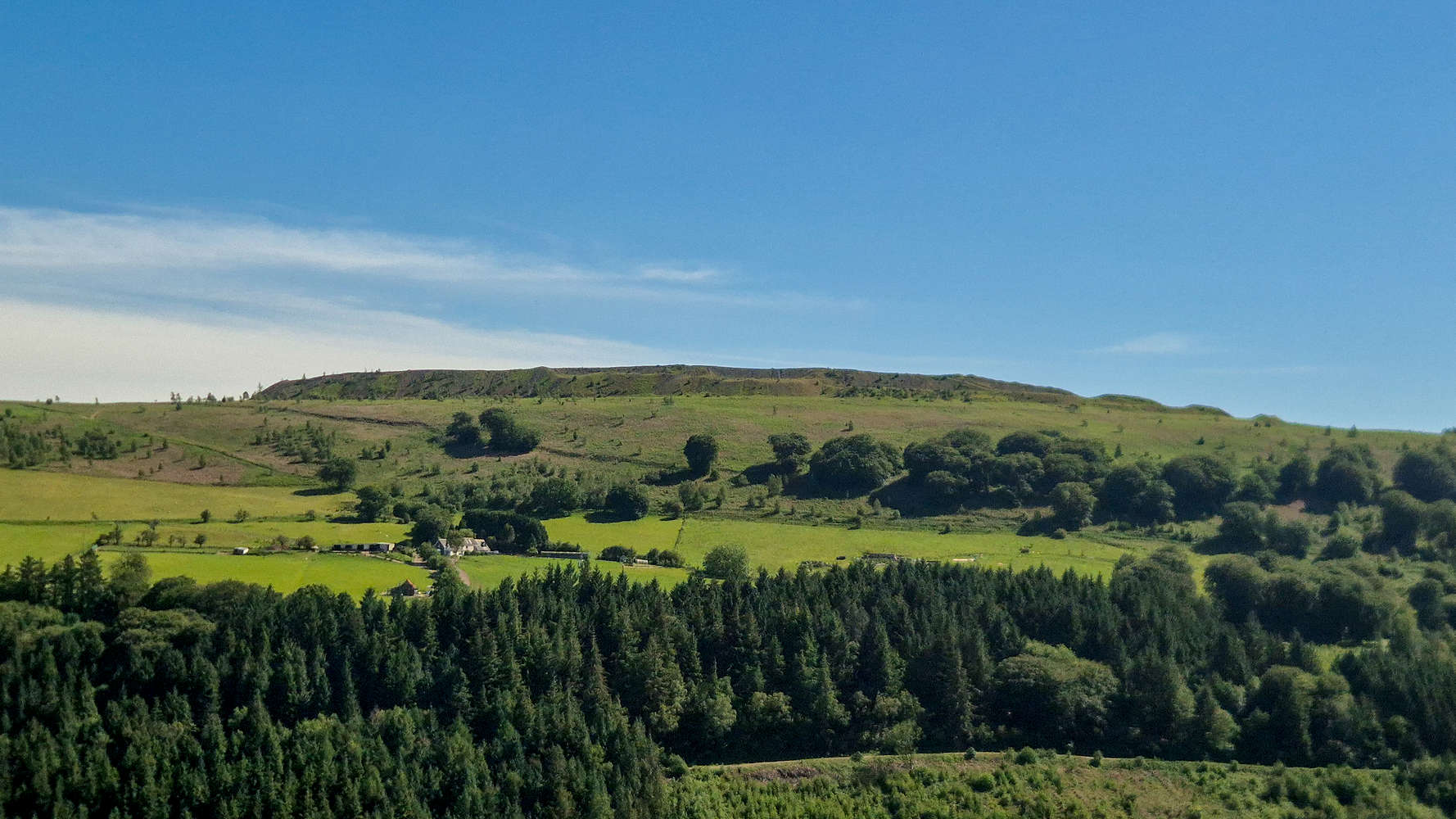
The summit of Mynydd y Grug (375m).
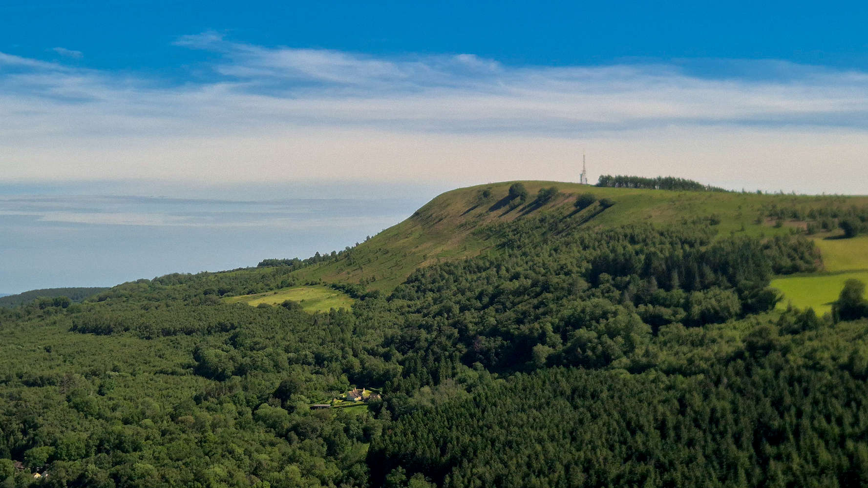
Mynydd Machen (362m) with its steep slope.
Curiously, it was not Grug, but Machen (363m) which was once considered the overall Marilyn summit. However, extensive earthworks on the summit plateau increased the summit height of Mynydd Grug (374m), above that of Mynydd Machen. It was only in 2025 that editors of Hill Bagging (co.uk) formalized the peak’s status[1], following extensive LiDAR and GPS measurements. Trethomas itself was originally built between 1900-1913 as “Thomastown” to serve the needs of the Bedwas Navigation Colliery Company, which operated a colliery above the village up until the Miner’s Strikes of 1984-85; several accidents took place at this mine during its operation[2].
Mynydd y Grug (374m) would go on to be my 100th peak/point! It was done in my preferred style of: solo & eco-point.
Route
During the pre-trip planning phase, the obvious combination of Mynydd y Grug (374m) and Mynydd y Lan (381m) as a circular via Crosskeys, was seriously considered. The spur of the moment decision to possibly go to Crosskeys just for Mynydd y Lan (381m) could not be ignored, so The Grug (374m) would be left for another day. From looking at maps, the clear lack of direct routes on the North was concerning, and as such I opted for the South side direct, starting from Trethomas and possibly missing on some countryside ambiance. The descent would then be done via Sirhowy valley and I would return by train from Crosskeys. It also happened that Trethomas has a good bus connection to Newport.
By 10:30 I was standing in the wind, cold, and drizzle, characteristic of Welsh summer at the square at Trethomas, only slightly questioning my decisions. The slopes of Mynydd y Grug (374m) rise over 300m from the village and were shrouded in thick clouds; soon I hoped I would be joining them. Crossing Newport Road (A468) I got onto Navigation Street which I followed to its end, before turning into a wide lane and continuing on as Ty-Canol Lane (T0). At just around 100m and after just 10 minutes, the old mine-pit of the Bedwas Colliery is reached, and while its surroundings can best described as a landfill, the vibrant blue of the water felt both eerie and inviting.
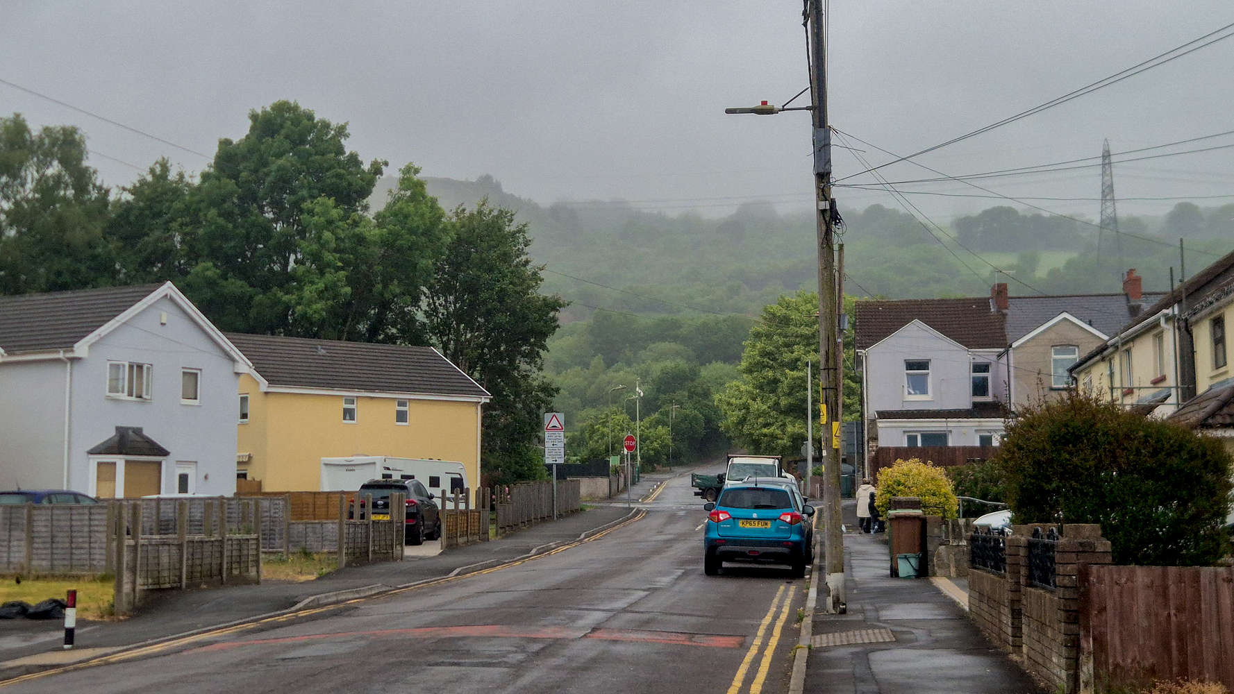
Mynydd y Grug (375m) in the clouds above Trethomas.
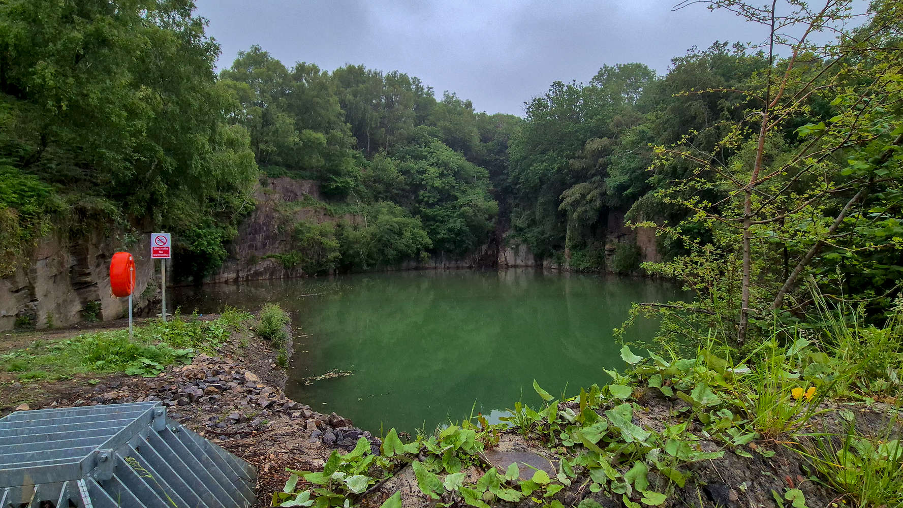
The Bedwas Colliery mine pit.
This was only a short stop, and I continued on Ty-Canol Lane which steepens and narrows gradually over the next 100m of elevation gain. The intermittent drizzle and thick forest canopy close to human habitation meant that the tweeting of birds was near deafening at its lower sections. An on-the-spot audio recording revealed Chaffinches (Fringilla coelebs), Tree Pipits (Anthus trivialis), European Robins (Erithacus rubecula), and Common Wood-Pigeons (Columba palumbus). Towards the end of Ty-Canol Lane, as it steepens to a unreasonable 15° degrees (T1-), I seem to have again startled a large Great Spotted Woodpecker (Dendrocopos major). From the bus stop, it took me a total of 15 minutes to gain the ~130m to the end of the lane, and with the rain picking up, I took a leisurely break under a very large wide-leaf tree by the Berth-goch farm, enjoying a yoghurt and a soda.
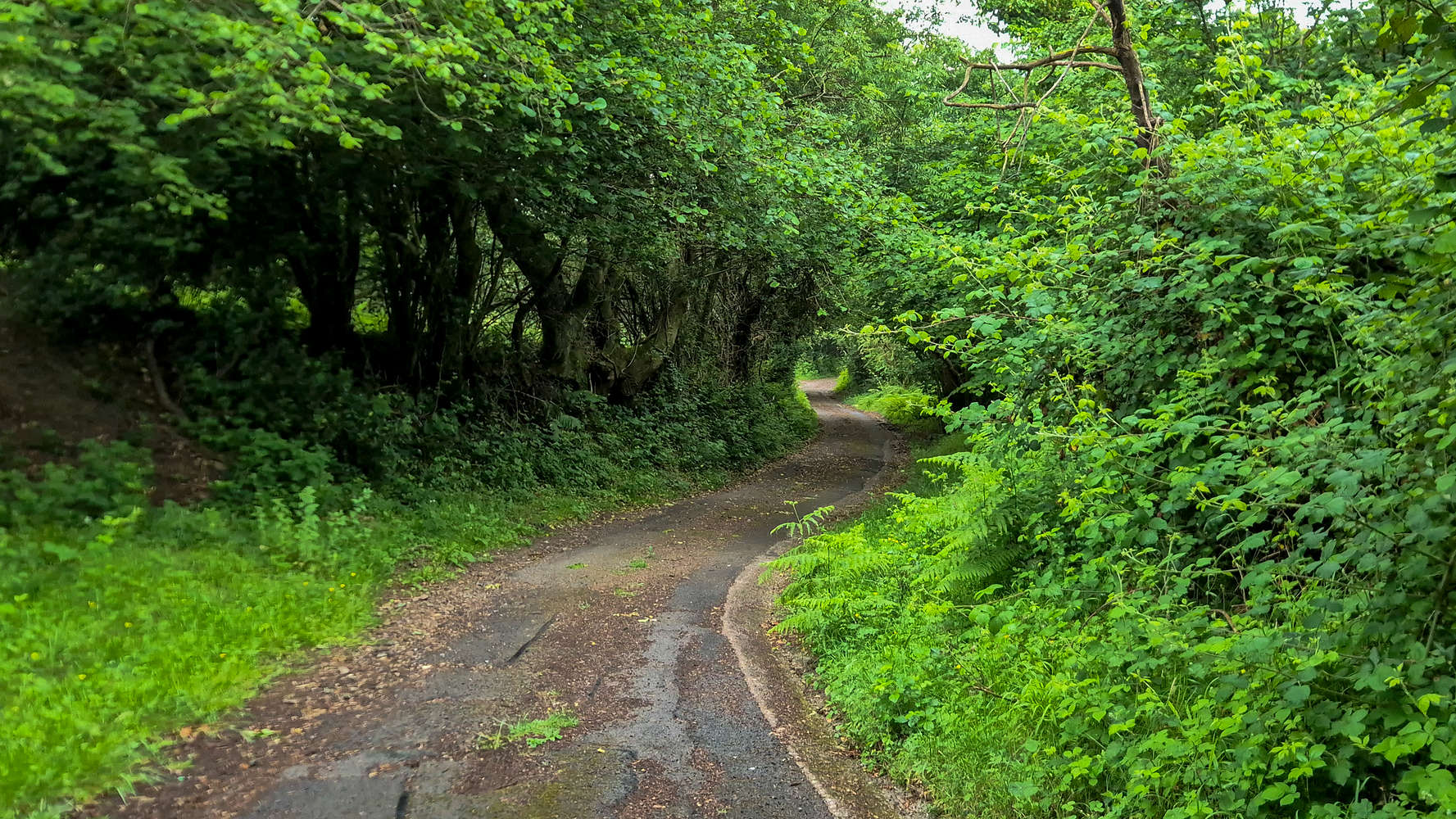
The winding & steep Ty-Canol Lane.
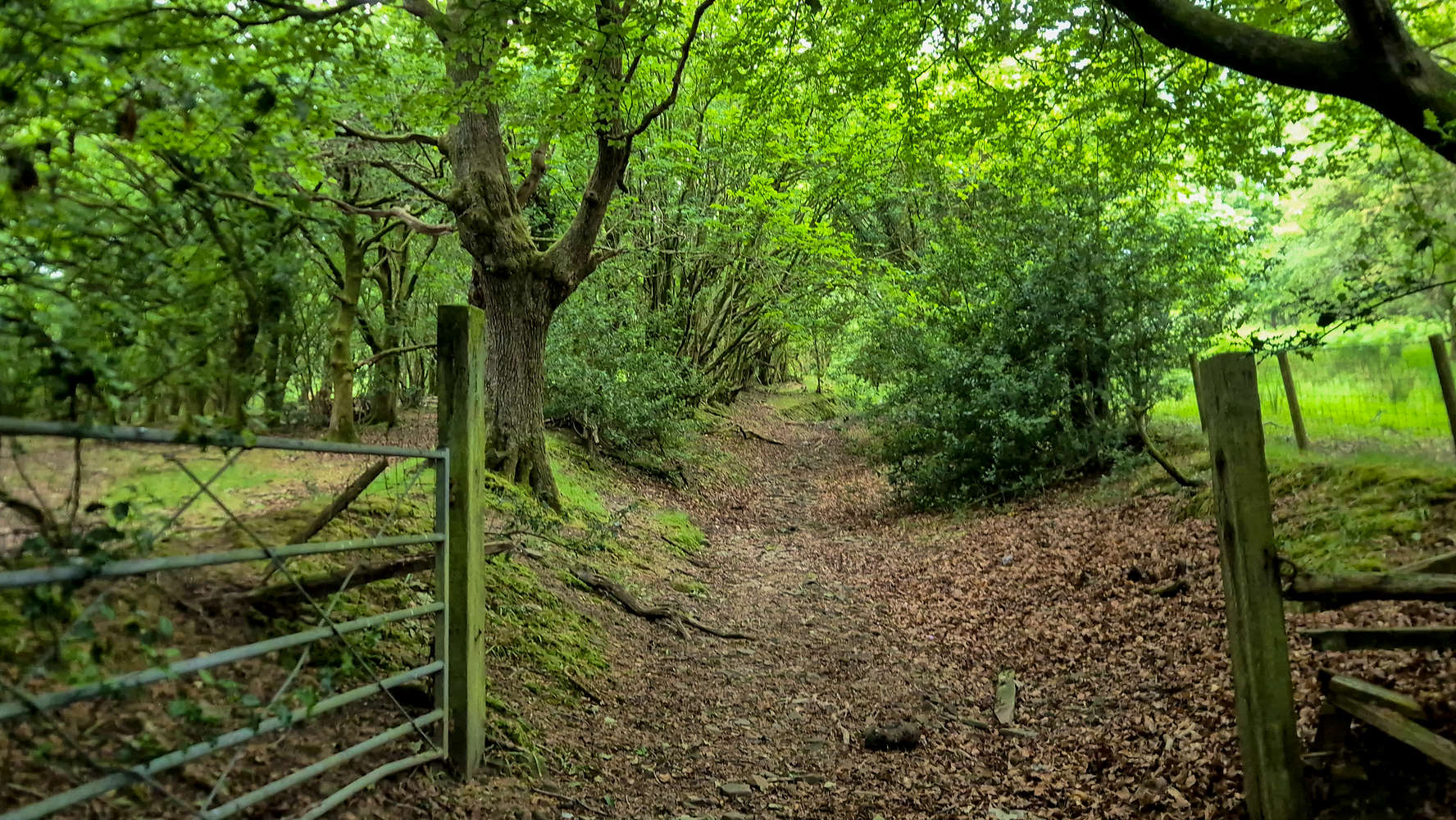
The gate for the ‘trail’ part of Ty-Canol Lane.
After about 10 minutes the rain seemed to have subsided, and some birdsong had returned, inclining me to continue onwards. The ‘dirt-road’ turned out to be a wide trail with little to no markings, initially following a small riverbed and then taking a right turn towards some open fields (T2-). Here the terrain stabilizes to about T2, with the ascent using well-travelled and rutted trails which ascend between plots of farmland. There were perhaps hundreds of sheep, all much more comfortable in the rain than I, who warned by the calls of Eurasian Jackdraws (Coloeus monedula) and Carrion Crows (Corvus corone) would turn around and stare as I passed. The open country and overwhelming silence punctuated with the occasional cawing provided a unique ambiance. By now the fog had well settled.
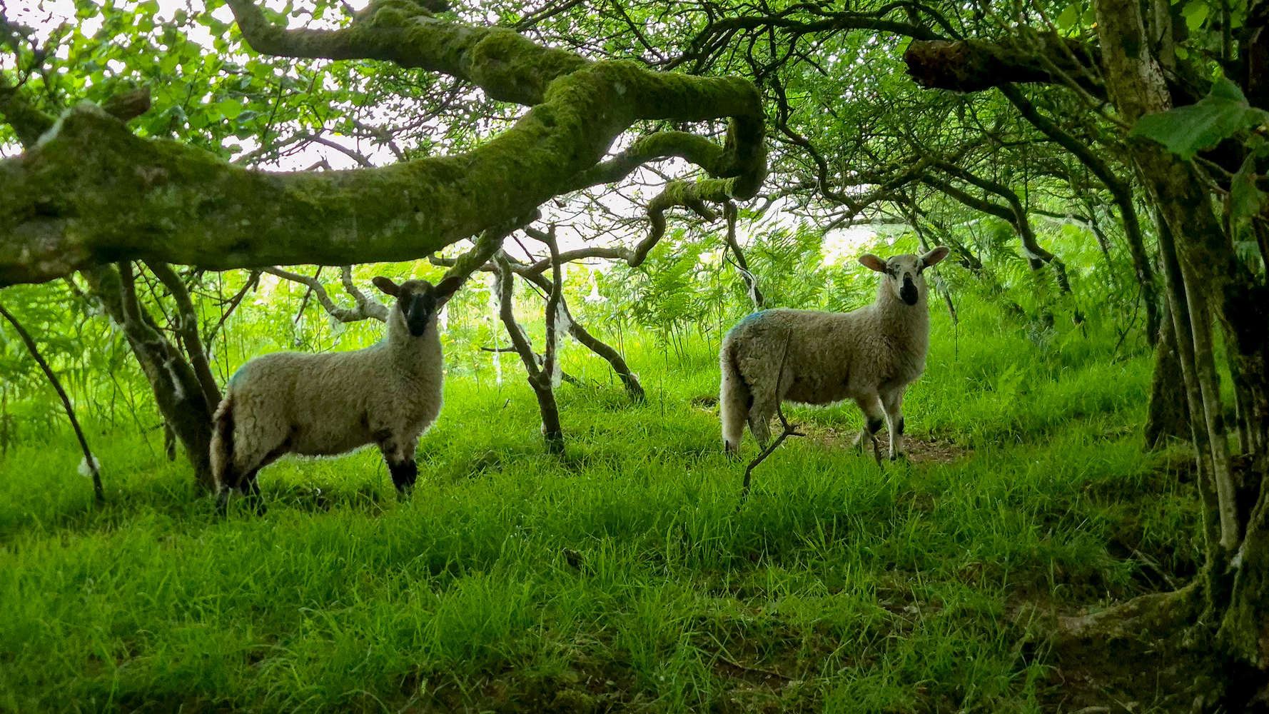
Startled sheep, with their distinctive color markings.
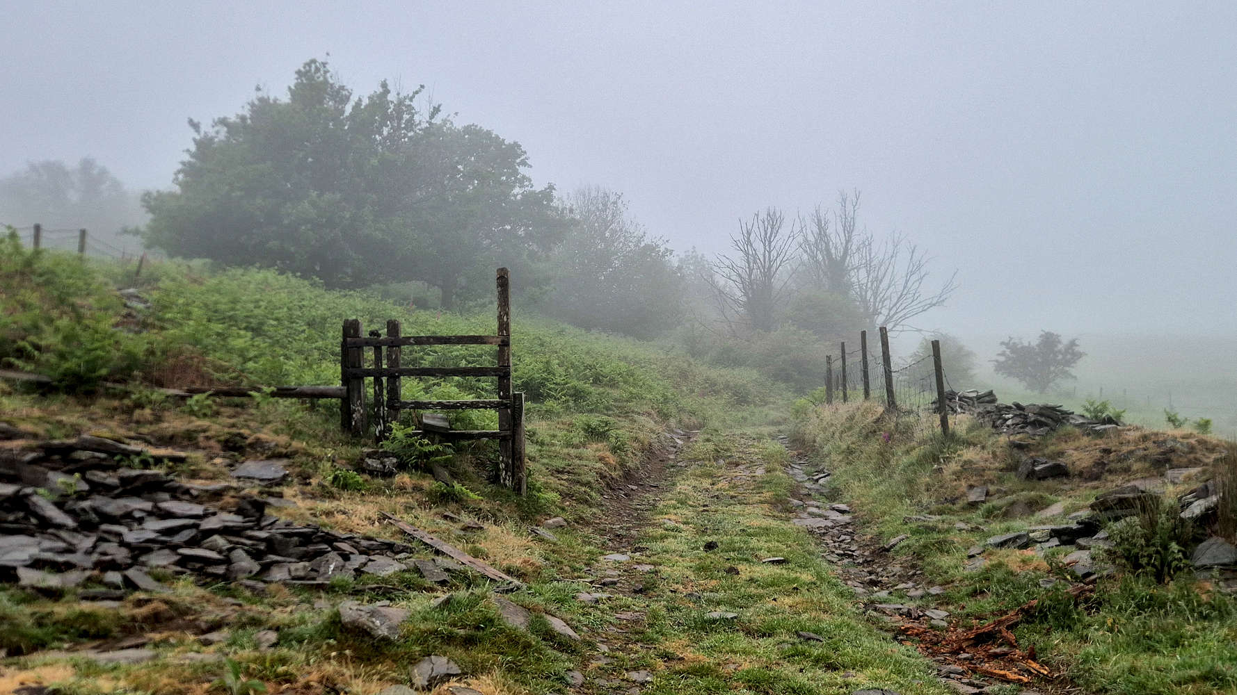
Feeling like a traveler in a foreign land.
My new Salomon shoes had so far withstood the tribulations of this trip, but as I quickly found out, were in no way waterproof. Nor was there any way to avoid soaking my feet at every step wicking droplets off the foliage. After a little while I gave up, hoping a wider trail or road up high would prove more pleasant. In fact it was, and these FSR took a slow winding path towards the Col., which I finally reached after a total of 40 minutes, it had not stopped raining.
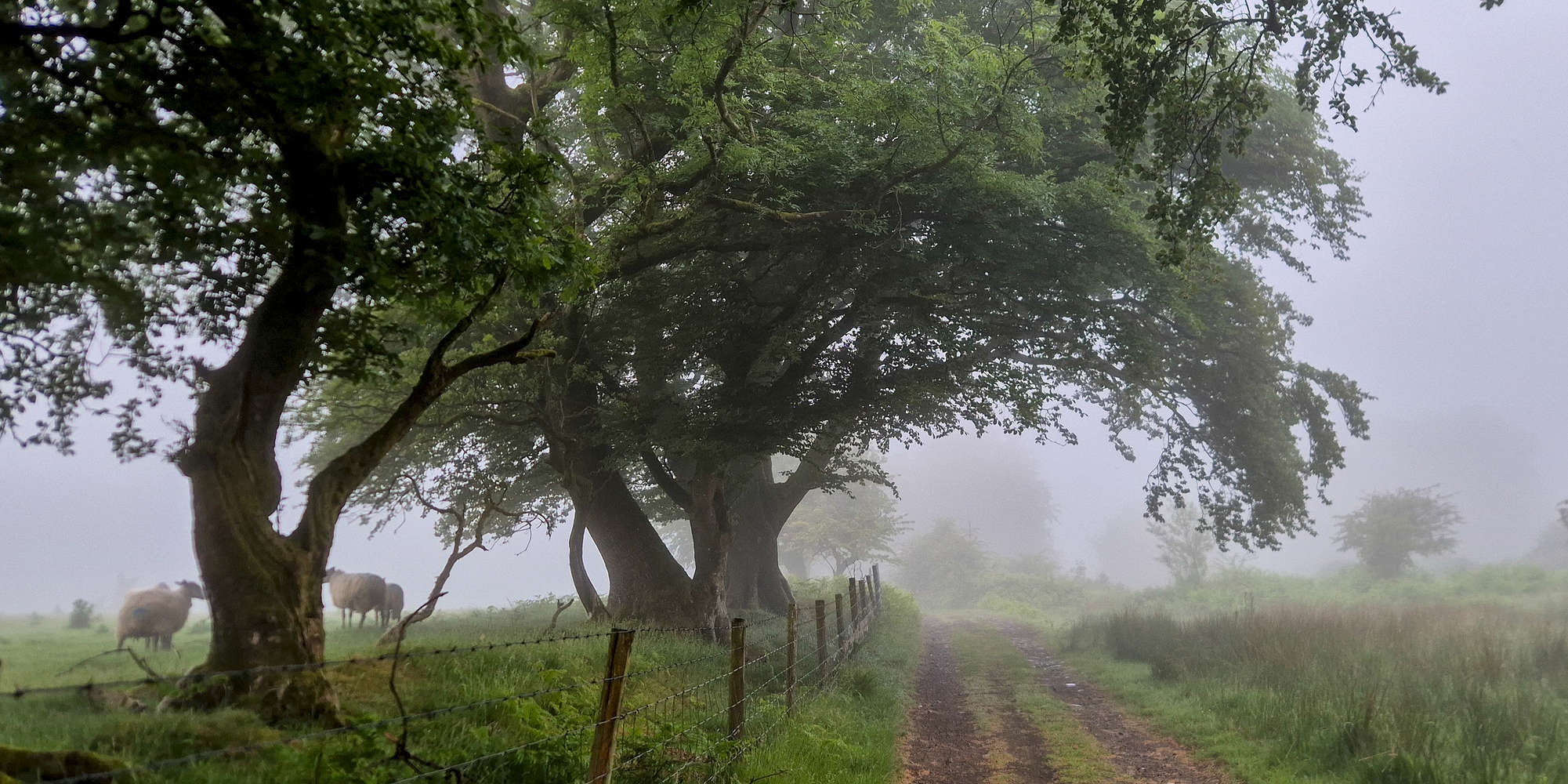
Approaching the Col.
Here I decided to cut the distance by taking a direct line up the spoil heap which is the summit of Mynydd y Grug (375m). It took me a bit to navigate, carelessly, over some large piles of dirt ‘blocking’ the slope ahead (T2). From here the ascent follows a scree-slope of the heap which is a fair bit steep and offered a bit of an athletic feel (T2+). Here the road is rejoined, and a path of choice through the vegetated last rung can be used (T2). On the ascent I found a rather dry patch and was happy to have gained the summit in a total time of 48 minutes. Although the barren, foggy, and man made flat-top of the summit felt desolate and eerie. The rain had stopped. I sat at the single wet bench for 10 minutes, listening to music, I hoped the descent would be more pleasant.
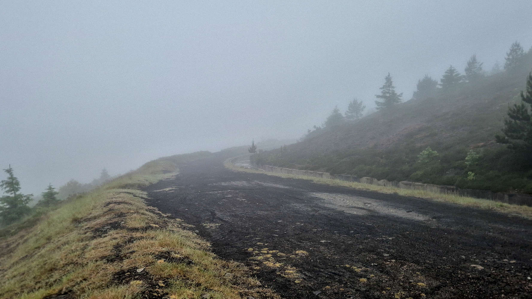
The access road to the summit.
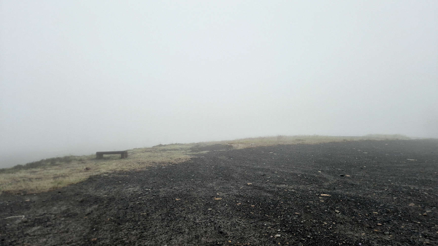
The perfect place to take a break!
Wanting little more to do with this waste-scape, I rushed back down retracing my steps, or almost. Picking the wrong line up-top meant some bush wrestling which resulted in me getting soaking wet. The scree slope went down better, and in less than 5 minutes I was down at the col, with improved visibility. From here once again I followed Ty-Canol Lane (T1+), along the ridgeline and with good views of Trethomas. Countless Skylarks (Alauda arvensis) and Wrens (Troglodytes troglodytes) and a single White Wagtail (Motacilla alba) were enjoying the now rainless day, and then, a few meters down descending into Graig Goch, a sound like a camera shutter stopped me at my tracks. It took me a good minute to realize I was looking at two European Stonechats (Saxicola rubicola). I entered the Graig Goch woods after 15 minutes from the summit, and was at once consumed with the beauty of this walk.
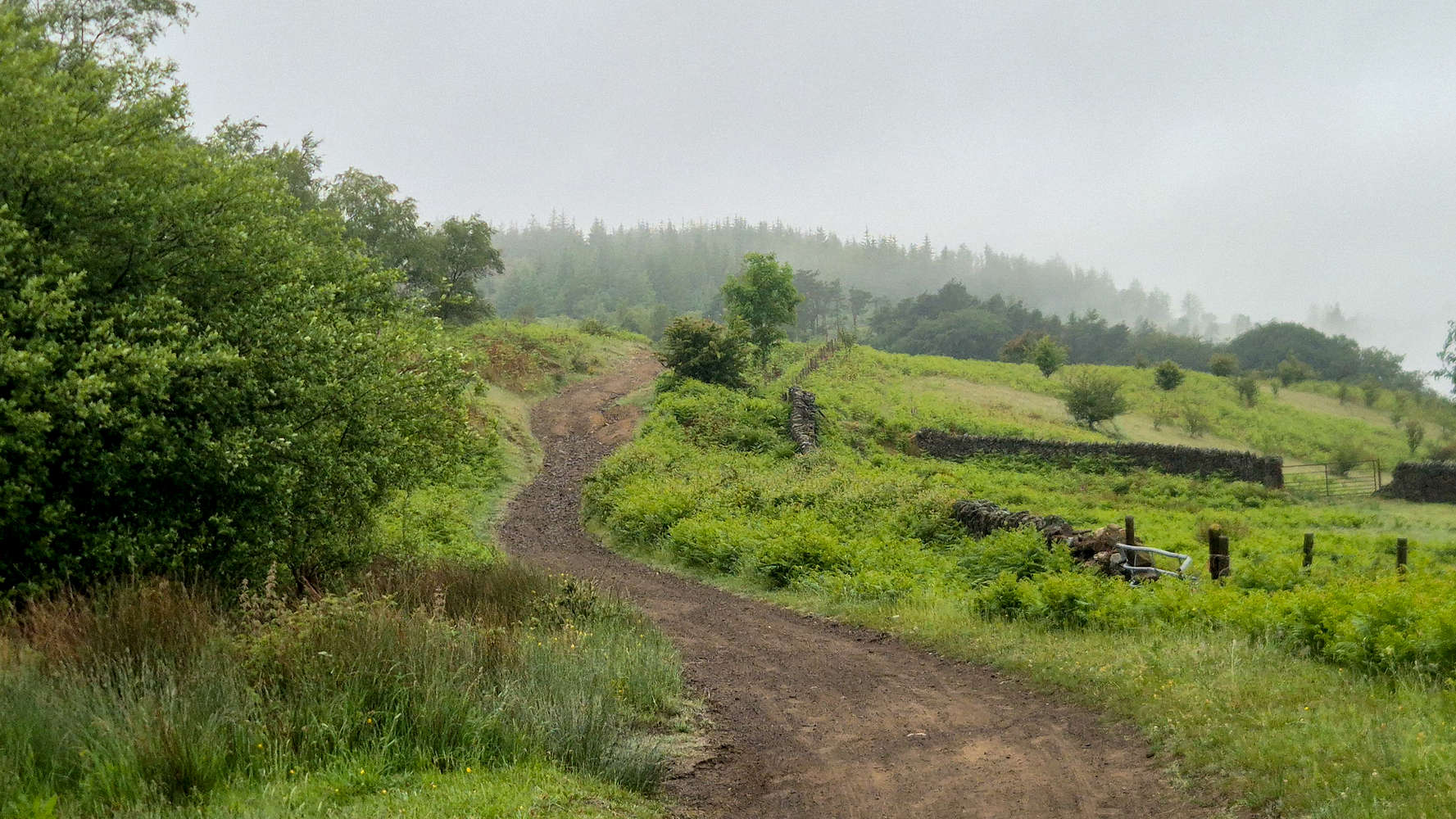
Ty-Canol Lane along the ridgeline.
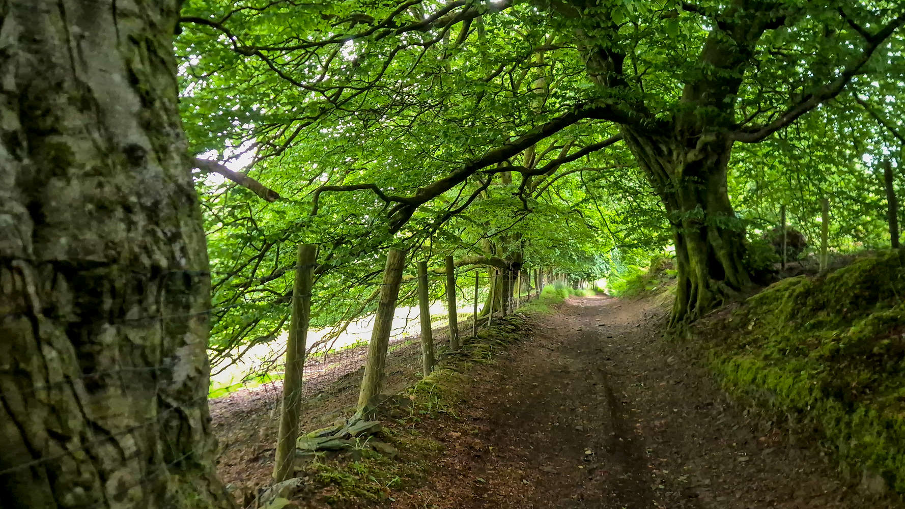
Incredible forest trail in Graig Goch.
The forest seemed endless, and its canopy everchanging, yet omnipresent. Old growth trees lined the hillside and hosted many more birds, much of the same. On occasion they grew alongside retaining walls, old pens, and large brickwork structures of an unknown purpose. Absent of any views I found myself entranced with its details, but only after 10 minutes it is replaced with an equally overwhelming forest of firn and lower tress. The trail deteriorates slightly as it steepens towards Blackvain Mountain Road, but presents no special challenge (T1+). In fact I was unwise enough to run down it in wet socks, inadvertently causing massive blisters!
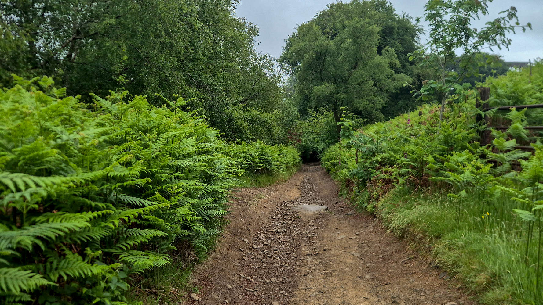
Somewhere in Graig Goch.
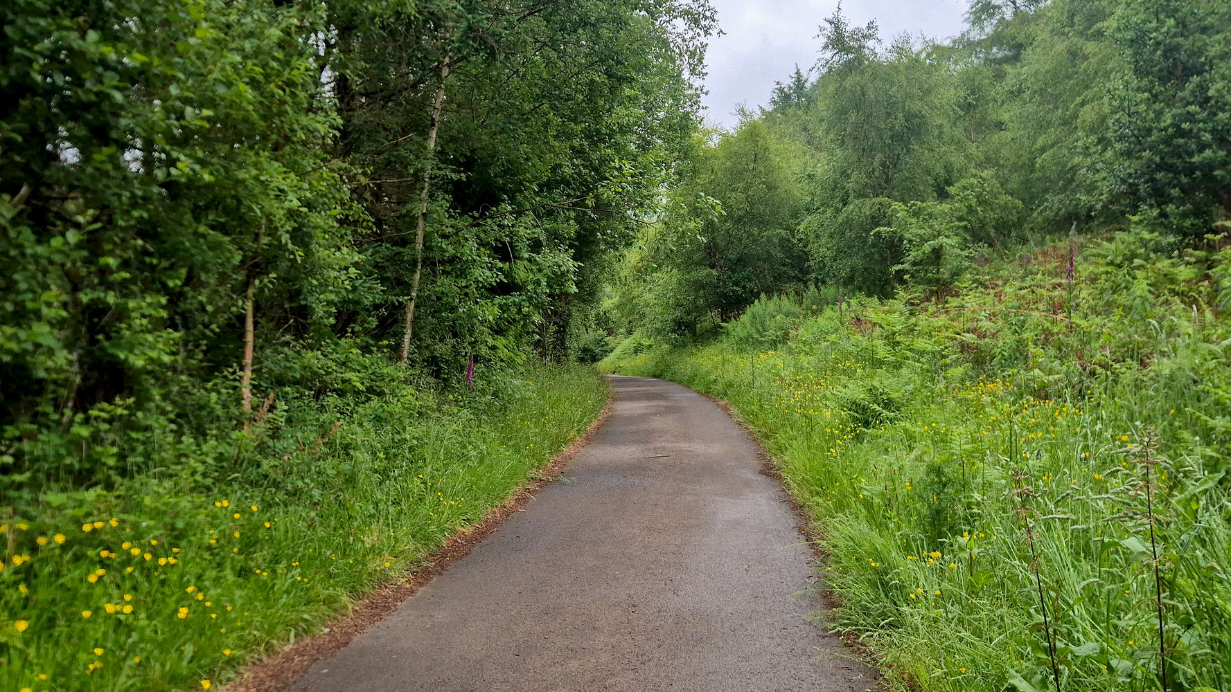
Descending Blackvain Mountain Road.
After a total of 30 minutes, I joined Blackvain Mountain Road at 230m, and continued a little on tarmac for the approach to Crosskeys. I didn’t stay on it long, veering left on a horse trail down towards Coed John-Hywel which alternated in quality (T1+). Avoiding the dirt-road of Coed Rhyd-fraith I continued into a well hidden trail entrance and began traversing the lower part of the wood. Here the terrain got rather difficult with certain sections requiring special care, with loose pebbles, running water, and a rather narrow walk way (T2). I once again decided to run and in less than 10 minutes I reached Sirhowy Country Park.
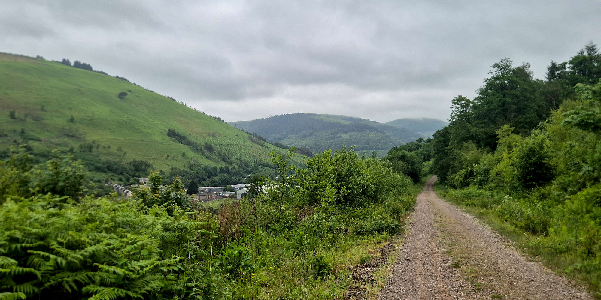
Mynydd y Lan (381m) and Twmbarlwm (419m) from Coed Rhyd-fraith.
At Sirhowy Country Park I followed the ‘walk’ which runs alongside the Sirhowy river for quite a bit, and on a nice tarmacked surface no less (T1-). It was difficult not to take my time through this part, making most of the limited river views. Near the overpass at the end of the walk, a bridge offers great views of the Sirhowy river. I walked into the village of Crosskeys and headed towards a park, where I could change into dry socks and eat something before taking the train back to Newport. The outing had lasted just 2 hours, but in the sheer dampness of it all, it was time to head back.
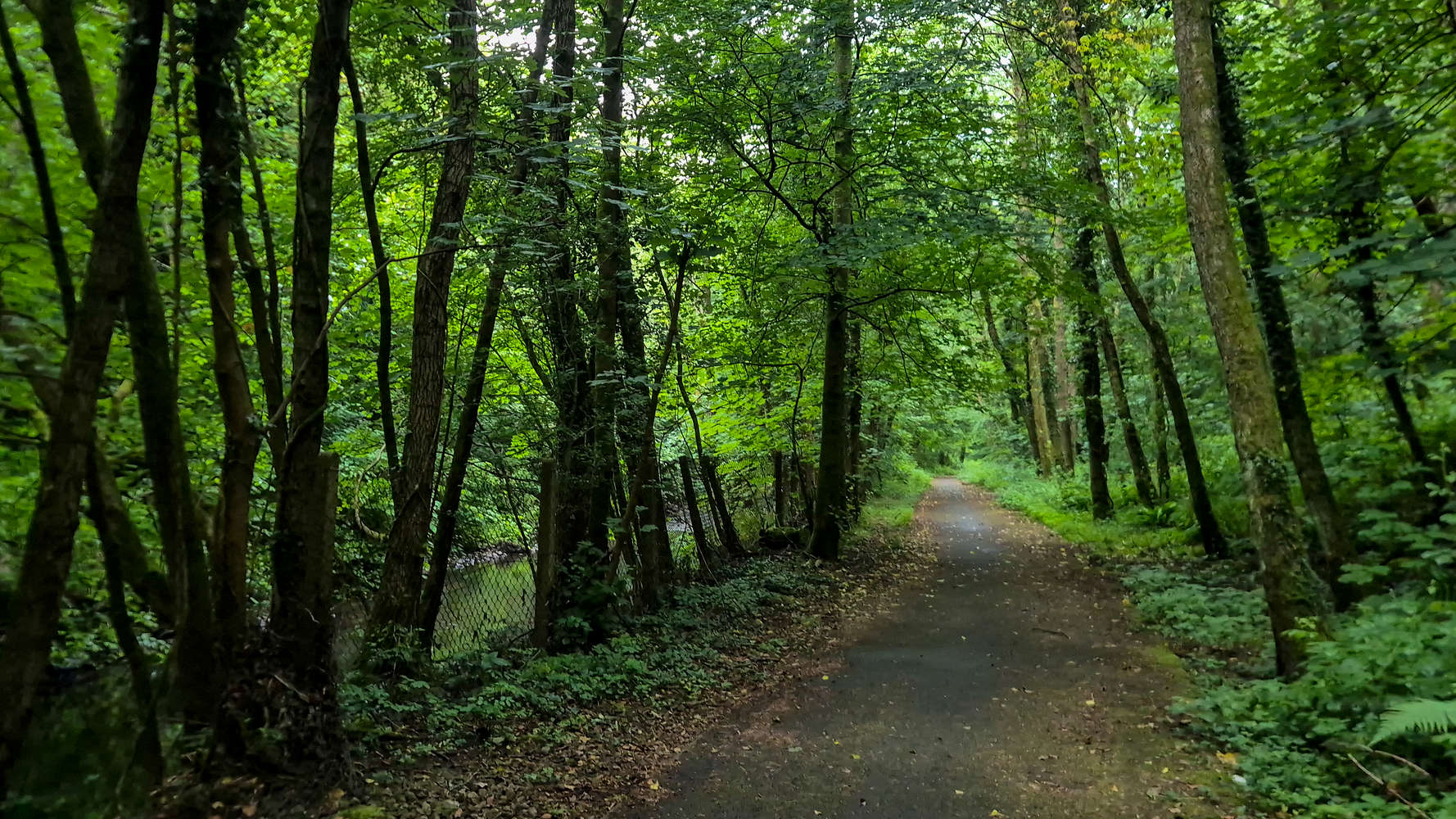
The Sirhowy Country Park walk.
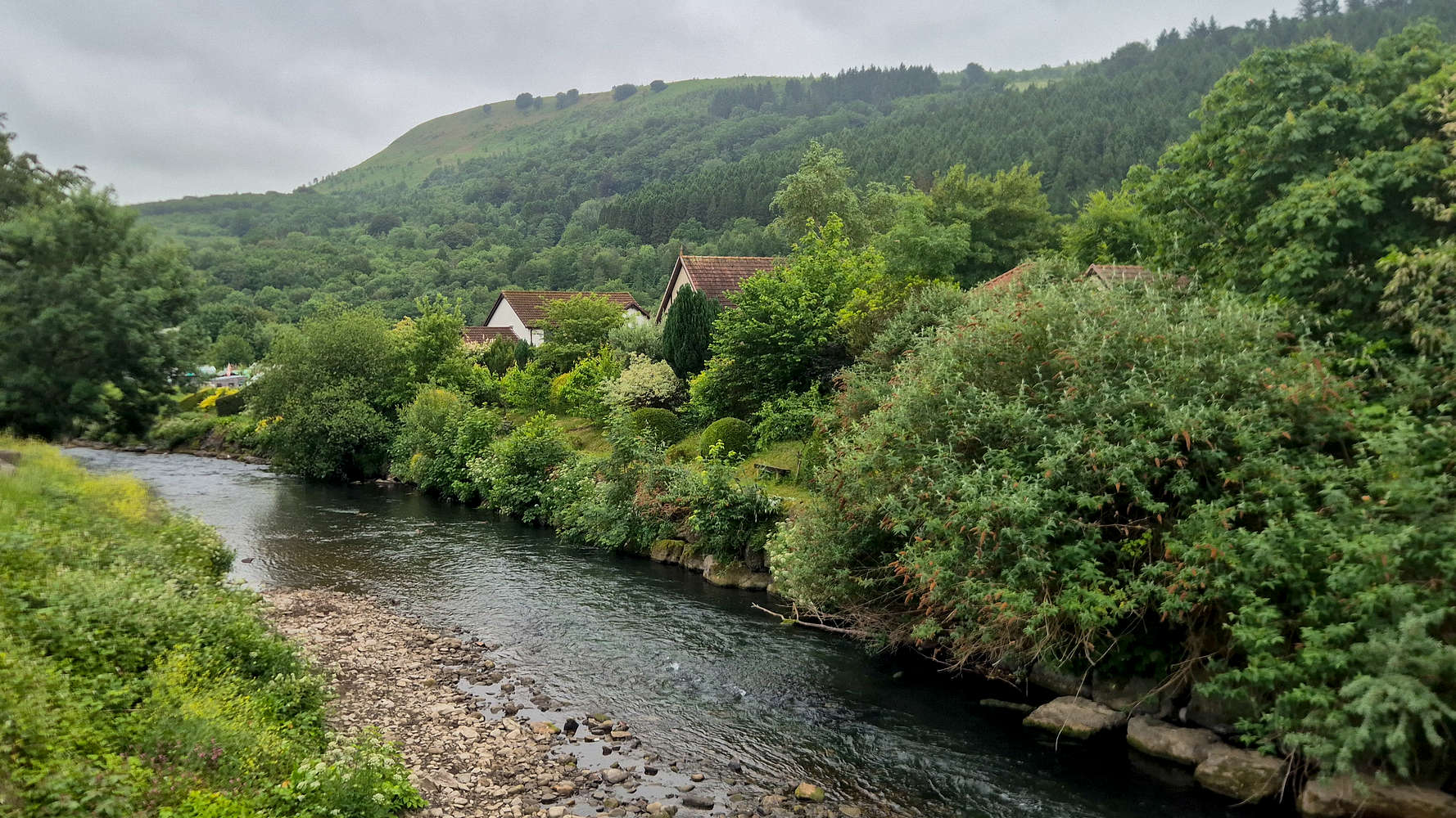
The Ebbw river passing through Crosskeys.
Interactive Map
Logistics
This was the fourth and final Marilyn for the South Wales May 2026 trip, and I once again went for my preferred style of a solo eco-point ascent from Newport.
Public Transport
I bussed into Newport central and walked to the bus station stand, expecting that under different conditions the 15 minute wait would be alright; but it turned into 30’ under the rain. With that behind us, no more than 30 minutes on the 50 Stagecoach brings one to Trethomas to start the hike. On the return I purchased a train ticket between Crosskeys and Newport online, and was lucky to make it down to the station only 20 minutes before the next train. The total cost for the return journey comes out to GBP 9.50.
Cost per Km: €0.78