Mynydd y Lan (381m) [P-221]
Summited On: May 29, 2026
Region: Crosskeys, Caerphilly, Gwent, Wales, UK.
Rating: ★★☆☆☆
Partners: Solo
Overview
Mynydd y Lan (381m) [P-221] is a relatively steep and prominent Marylin in South East Wales, situated above the town of Crosskeys (Pont-y-cymer), in Caerphilly, at the confluence of the Ebbw and Sirhowy rivers. Although small, it is one of the highest peaks so close to the sea in the region and offers spectacular panoramic views. At the base of the mountain is Cox’s Quarry, after which the park in which the peak belongs is named. Right above Crosskeys the hill rises 300m straight from the valley for one of the most impressive faces of sub-500m peaks in the Southeast Wales.
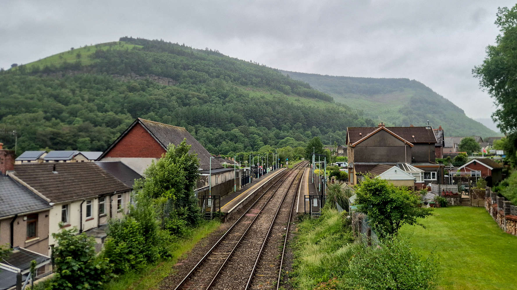
Mynydd y Lan (381m) from Crosskeys station.
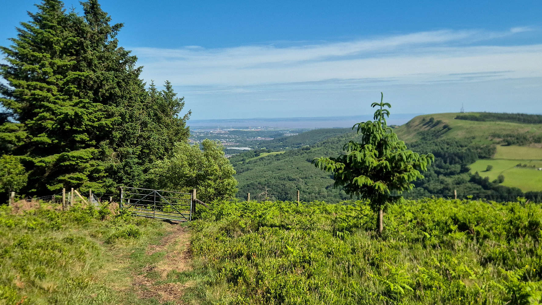
Expansive views to the Usk delta.
The name “Mynydd y Lan” literally means “mountain of the church” and refers to the parish of St. Tudor standing on the NW side of the summit plateau at 300m near the settlement of Mynyddislwyn with the site being used since the 5th century, and the construction of a Norman church during the 11th century. Above Crosskeys, the Cox’s Quarry offers a wide variety of climbing sport climbing routes on Sandstone, of primary difficulty in the VI and VII grades. Read more on the South Wales Climbing Wiki.
Route
The route choice for a lightning fast ascent of Mynydd Y Lan (381m) was obvious. The SW slope rises an impressive 300m from the valley and offers a near direct line to the large summit plateau. Knowing that Nieve and Izzy would not spend over an hour at Sirhowy country park, it would have to do my best to stay on pace. I expected a steep and direct slope ascent, and then decreasing steepness of traverses on a good trail; I was partially correct.
The heatwave was still ongoing that day and perhaps noon was not the perfect time for the endeavor, but alas it had to be done. Being dropped off at the Cox Quarry park gate I made great time on the FSR excitedly looking to what may be expecting me on the trail. Soon enough I made the left turn onto the ‘trail’ and initially found it in good condition. Exiting the forested section the trail quickly deteriorates to a wide but rocky mess (T1+). Then before too long the left turn for the direct ascent in reached.
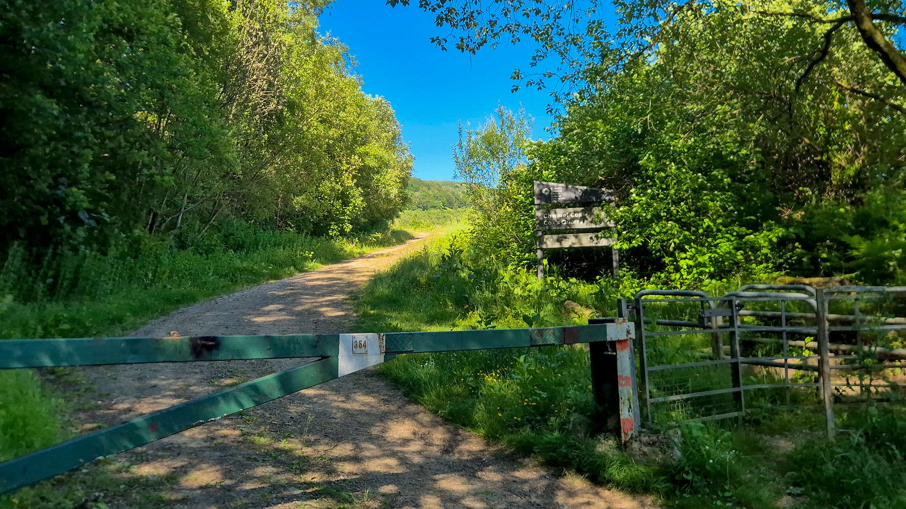
The gate to Cox Quarry.
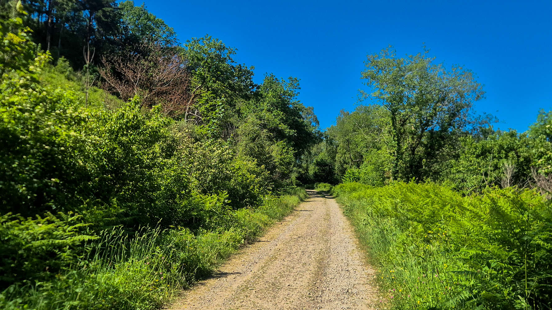
The FSR at the base of the hill.
A good 200m of elevation was to be gained on a narrow single track of loose dirt alongside overgrown firs. The slope is incredibly steep, consistently above 20° and at points as steep as 35°, and the hot and dry soil was not conductive to high speeds. The temperatures neared 28°C under the sun and with little wind I found in necessary to cool down every so often. My brand new Salomon’s were doing alright, although much of the steeper sections were doing with a front-pointing technique; a slip would not be good. The terrain was so steep and loose in fact that can only be compared in effort to a scree slope, deserving of a T3- rating.
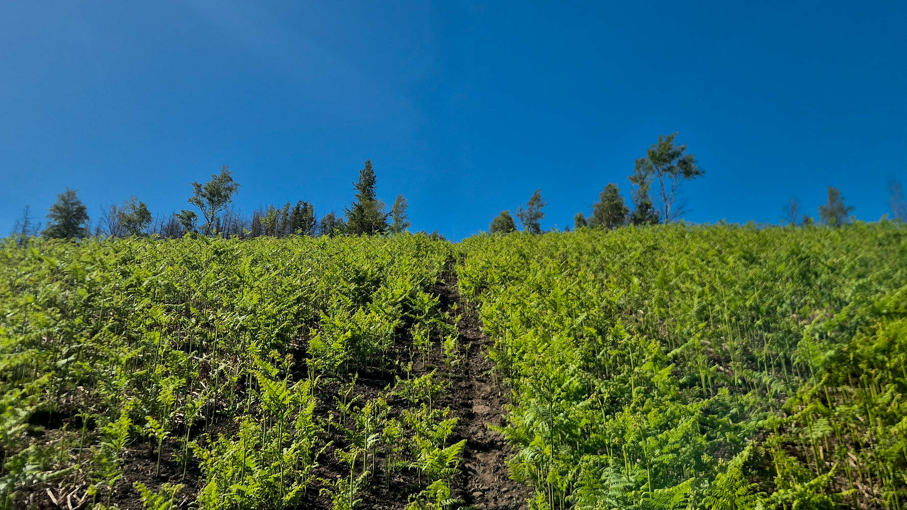
Direct means really direct in these parts.
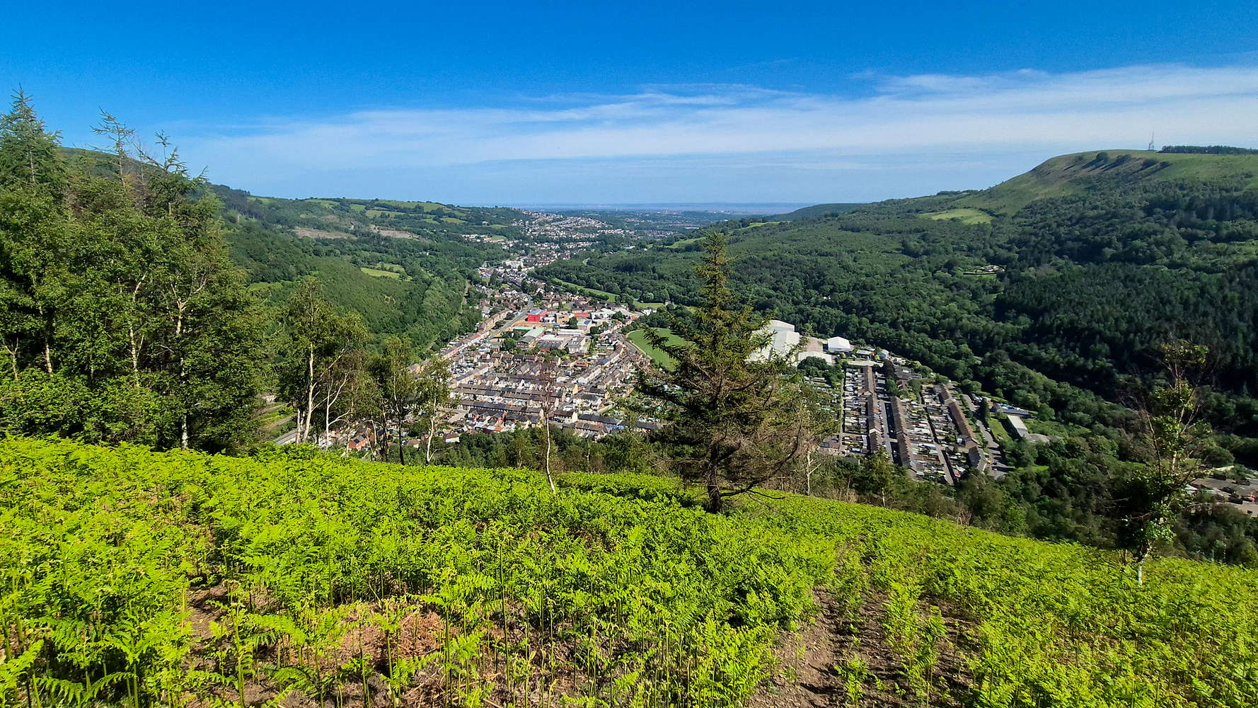
Looking down at Crosskeys.
It took me less than 20 minutes to reach the top of the slope, gaining 210m in the process. From here, a long arcing traverse going Northwest skirts around a fenced parcel of Fir forest. This is a pleasant break at T2- and offers amazing views primarily to the neighboring Mynydd Y Grug (375m) [P-204] and Mynydd Machen (362m) [P-113]. There was still little shade to be found, but the end of the traverse does feature a curious drystone wall, perhaps there was once a pen here.
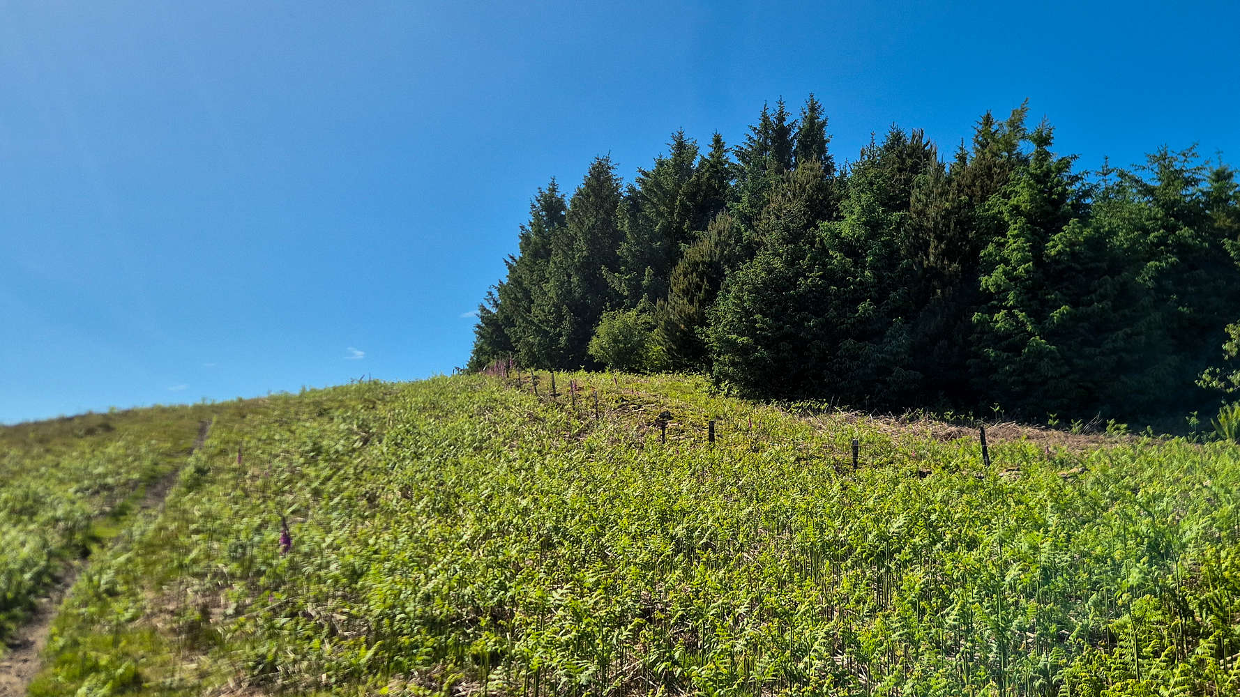
Traversing along the Firs.
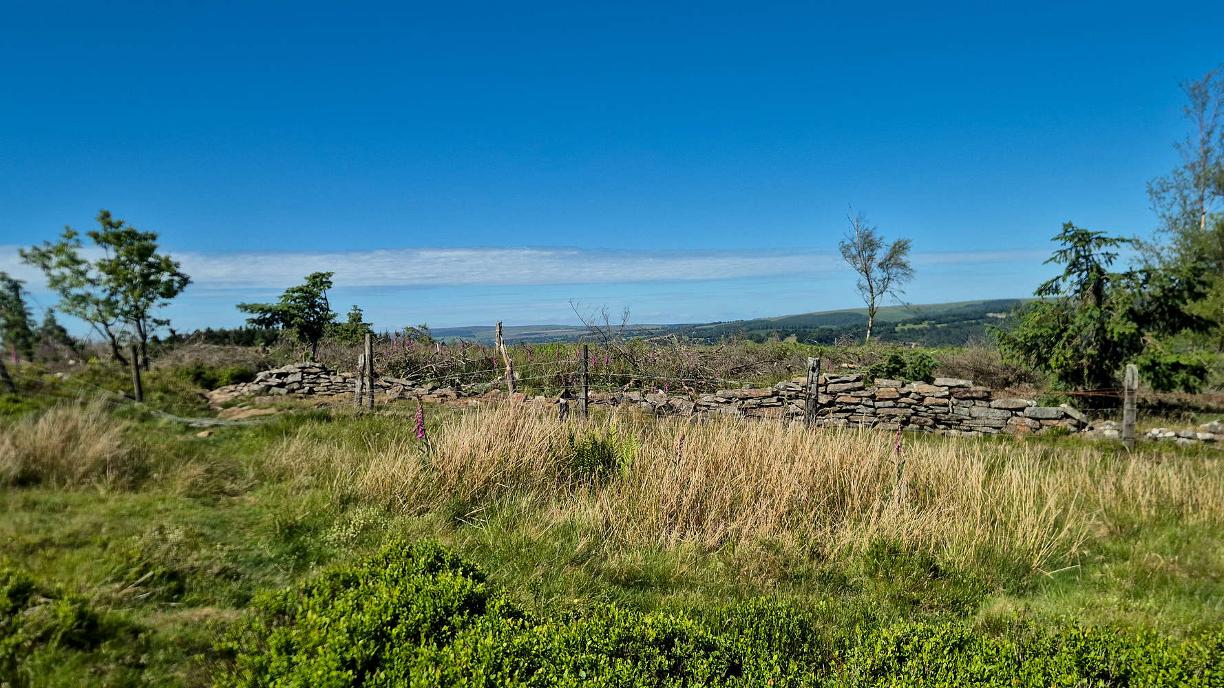
Drystone wall near the summit.
After about 25 minutes I was faced with a gate, which was luckily unlocked, leading onto the summit plateau proper. From here, the route is nearly flat and the trail easy (T1+) although sometimes boggy. The next 200m are perhaps some of the most aesthetic since the long north side of the hill opens up, offering expansive views to the north. I approached the summit cairn, faintly visible, directly, and sat next to it after exactly 30 minutes. I couldn’t help myself in sprawling on the grass and smoking a cigarette under the sun, listening to the melodies of the Eurasian Skylarks (Alauda arvensis) which live up here, as well as a single Common Chiffchaff (Phylloscopus collybita). I stayed for about 7 minutes.
Gate leading to the summit plateau.
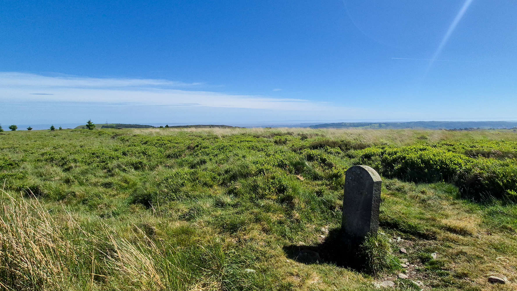
The summit of Mynydd Y Lan (381m).
Being out for nearly 40 minutes, I had to do my best to descend as quickly as possible, which was easier said than done. The plateau and traverse were dispatched with very efferently, posing little injury risk. In just 5 minutes I was the the top of the direct line. Here things became more delicate as any slip would certainly mean a serious injury, especially at the speeds I was descending. It felt as enjoyable and rewarding to gain and lose elevation so quickly. Avoiding any accidents, I made my way down the steep section and onto the peripheral trail in about 7 minutes. From there I could semi-coast back to the car, even taking my soaked t-shirt off to dry out. Walking down in the quiet midday heat I seem to have startled a large Great Spotted Woodpecker (Dendrocopos major) which flew across the FSR. I made it back to the gate as Nieve and Izzy arrived and just 54 minutes after I set off. Luckily for them I had a spare t-shirt with me.
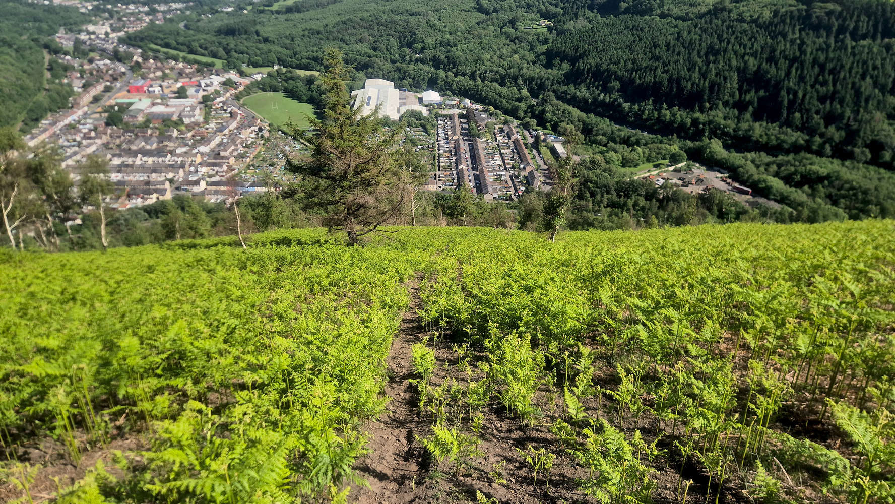
Looking down the South slope.
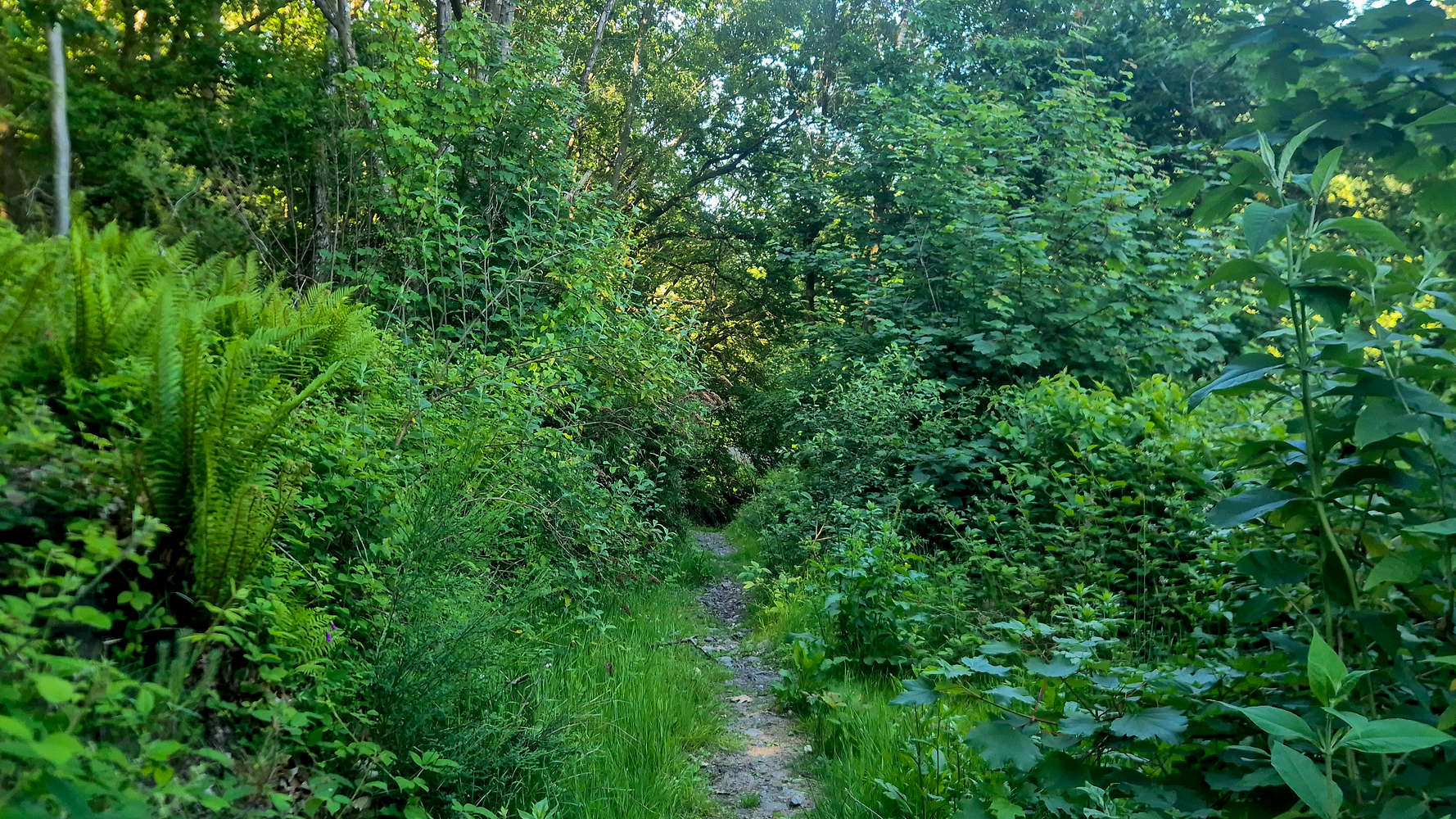
A short but refreshing section of forest.
Interactive Map
Logistics
This was the first summit of our South Wales May 2026 trip, and was made possible due to Izzy. We agreed that they would drive me to the trailhead at Cox’s Quarry (📍Google Maps), and would return to pick me up after about an hour, taking the time for a walk at the nearby Sirhowy Country Park. The drive to/from Newport is also rather simple and less than 30 minutes.