The Garth (307m) [P-211]
Summited On: May 31, 2026
Region: Taff’s Well, Cardiff, South Glamorgan, Wales, UK.
Rating: ★★★☆☆
Partners: Solo
Overview
The Garth (307m) [P-211] [”Mynydd y Garth”] is a prominent hill situated north of the city of Cardiff (Caerdydd) in South Glamorgan, South Wales, and due to its relative isolation is visible as far as Pen Y Fan (886m) [P-672] to the North and Weston-super-Mare to the South. The Garth (307m) is rather imposing, rising steeply above the town of Taff’s Well (Ffynnon Taf) on the river Taff, in the area known as “The Gap”, and hosting the picturesque Castell Coch. This Marylin is the highpoint of the Cardiff administrative region and is famously considered the location referred to in the 1995 film The Englishman Who Went up a Hill but Came down a Mountain.
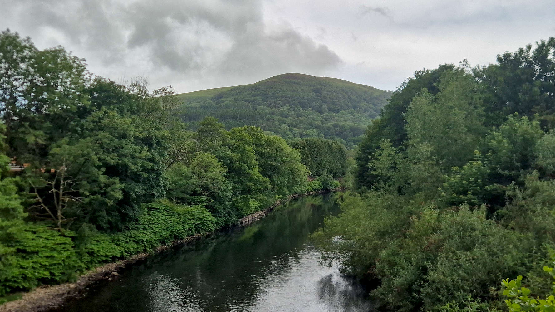
The Garth (307m) from Taff river bridge.
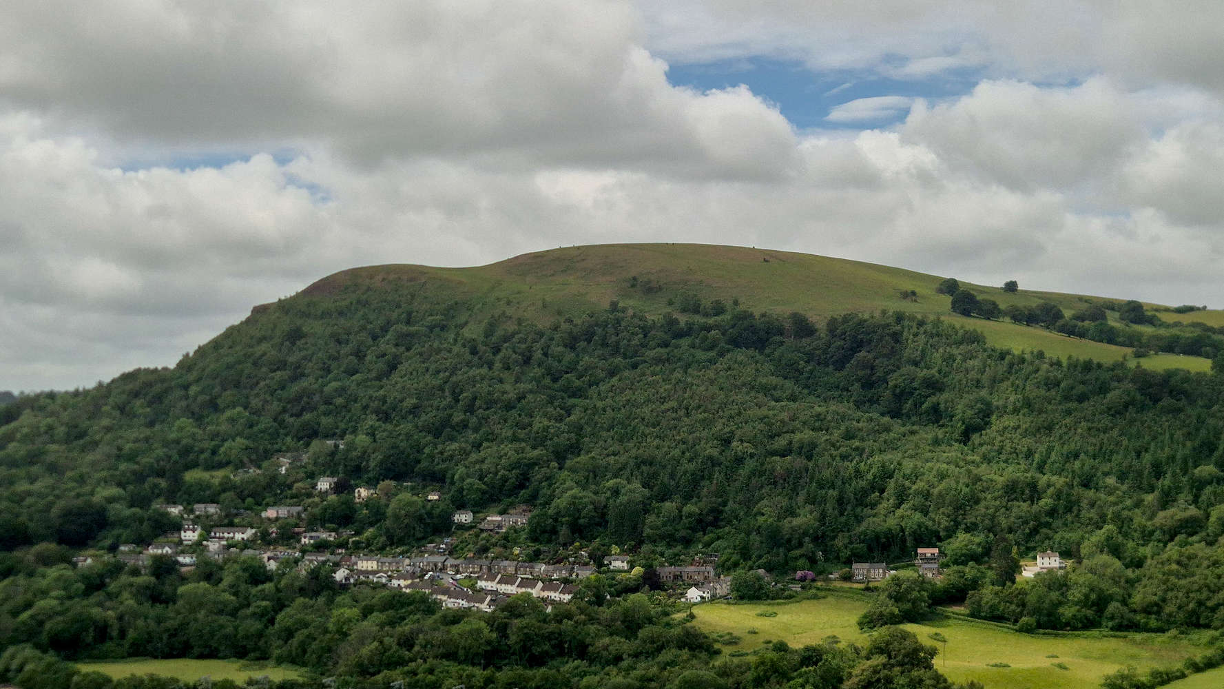
The Garth (307m) from Craig yr Allt (273m).
At the foot of the mountain, and above Taff’s Well is the Lan Colliery a coal mine in operation since the early 18th century which by 1875 was a substantial operation employing over 150 men and boys. On December 6th 1875 a coal barrier against old workings was breached resulting in an explosion which killed 16, the youngest of whom, Moses Llewellyn was only 12 years old[1]. At Taff’s Well itself, visitors can find Wales only thermal spring, which flows year-round at 21.6°C, and was a popular tourist attraction during the 19th century, but is unutilized today[2].
“ They take us from our cradles and work us to death ” — Lan Colliery inscription.
Route
The village of Taff’s Well which serves as the perfect access point for an attempt on The Garth (307m), with the route options being varied. Perhaps looking to summit Craig Yr Allt (273m) [P-154] on the same outing, I knew I would have to end on the North Taff Bridge, and well begin at the train-station. The route up the Southeast corner seemed to feature a small rock-band which I confirmed on Google Earth; liking the steep, and perhaps looking for a short climbing section too, it was an obvious choice.
After just over an hour on public transport it was nice to take in the quiet morning at Taff’s Well, the clouds making it feel earlier than it was. It was 10:20 and it seemed like no one was out as I walked through forested walkways among houses in my approach towards the start of the trail. I had noticed a set of diagonal trails (T1) leading to my ascent of choice, and soon found myself within a small forested section below Lan Colliery. I reached the old mine-shaft of the Colliery after 10 minutes.
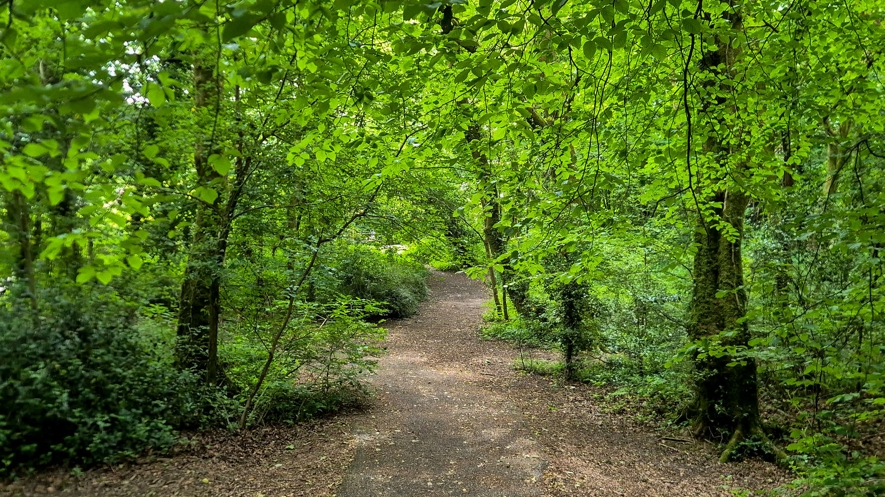
Lush forest besides the Taff.
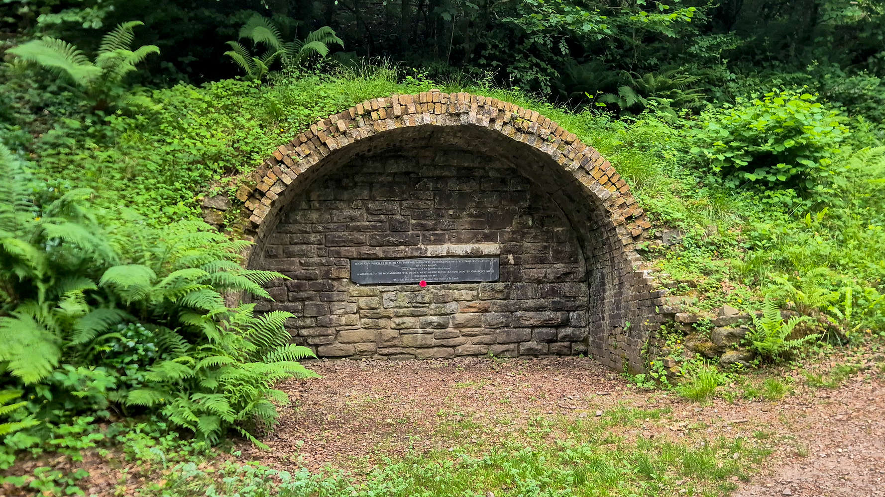
The old entrance to Lan Colliery.
After a short break to read the inscription on the blocked mine-shaft commemorating the events of December 6th 1875, and to look at the ruined buildings nearby, I continued across the Main Road, and rejoining the trail was quickly surprised to find myself within a lush forest of tall and thick Firs. The ground clearly a byproduct of human activity - as I realized too late, mining - was a vibrant red color, perhaps mirroring an imagined vision of the Redwood forests of California. Unlike the ancient woodland at Wentwood (309m) [P-243] this was clearly contemporary but equally if not more impressive. Certainly the resident Robins (Erithacus rubecula), Chaffinches (Fringilla coelebs), and Blackbirds (Turdus merula) seemed to enjoy the foliage. After just another 10 minutes the forest trail (T1+) is overcome, reaching the Route des Alpes lane following a leftwards traverse.
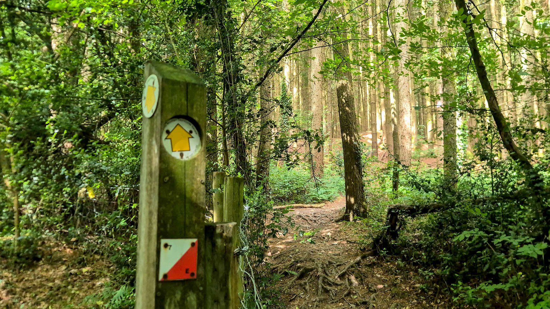
Intersection at the base of the forest.
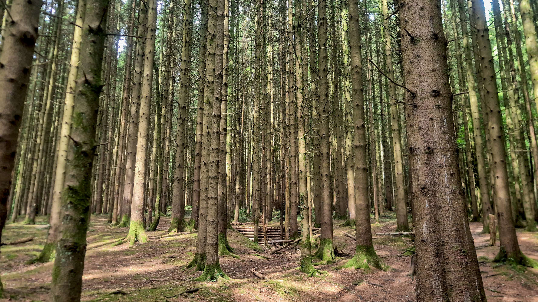
The forest of Lan Colliery.
From here the trail ascends a directly upslope between a couple of parcels of land, joining the trail that traverses the South foot of The Garth (307m), it is a good taster for things to come (T2). Taking a right at the traversing trail (heading ENE), a small ruin, perhaps that of a chapel is passed, before the foot of the SE ‘Ridge’ is reached. The real ascent begins here, gaining an immediate 60m of elevation an a steep grassy slope, similar to that of Mynydd Y Lan (381m) [P-221] (T2+). It is somewhat easier however on account of having a couple of switchbacks to decrease the intensity. At about 225m of elevation, the noticeable ‘Notch’, a sandstone escarpment is reached. I traversed below it, avoiding the trail in order to climb it. It can be avoided by following the trail at T2+ obl.
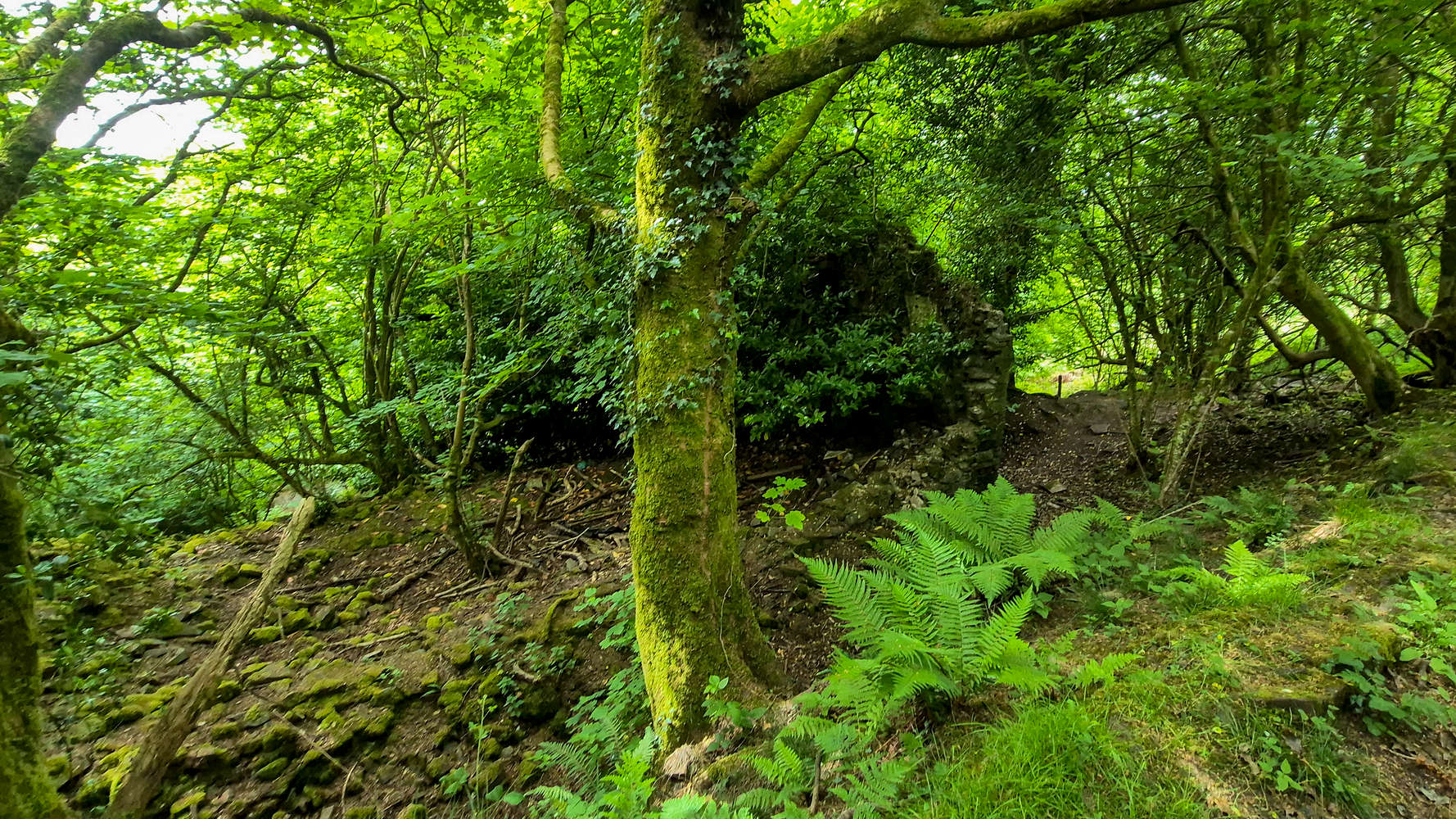
Some curious ruins below The Garth (307m).
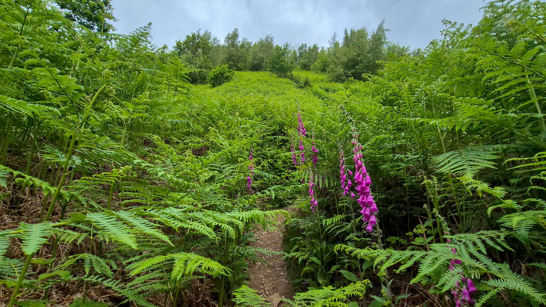
Overgrown firns on the SE direct.
Traces of a ‘sheep’ trail led away to the base of the small band of brown Sandstone, a unique rock type that offers itself to pleasant sport climbing. Wanting to find an airy but somewhat safe line, I traversed all the way right, and decided that climbing a double step (2m+3m) with a large ledge would be perfect. The climbing was easy (UK Class III) and the Sandstone with its fissures and edges was perfectly conducive to the task. I popped out over the escarpment running into a family hiking down and scaring some sheep.
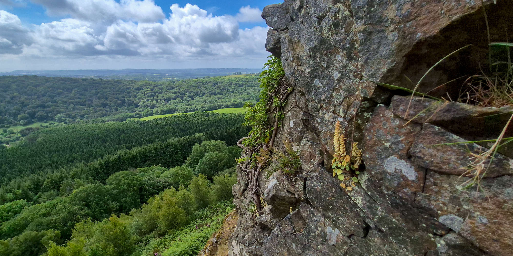
Airy position while climbing The Notch on The Garth (307m).
Here the terrain transforms to a long grassy and hilly plateau which I decided to tackle diagonally, continuing left (WNW) from the top of the Notch, and slowly approaching the main hog’s back. The time was almost 11:00 and the trail was busy with numerous groups, but mostly families, out in the lovely weather. The heatwave had slightly subsided and strong winds were helping keep things cool. After ascending onto the main hog’s back (T1+), I followed the straight trail to the summit tumuli (early to middle Bronze-age burial mound) passing by a large number of sheep, adding to the signature Welsh ambiance (T1).
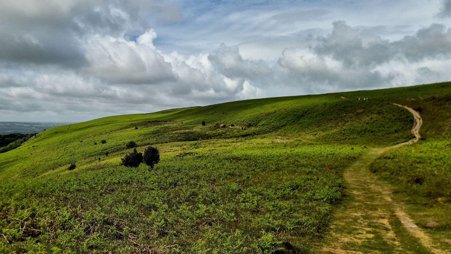
Ascending the hog’s back of The Garth (307m).
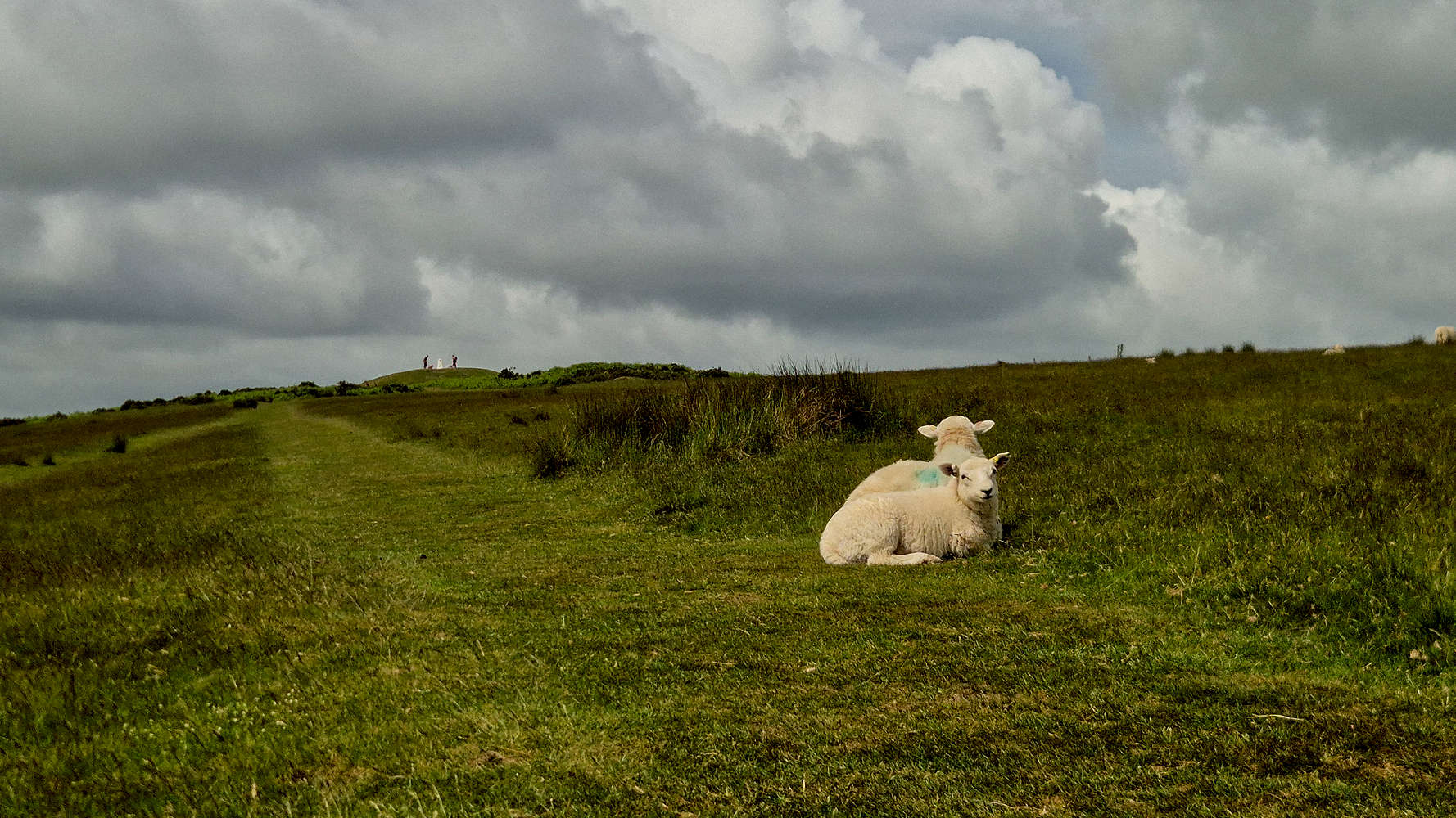
Sheep enjoying the breeze near the summit.
I walked up the pyramidal mound which marks the summit of The Garth (307m) after just 44 minutes from the Taff’s Well train station. The views from this summit were indeed exceptional, with Cardiff sprawling to the South, the lower valleys of the Taff to the North, bookended by the dark forms of the Brecon Beacons lost in the clouds. Down below The Gap, and the neighboring Craig Yr Allt (273m) [P-154] could be seen. It felt good to begin to know a new place so well. I snacked on my meal deal sandwich and relaxed, staying on the summit for 10 minutes before turning back along the hog’s back.
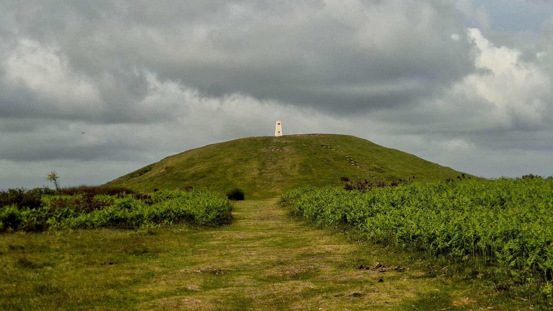
The summit Tumuli of The Garth (307m).
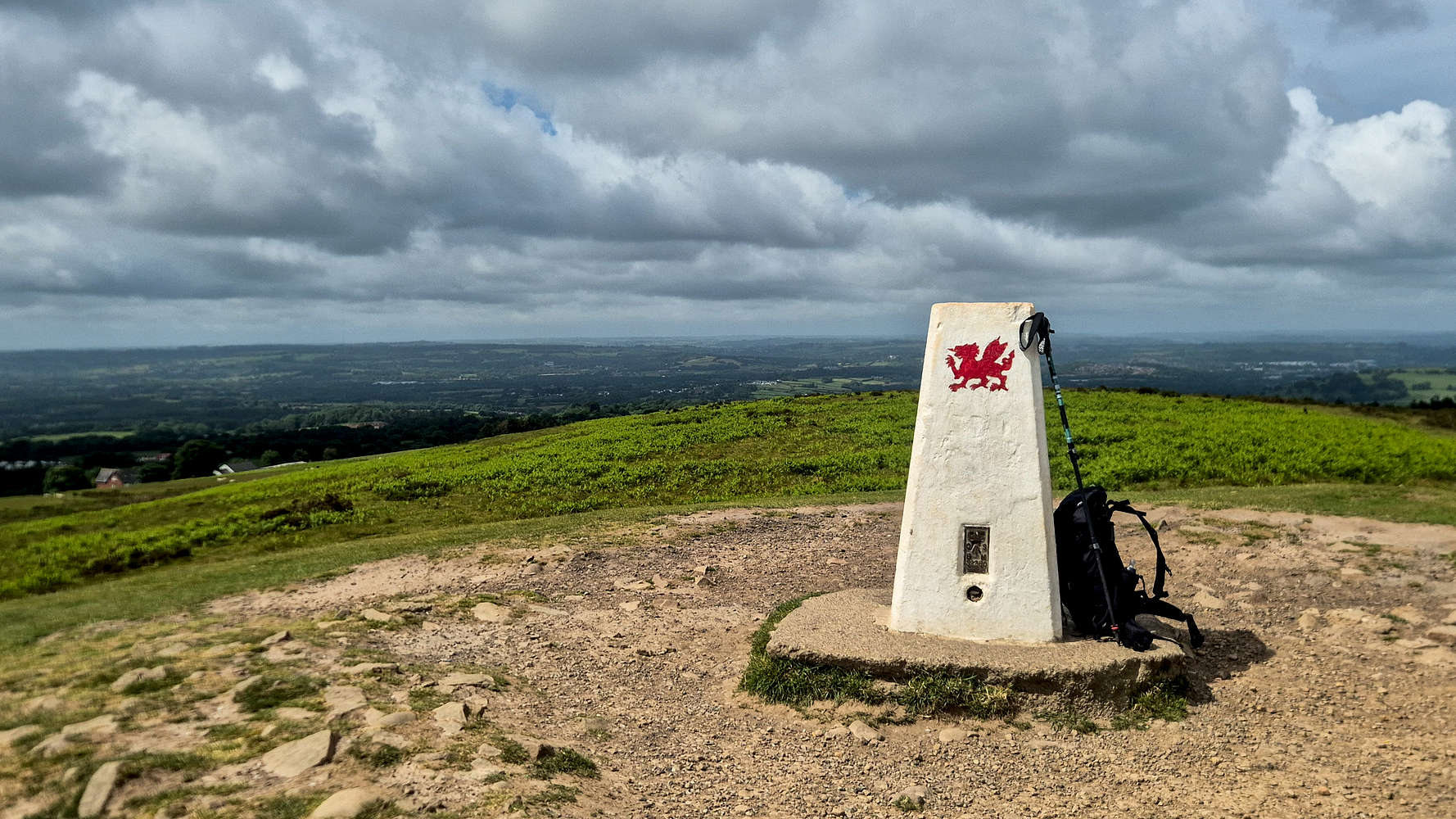
Looking WNW from The Garth (307m).
Down along the summit ridge it was impossible to ignore the incredible aerial position, even at such low altitude. The countless sheep grazing and laying on the grass seemed to think the same. Alongside them, plenty of Eurasian Wren (Troglodytes troglodytes), Skylarks (Alauda arvensis) and large Herring Gulls (Larus argentatus) could be spotted. Descending back down towards the Notch, a dog-walker was sitting on some steep edge or other overlooking The Gap in a beautiful display of its scale, he smiled as I took a photo. I reached the start of the steep dirt slope track after 10 minutes.
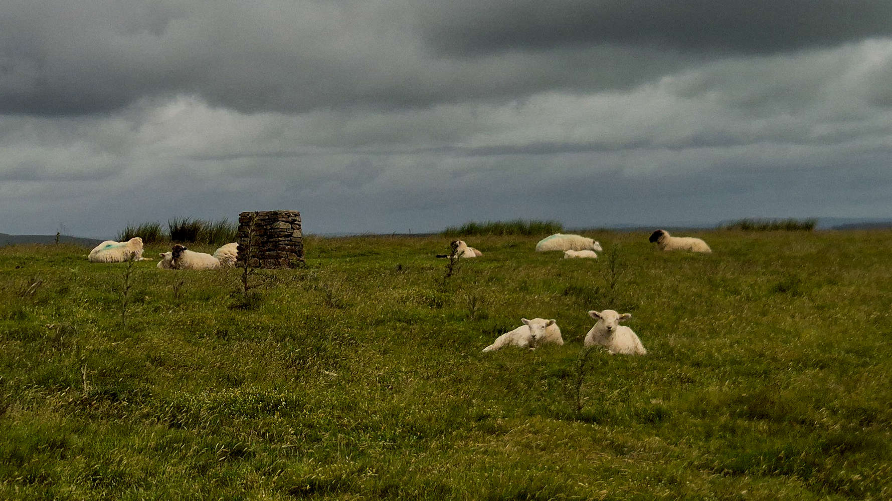
Sheep on The Garth (307m).
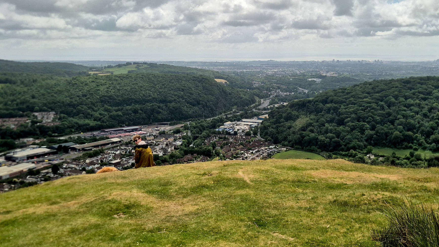
Dog walker taking in The Gap.
The lesser elevation difference of this slope meant that the descent could be done much slower without sacrificing time, so with patience it was dispatched rather safely, bringing me back down to the peripheral trail. Once again I would have to turn left and follow the traversing trail to the ENE. Back down in the forest, the lush beauty of the scenery was undeniable, and even better, the complex and winding trails would briefly bring me back into the Lan Colliery forest (T1+).
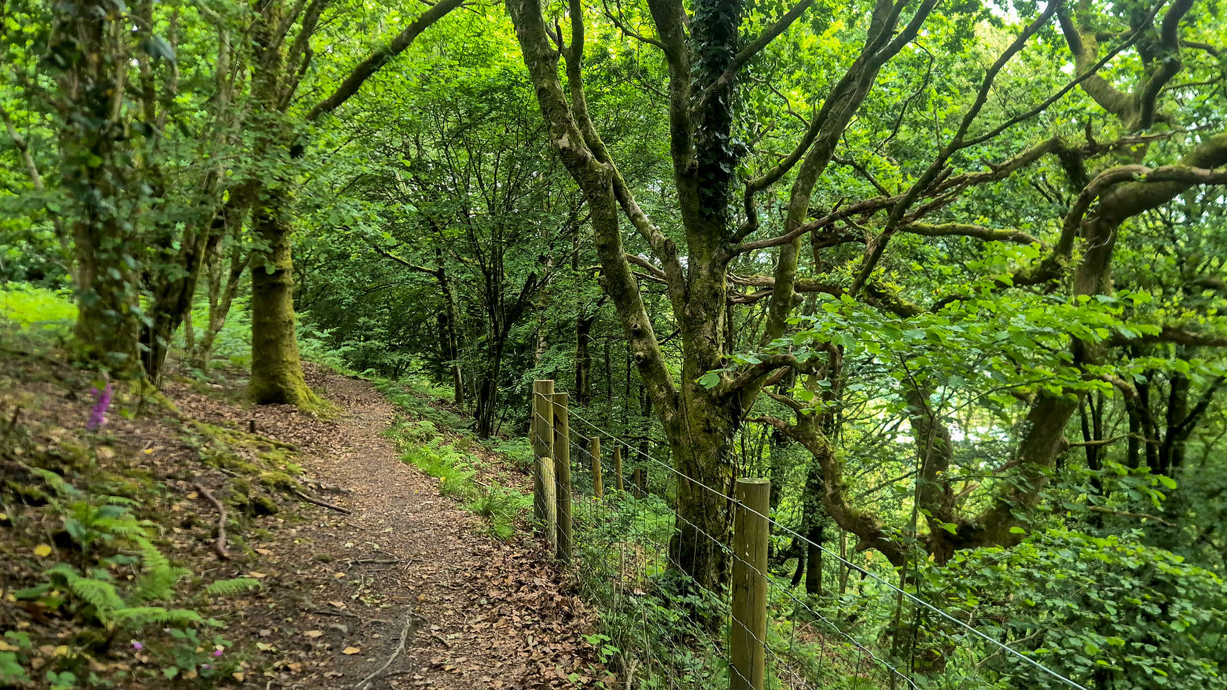
Lush forest and nice trail below The Garth (307m).
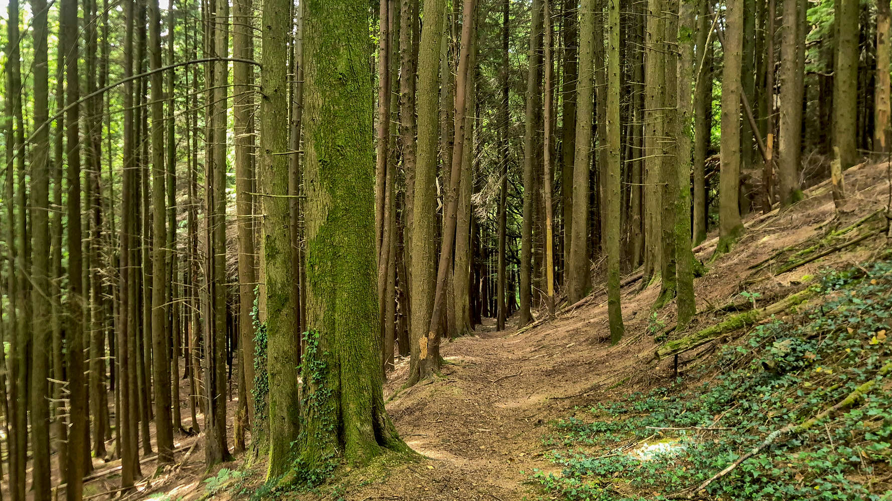
Back into the Lan Colliery forest for a bit.
This time the forest must be exited going NNE, in an arcing manner through a lush and humid section which proved a perfect cool-down from the increasing mid-day heat. The trail is pleasant and well marked (T1), although attention is needed to find the correct turn-off to get to Main Road. It took just 5 minutes to connect Route des Alpes to Main Road, and then following a bit of asphalt to find the switchbacks leading towards the North Taff bridge at Taff’s Well, bringing me closer to my next objective, Craig Yr Allt (273m) [P-154]. I was back at the Taff after 1:20 hours, for a total of 5.8km and 302m of elevation gain.
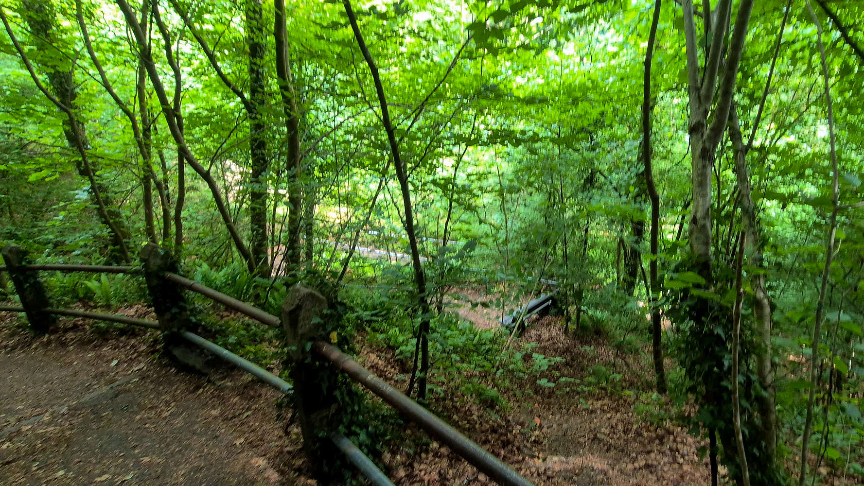
Descending towards the bridge.
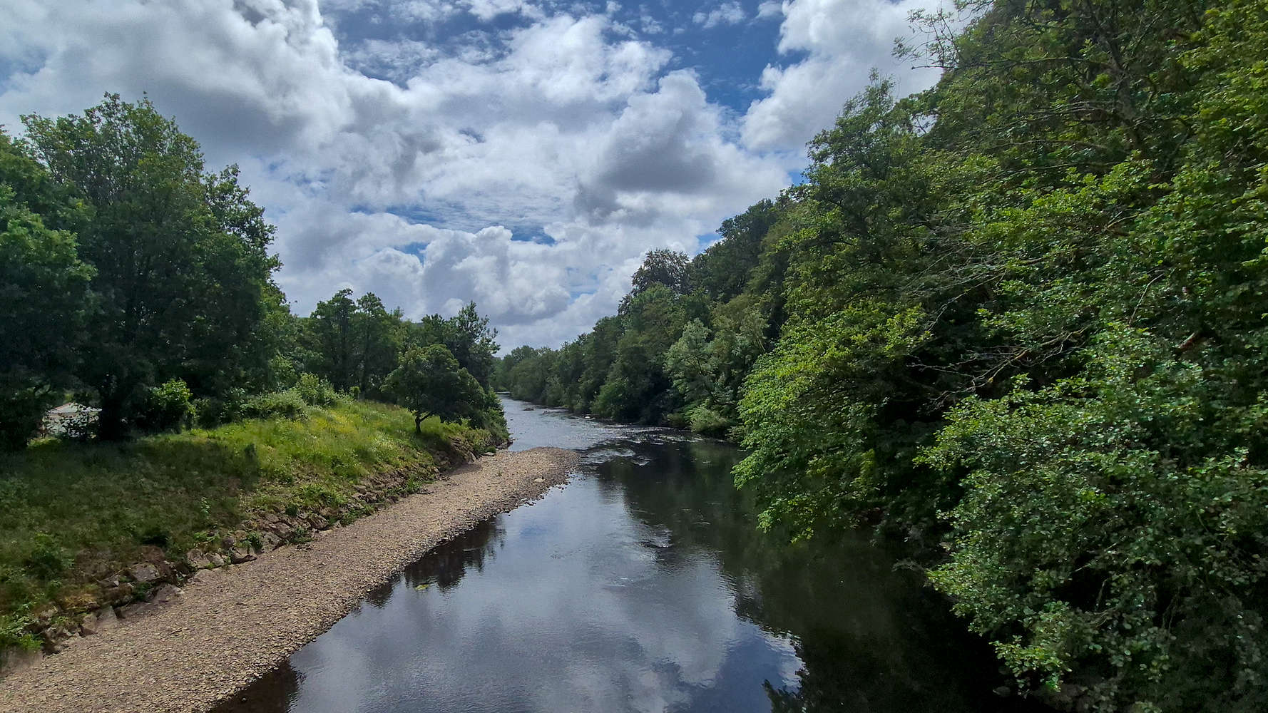
Crossing the river Taff.
Interactive Map
Logistics
This was the second Marilyn for my South Wales May 2026 trip, and I went for my preferred style of a solo eco-point ascent from Newport. Although we had been at a wedding party the night before, I felt fresh enough for a good half-day out.
Public Transport
I left from Newport train station at around 9:30, taking the direct train to Cardiff Central. There I was able to make a short changeover onto the Northbound line passing through Taff’s Well. In total it took about 1 hour each way, and at a total cost of GBP 18.35 for the return journey. This cost covers both ascents of The Garth (307m) and Craig yr Allt (273m).
Cost per Km: €1.23