Mynydd Twyn-Glas (472m) [P-253]
Summited On: December 21, 2025
Region: Pontypool, Torfaen, Gwent, Wales, UK
Overview
Mynydd Twyn-Glas (472m) [P-253] is the highest peak of the valley nearest to Newport, it extends roughly 10km North to South from Pontypool to Risca, and of which Twmbarlwm (419m) is a subsidiary peak of. Further to the North it connects to Coety Mountain (578m), the highest of the valley peaks. While Mynydd Twyn-Glas (472m) itself is not considered much more than a Marylin, the deep human history of the broader area make it a worthwhile objective if one is close by.
Mynydd Twyn-Glas (472m) lost in the fog.
Besides the rather short and easy route to its summit, it did not hurt that we had to meet family somewhat nearby. In fact, I was pleasantly joined on my outing by Gwyn, who is Nieve’s step-father, an avid hill walker and, a double Welsh Triple Crown finisher. He also brough along Rosie, their dog, who would also join us for our ‘walk’. Unbeknownst to him we were going on something just short of a hike, but was nonetheless happy to give it a go.
Route
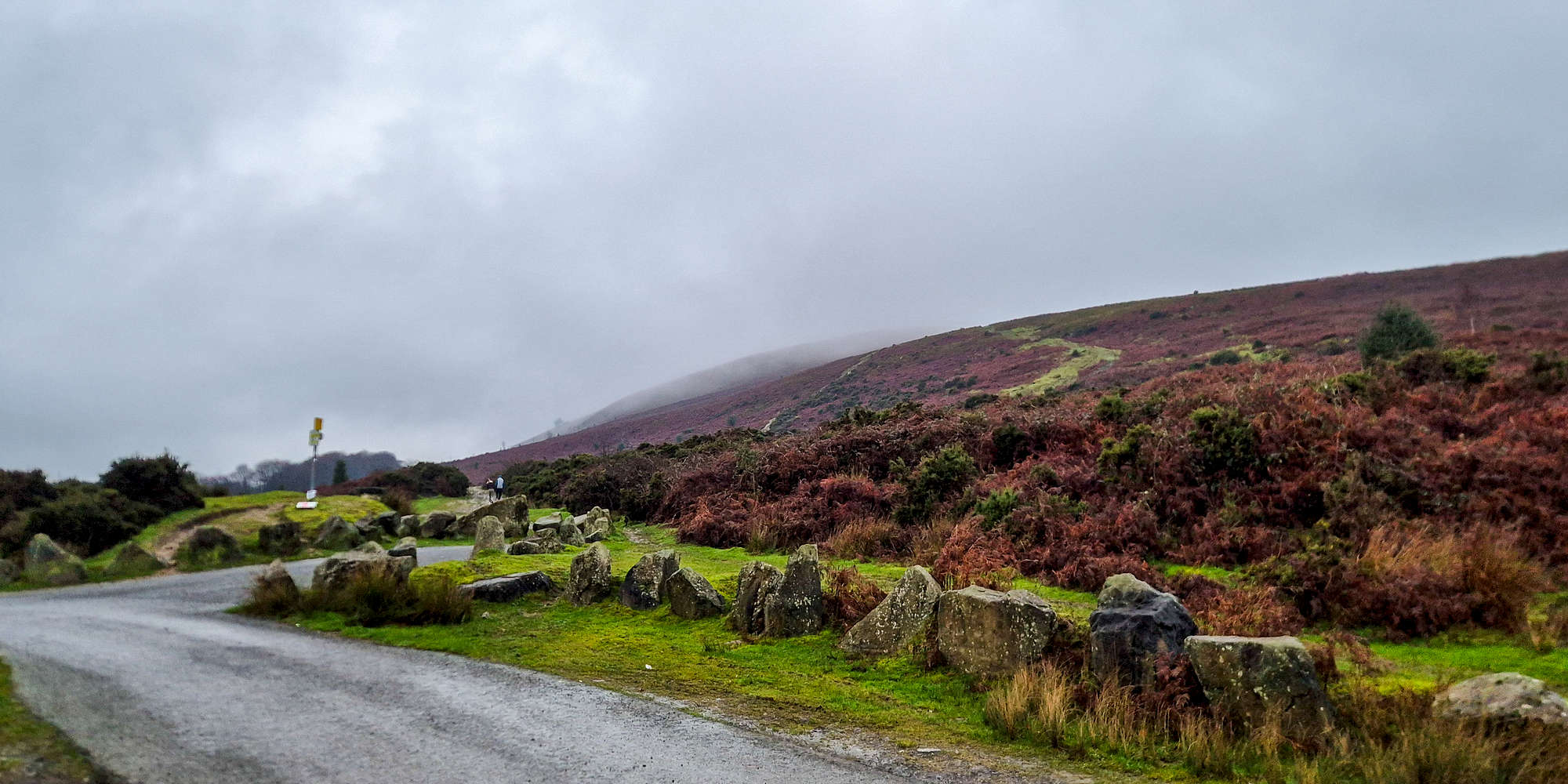
For this ascent the route selection logic aimed at shortest route and simplest access, avoiding narrow lanes if at all possible. With that in mind, and given we were arriving from the North via A472, the Mountain Air Car Park was the best decision. From there we would follow the ridge route all the way to the summit. Avoiding the lower route in the wet and variable conditions afforded us some additional protection from mud, which was quite welcome to Gwyn since he was weaking sneakers.
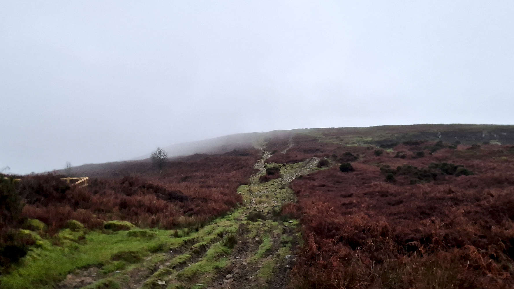
We left the car park and headed North, behind the single obvious cottage. With relatively poor visibility, and a somewhat menacing ambiance, we did not expect much from the jaunt as we continued past the cottage garden. Turning 90-degrees once past it, we faced the ridge rise which would bring us to the flat upper section of the peak. Most of the elevation gain is concentrated into this section which having being overused by bikes has nothing but two deep water scars among the rubble of mudstone - mostly T1+. I offered Gwyn one of my hiking poles which he gracefully accepted.
The lower slope towards the ridge.
Above the steeper section.
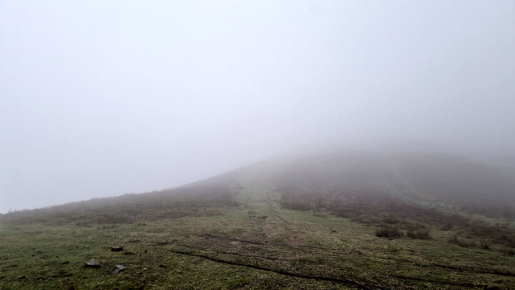
The going was not particularly quick at first, as the cooler temperatures of the day worked against us, and continued up the ever steepening slope and into the fog above. The ‘middle’ section is the steepest and is not helped by a layer of choss which could turn dangerous - this is the crux at T2-/T2. Even though some balance was lost, we remained ahead of the terrain and avoided any accidents. From here, the ridge narrows but flattens offering a much more pleasant line of ascent. Soon the so-called top-out is gained, and the ridge broadens significantly.
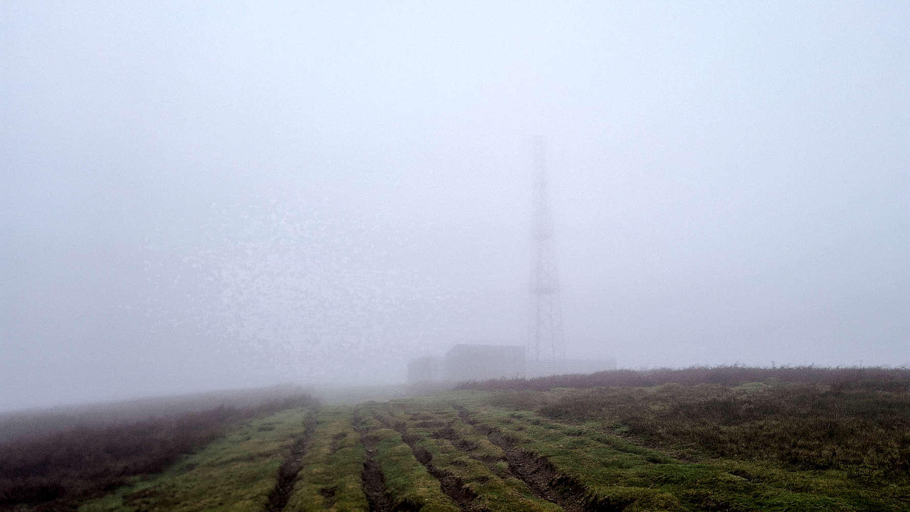
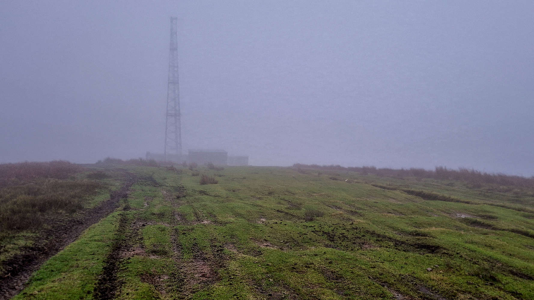
Nearing the telecom tower in the fog.
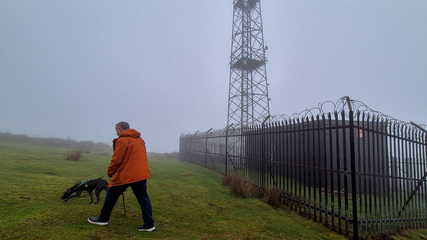
Rosie and Gwyn passing by the tower.
Here, as expected, the telecom tower which graces the ridge came into view, first briefly between the clouds, then ominously amongst them. Its door was open, some things were thrown outside; a rather curious scene. We could not have resumed talking for more than 5 minutes by the time the loud exhausts of dirt bikes echoed through the fog. We saw them come down from the summit area, pass us, then the tower, and finally continue down; within seconds it was dead silent again. We got back to chatting.
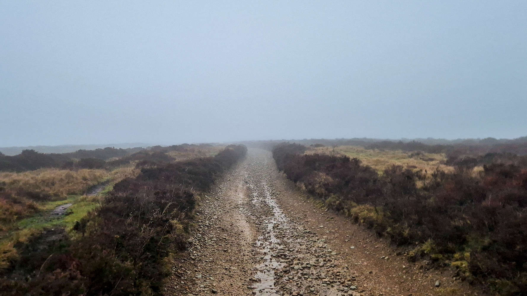
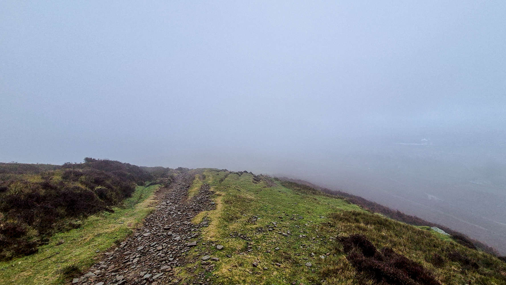
The highest quality of trail on the route.
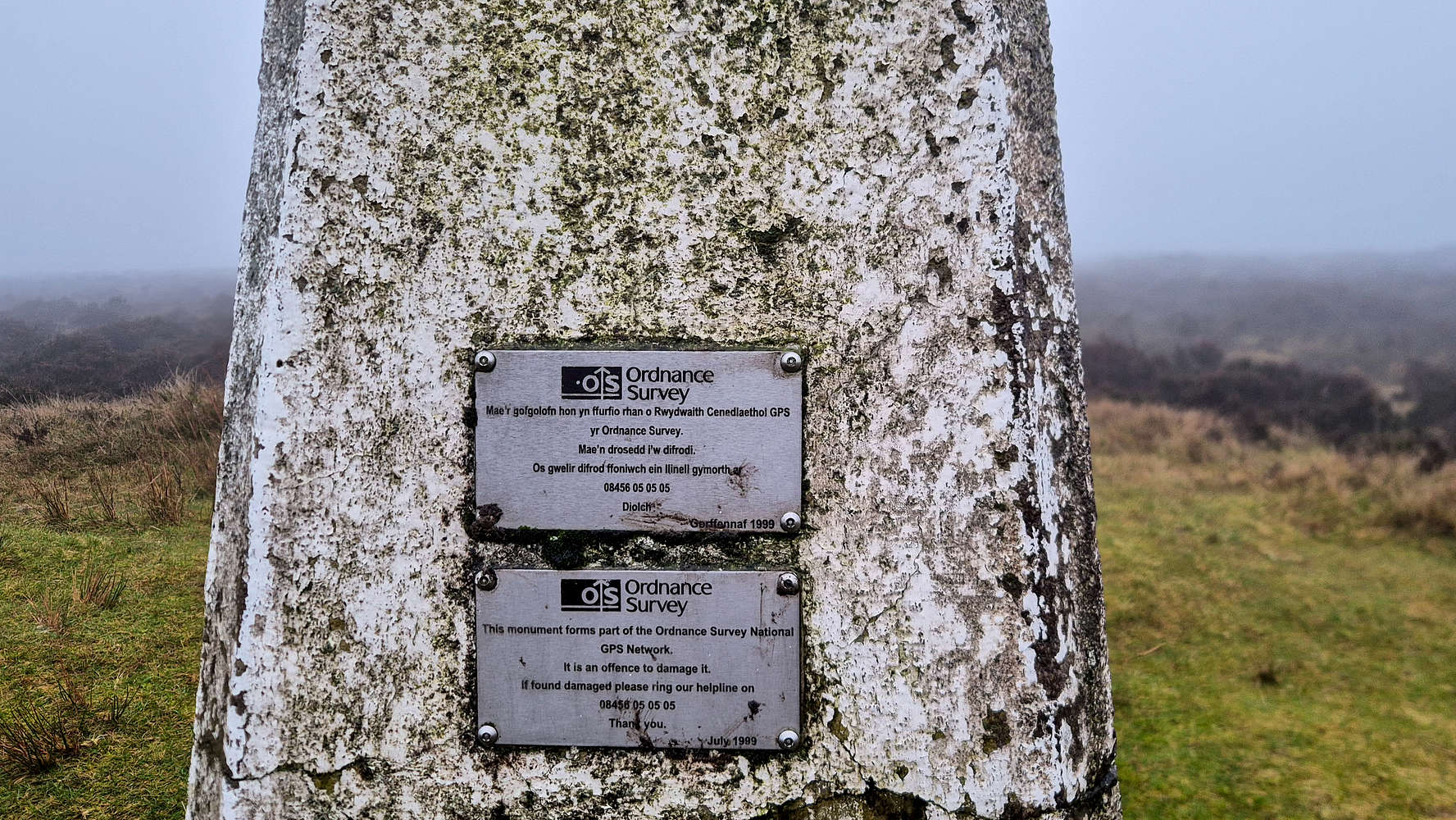
The OS Trig point at the false summit.
We followed the ridge plateau in a WSW direction, mostly on open country, sometimes on muddy tracks, and sometimes on a trail. In general conditions were not too wet, although large sections of mud required some circumnavigation, especially on account of Gwyns’ shoes. We kept up a rather brisk pace on the flatter terrain, and besides avoiding mud where possible, we followed the well-trodden route (T1) to the Trig. Point.

Rosie, Gwyn, and myself by the trig.
We reached the trig point at 471m - since the true summit is 30m away - after about 35 minutes in low visibility but otherwise stable conditions. Near the trig is situated a little wooden bench and we ran into another pair of walkers with their dog. We let the dogs play a little while we talked and they offered to take a photo of us. Soon we were both off, they took the cirque route back down, we began retracing our line of ascent.
Descending towards the tower.
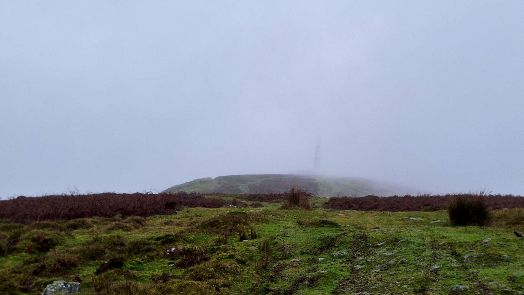
Getting closer now…
We joined the trail and followed our route back downhill, making quick work of the upper flat section. We managed to remember our optimal, anti-mud, routing and were much faster. As we began descending towards the telecom tower, we saw the clouds parting, a positive sign. In just a few minutes we passed the tower and reached the edge of the ridge. Here the clouds walled us from any further views, as we slowly descended into them.
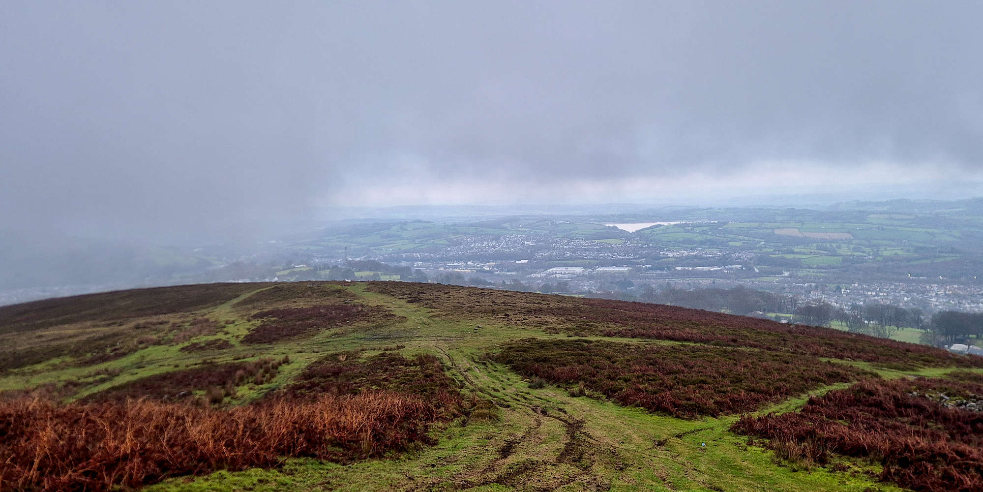
Views towards Llandegfedd Reservoir from the middle plateau.
Doing so proved fruitful, as with each step we began gaining visibility. Something I was itching for, having not seen a view yet this trip. Reaching the top of the middle plateau we caught our first unencumbered views towards Llandegfedd Reservoir to the East. The elevation difference from the terrain in South Wales never ceases to surprise me!
The ridge top-out on the descent.
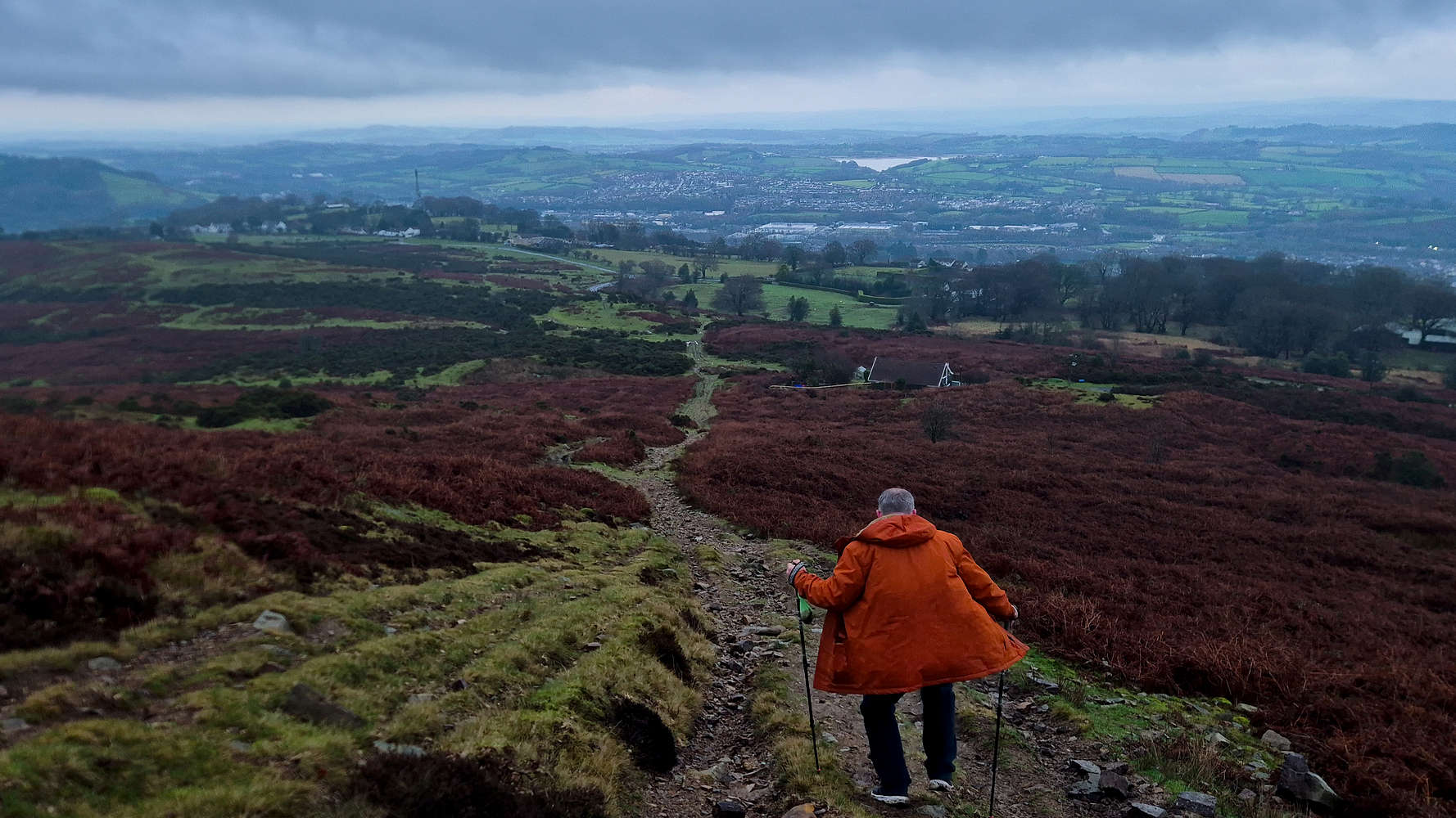
Gwyn descending towards the cottage & car.
At the steep section I took over Rosies’ lead, and did my best to stay balanced on the choss as we both carefully descended. Having now passed below the cloud level we were treated to the great views to our East. We were soon back down by the cottage and made our way to the car, excited to head home for the dinner which was waiting for us. All in it took us just under 1:15 hours for this easy round trip.
Interactive Map
Logistics
This was the second summit of our 2025 Christmas in Wales Trip during which we travelled to South Wales and enjoyed some easy peakbagging in the surrounding area. To read more about the trip itself please read the following Trip Report.
📰 Trip Report: Wales Christmas 2025
Nearby Peaks
The following is a list of significant nearby peaks.
📰 Mynydd Twyn-Glas (472m) [P-253]
🏔️ Mynydd y Lan (381m) [P-221]
🏔️ Coety Mountain (578m) [P-231]
Nearby Peaks Information
Peaks summited as part of the post are always shown on top (📰). If a nearby peak has not been summited, a peak emoji (🏔️) is displayed, and the link leads to the relevant Peakbagger.org entry - if available. Instead, if a peak has been summited, a check emoji (✅) is displayed, and the link leads to my specific Peak Report. These lists are periodically updated with checks and links.
Last Updated: 8 January 2025