Agios Achillios (936m) [P-83]
Summited On: August 27, 2026
Region: Pyli, Prespes NP, Florina, W. Macedonia, Greece.
Rating: ★★☆☆☆
Partners: Solo
Overview
Agios Achillios (936m) [P-83] [”Άγιος Αχίλλειος”] is a 1.7Km-long island on the NW corner of Small Prespa lake (”Μικρή Πρέσπα”), one of the only two inhabited lake-islands in Greece. It was mostly developed in the 10th century by Tsar Samuel, briefly becoming the capital of the First Bulgarian Empire, complete with fortifications. It was chosen as the relocation site for the remains of Saint Achillius by Tsar Samuel after having stolen them from Larissa (”Λάρισσα”), and rebuilding the homonymous synodic-basilica atop a larger 6th century proto-Christian church[1]. In 1014, Samuel was defeated by the Byzantine emperor Basil II — nicked named the “Bulgar-slayer” (”Βουλγαροκτόνος”) — and was buried on the island. The settlement was looted by Franks in 1073[2], but was thereafter integrated into the Byzantine Empire, hosting a Synod, and even a Panigyri(”Πανηγύρι”), a traditional feast on 15 May 1103[3].
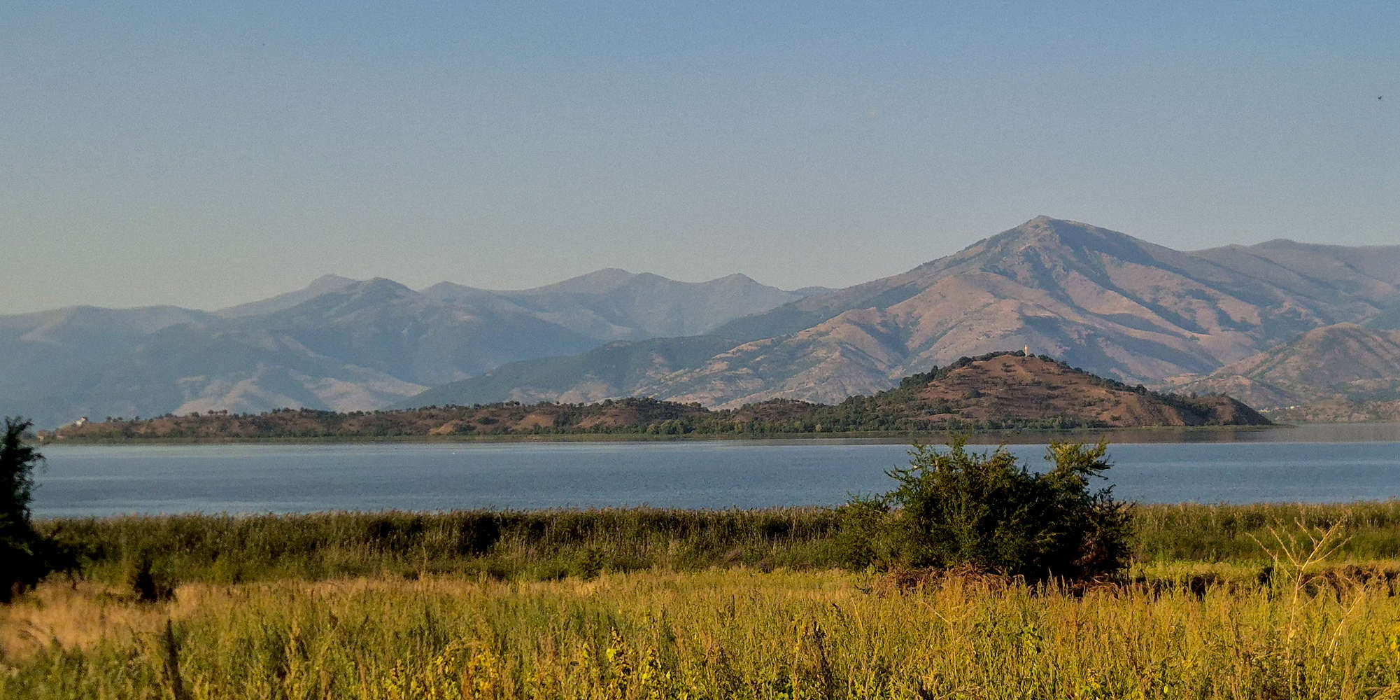
The island of Agios Achillios (936m). The Baba mountains in the background.
The region was inducted into Greece in 1913, and hosting a majority Slavophone population, was considered to foster anti-Greek sentiments. The area’s cultural and political ties with its neighbors would result in the basin becoming the last stand of the Greek Communist (DSE) forces, with Nikos Zachariadis (”Νίκος Ζαχαριάδης”) famously getting married on the island in 1948[4]. By the mid-1950s, the population of the broader region had declined by as much as 66%, reflecting the devastation brought upon it by the conflict. As recently as 1993, Riki Van Boeschoten recorded the common tongue as being the “Makedonski” language[5]. Today it remains a heavily contested region, with the ongoing debate of the “Macedonia” naming rights being the preeminent issue; but not for locals, who see themselves as both Greeks and Slavs, and to whom, association with our northern neighbors has been a historical constant[6].
Our research into Agios Achillios also uncovered the likely origin of the name “Prespa”, which according to Jordan Ivanov (1910) is the proto-Slavic name for a “compacted snow-pile”. With era texts referring to Samuel’s capital as “Prespa”, it follows that the name was initially given to the island itself, which resembles such a shape. The name is found as such as early as the 12th century.
Route
This was my 6th or 7th visit to the island, and having only ever walked the 400m to the Agios Achillios Basilica, I had long been curious to explore the rest of the island. Planning issues for the festival kept us away last year - visiting only for a few very hot minutes. This year, having had much less of a hiking load I decided to make the best of the mandatory outing by ticking off this highpoint as a solo trail-run. Despite the heat, it proved both feasible and worthwhile.
Distance quoted does not include the 700m water-platform which provides access to the island. This makes the total necessary distance 4.4km (round-trip).
We arrived on the island at around 13:00 with the objective of helping Pablo Garretón with his soundscape installation around the St. Achilles Basilica. The temperature had quietly creeped up to 34°C and Pablo seemed relieved that I showed up when I did; he went to the cafe for some lunch as I laid down 200m of audio cables. Work aside, it was wonderful to be at the basilica again, its collapsed apse presenting the peaks behind, and being devoid of iconography it is more like a temple to the land than anything else. After a little less than 1 hour, I made my way back to the cafe, found Nieve, and Pablo, and had some iced tea and a delayed breakfast. Not feeling like wasting this visit I decided to run to its summit while everyone else ate in the shade.
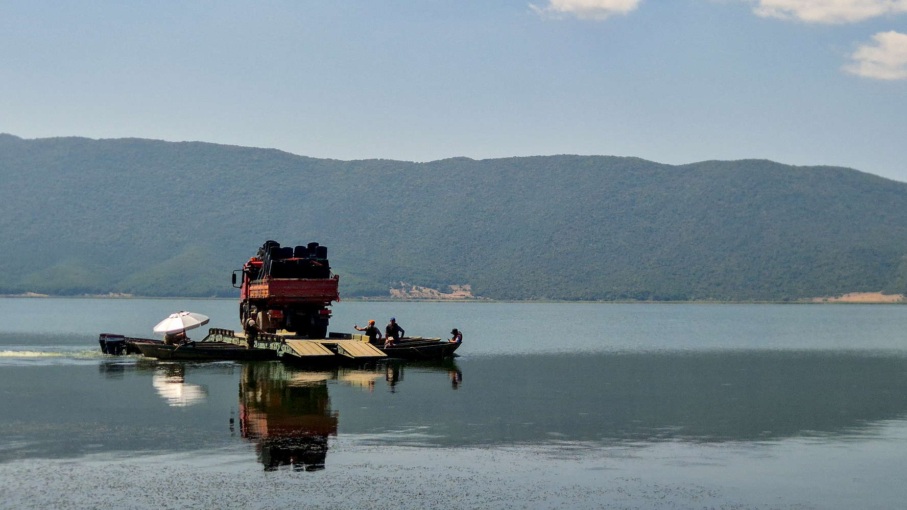
A rather Asian scene at the pier.
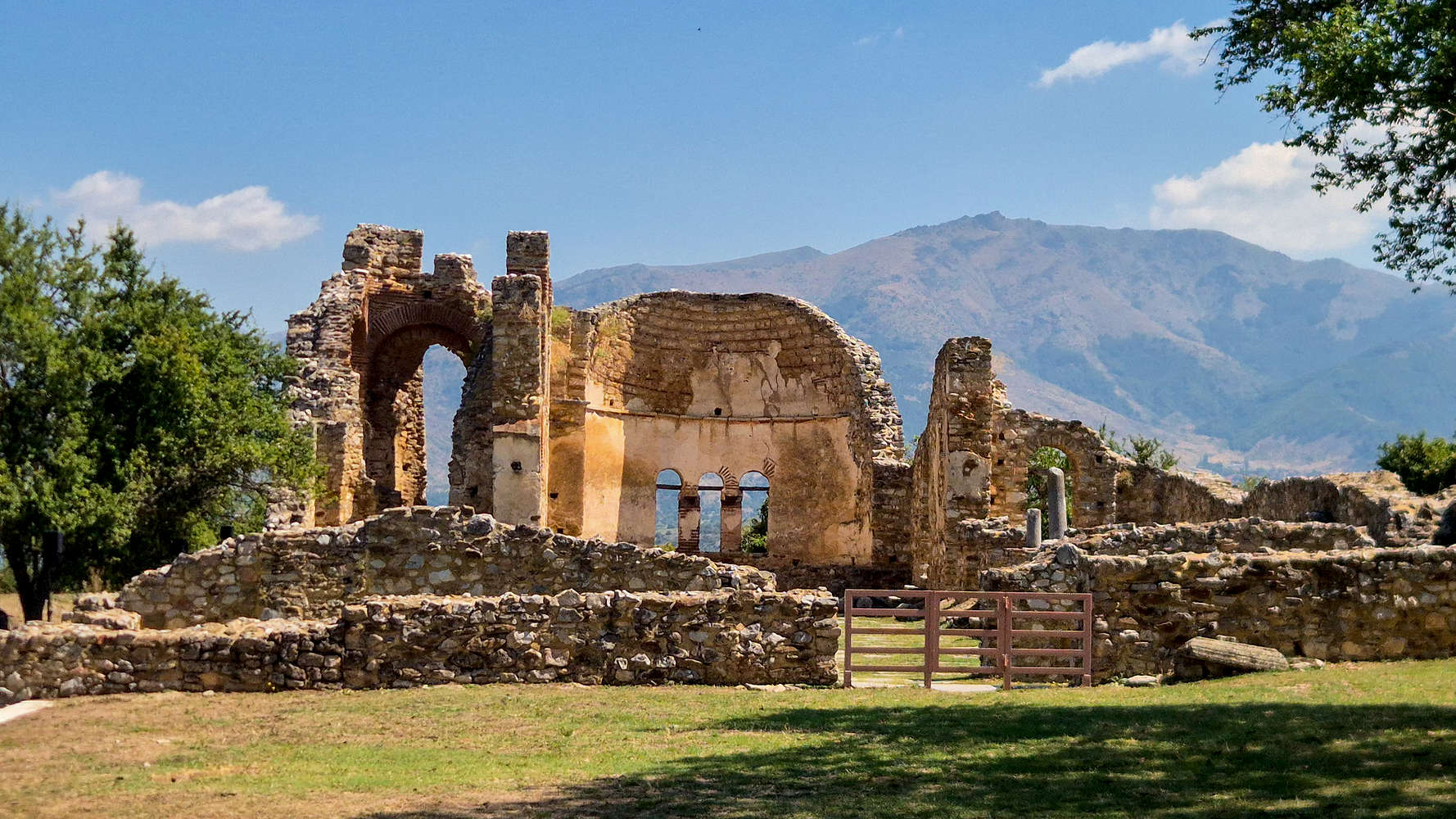
The Agios Achillios Basilica.
Nieve joined me until the new Agios Achillios church, above the village, from where the long snaking ridge would take me to the conical hill on the far East side of the island, and the cross which marks its summit. The late summer heat had painted the island with dry golden hues, and I found little shade as I made my way across the sunny path (T1). The scattered artworks of the Triethnes “Edge of Beginning” installation would accompany me on this first stage: initially Eleni Choumou’s “We Leave at the Break of Dusk”, then Apostolos Anagnostara’s “PAGANNATÚR I”, and finally, the curious forms of Vasko Gjorgiev’s “NomiNation”. As I approached the narrowing col. at the island’s center, a small herd of goats remained unmoving, clearly unwilling to give up the little shade they had found.
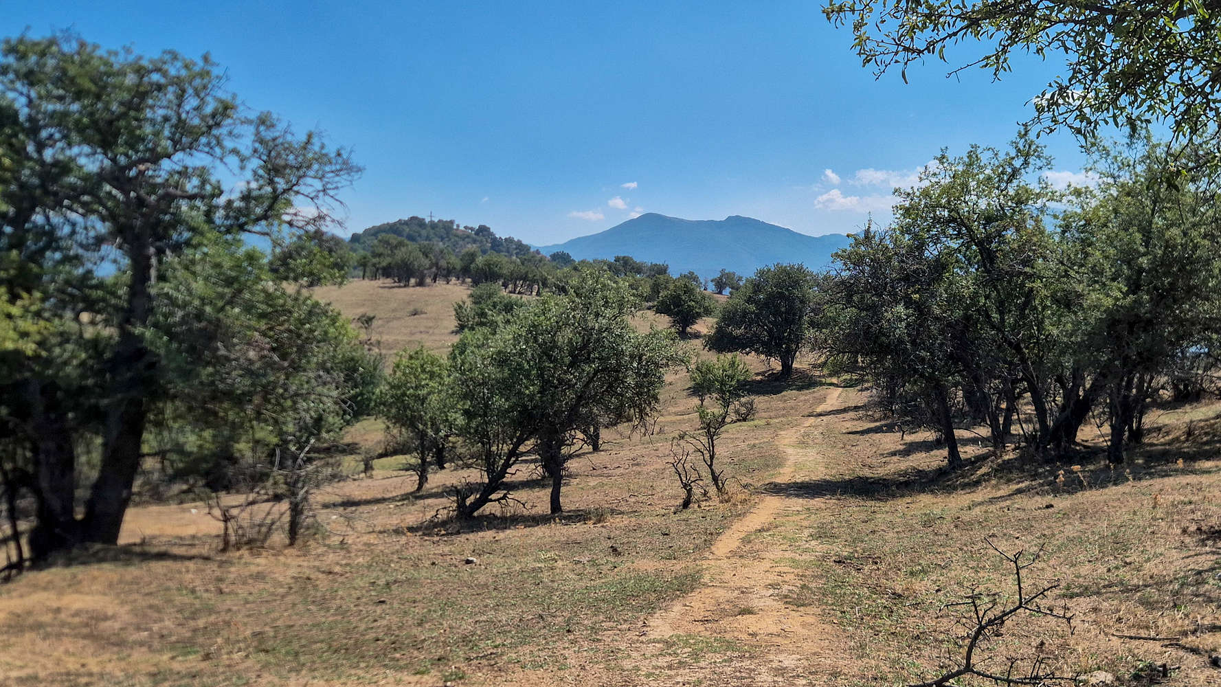
The ridgetop trail crossing the island.
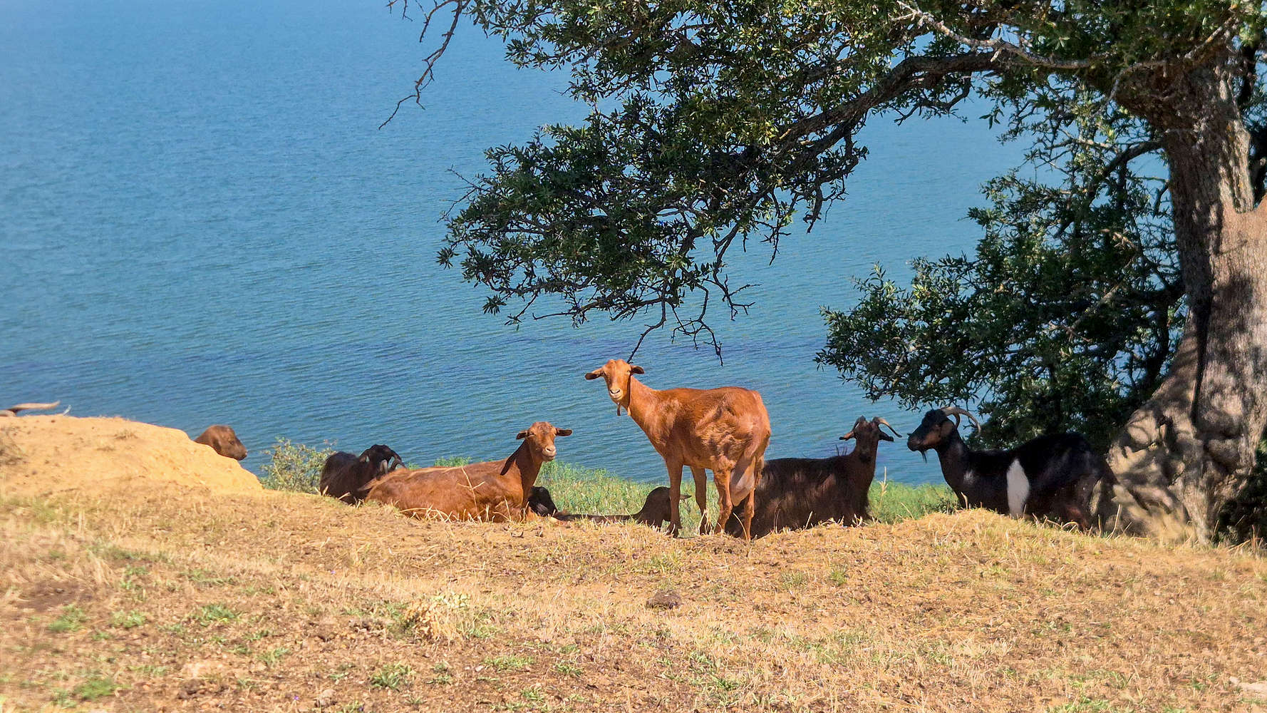
Goats enjoying the shade.
I reached the intersection leading downhill to Monastery of Panagia Porphyra, instead choosing an unmapped — but well trodden — uphill path (T2-). From a distance, the hill seems pleasantly inclined, but in reality it rises steeply from the col. and in the windless mid-day heat that was less than optimal. However, the fast elevation gain, and the occasional shade by the denser foliage made up for it. As if following a street I soon reached a ‘balcony’ area half-way up, before making a rising traverse to the right (T2-) and topping out on the summit cone, a few meters behind the giant cross.
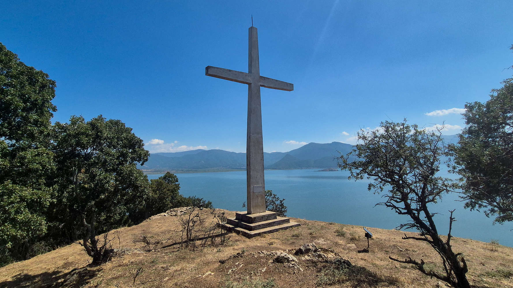
The summit cross, erected in 1977.
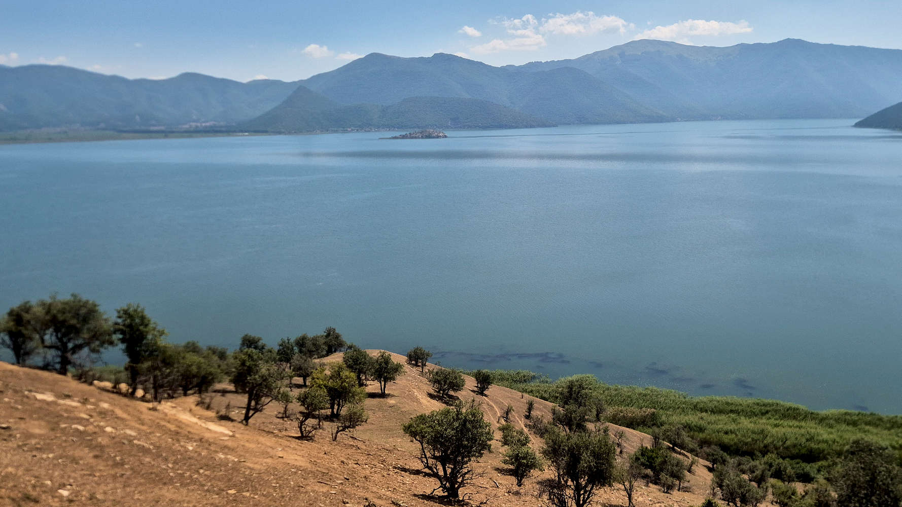
A commanding view to the ESE.
I walked to the small trig. point behind it , which marks the true summit at 936m a.sl., after 12 minutes. Looking across the lake to the sprawling massif of Varnous (2,334m) [P-370] the strategic importance of the site to an empire to the North is clearly evident. This side of the island was eerily quiet, its slopes dropping steeply into the emerald lake; in the distance, the small mass of Otter Island (”Βιδρονήσι“) could be seen clearly. After a no more than one (1) minute, I decided to retrace my steps, the summit section requiring careful technique, while the long ridge had its shares of uphill sections. All was well as as I reached the basilica again, checked in with Pablo, and then ran the 400m to the cafe. Everyone was still sitting there, enjoying their small meal and watching the birds go by; after all, I was gone for less than 30 minutes.
Interactive Map
Logistics
👷🏼 Under construction…