Kakarditsa (2,429m) [P-935]
Summited On: August 24, 2026
Region: Matsouki-Mbaros, Tzoumerka, Arta-Ioannina, Epirus, Greece.
Rating: ★★★★☆
Partners: Terry Raissi
Overview
Kakarditsa (2,429m) [P-935] [”Κακαρδίτσα”] is the highest and most prominent summit of the Tzoumerka (”Τζουμέρκα”) mountain range, and central Pindos (”Πίνδος”), as well as the 11th tallest mountain in Greece. Its name remains a linguistic mystery, with the most likely etymology arising from the Hellenic phonetic “Kakar / Kakav”, referring to the calls of endemic Rock Partridge (Alectoris graeca graeca), or alternatively, an Albanian root meaning “Salamander”. The peak is hidden deep in the center of a 27Km-long ridge, and is protected on all sides by soaring peaks and deep valleys, imbuing it with a unique ambiance of a greater alpine range.
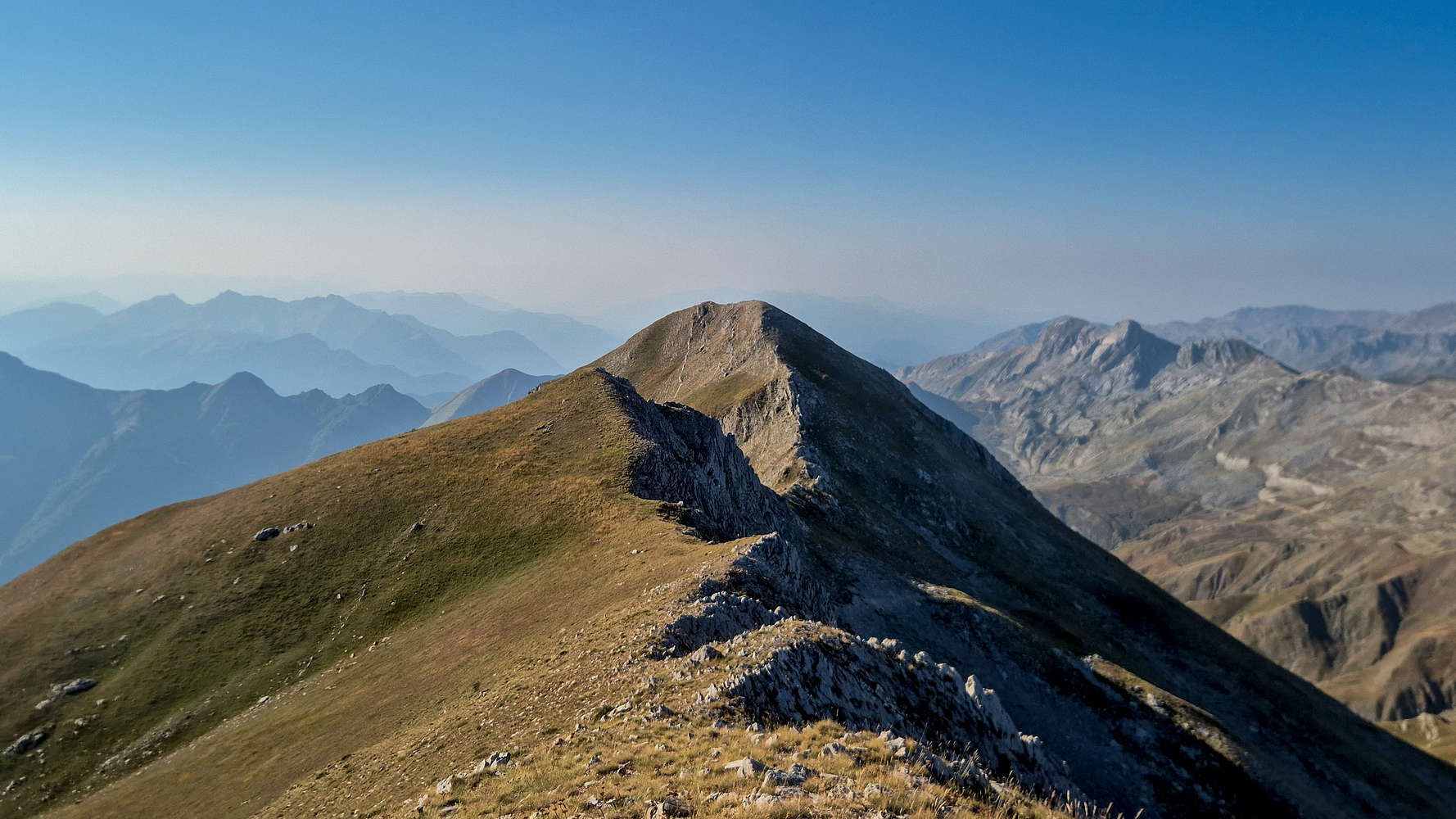
Airy summit ridge of Kakarditsa (2,429m) massif.
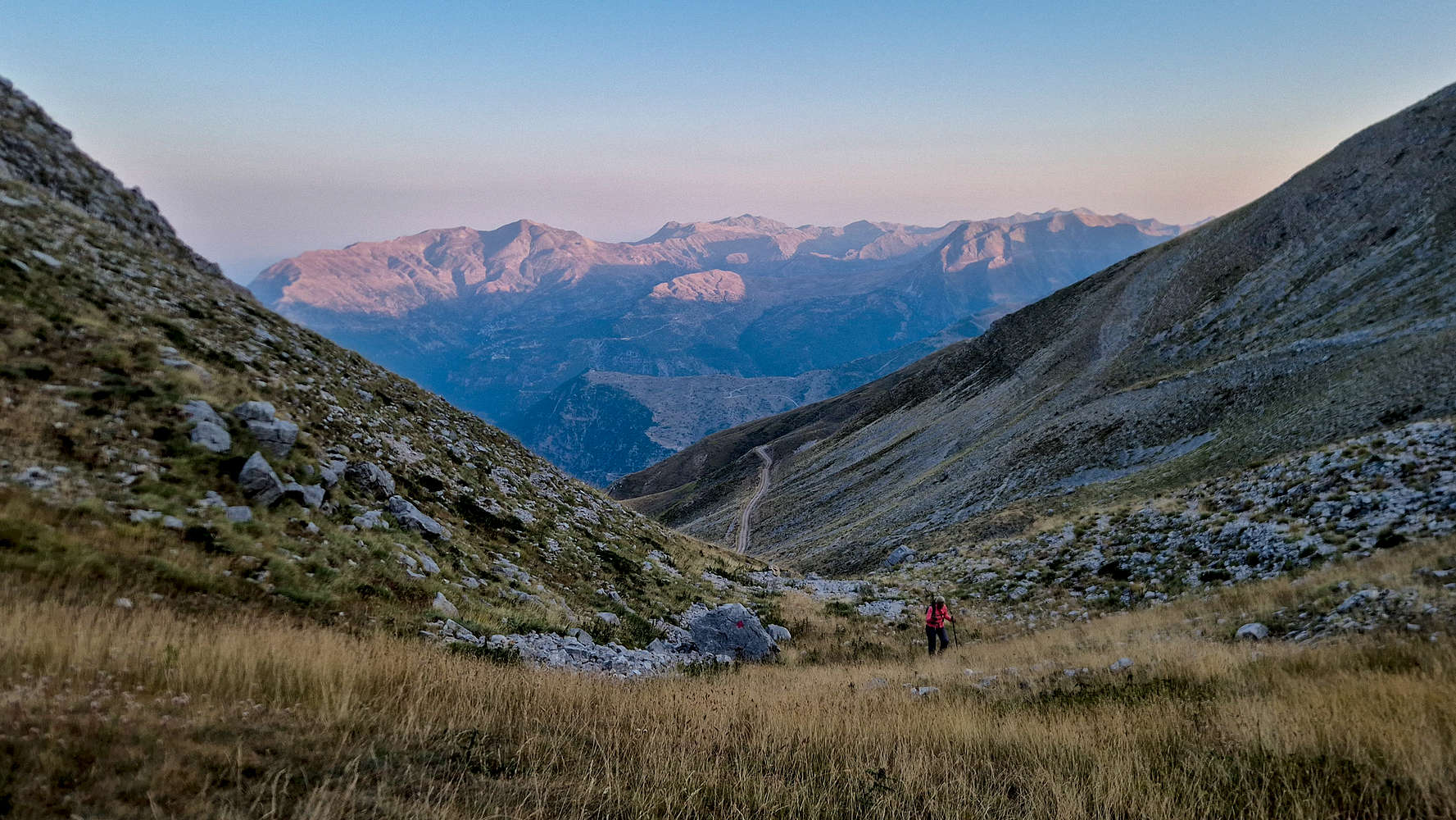
Hiking in the shadows at dawn; Lakmos (2,294m) behind.
The higher areas of Kakarditsa (2,429m) were historically used as pasture lands for the Transhumance practices of the local Vlach populations, but were deeply intertwined with life in the valleys. In the 1800s François Pouqueville was astounded by this rugged region while at the court of Ali Pasha, and later, the famous Léon Heuzey would comment on how Spring rockfall would devastate the villages below. It was however, Kostas Krystallis (”Κώστας Κρυστάλλης”) with his evocative poetry who would cement this massif in popular perception, equating the freedom provided by its wild and uninhabitable ridges to the desires of Ottoman-ruled Greeks.
“Πότε θάρθη μιάν άνοιξι θάρθη ένα καλοκαίρι, […]
Να βγούμε κλέφταις, βρέ παιδία, κλεφταις στα κορφοβούνια;
Μες’ στην ψηλότερη κορυφή να στήσουμε λημέρι,
Νάχουμε τάστρα τ’ ουρανού τ’ αποβραδύς κουβέντα,
Να μας ζηλεύουν οι άετοι, να μας ξυπνούν τ’ αηδόνια …”
— Κώστας Κρυστάλλης, “Τραδούδι Κλέφτικο”, “Αγροτικά” (1890), σελ. 50.
Route
Kakarditsa (2,429m) was a ‘wish-list’ objective for us for many years, but given its distance from Athens and complex access, it had remained just that; an idea. This year we decided to revisit Kalaritikos Valley with the explicit goal of summitting this peak. Having planned an overnight in Kalarites, we very much looked forward to the +20Km drive, through Mbaros Pass (1,900m), and via the Kakarditsa grazing access road, to reach the upper trailhead. This approach requires a 4WD vehicle, and although we expected the road-quality to be quite bad, we were surprised to find it in a great condition. Still, over 1 hour of driving through some of the most difficult mountain roads in Greece is something which must be considered. An alternative but much longer hiking approach is possible via the village of Matsouki (”Ματσούκι”), which is closer to the peak.
We moved through the cobbled streets of Kalarites like specters, too afraid to disturb the morning silence. The clock had yet to strike 06:00, and the stary night-sky loomed above us. Terry hesitated to drive, but alas the road wouldn’t change, and on we went. Winding turn after turn I was glad we could not see the cliffs below, soon surpassing 500m in height. Across from us the sun had begun to backlight the main ridge, its form softly distinguishable on the horizon, its curves familiar yet unknown; would this lover accept our advances? The usual feeling of anxiety came, and only left as we moved onto the questionable dirt road. Lucky to meet some hunters, we were informed of its quality, breathed out in relief, and drove the 30 or so minutes in an enchanted silence.
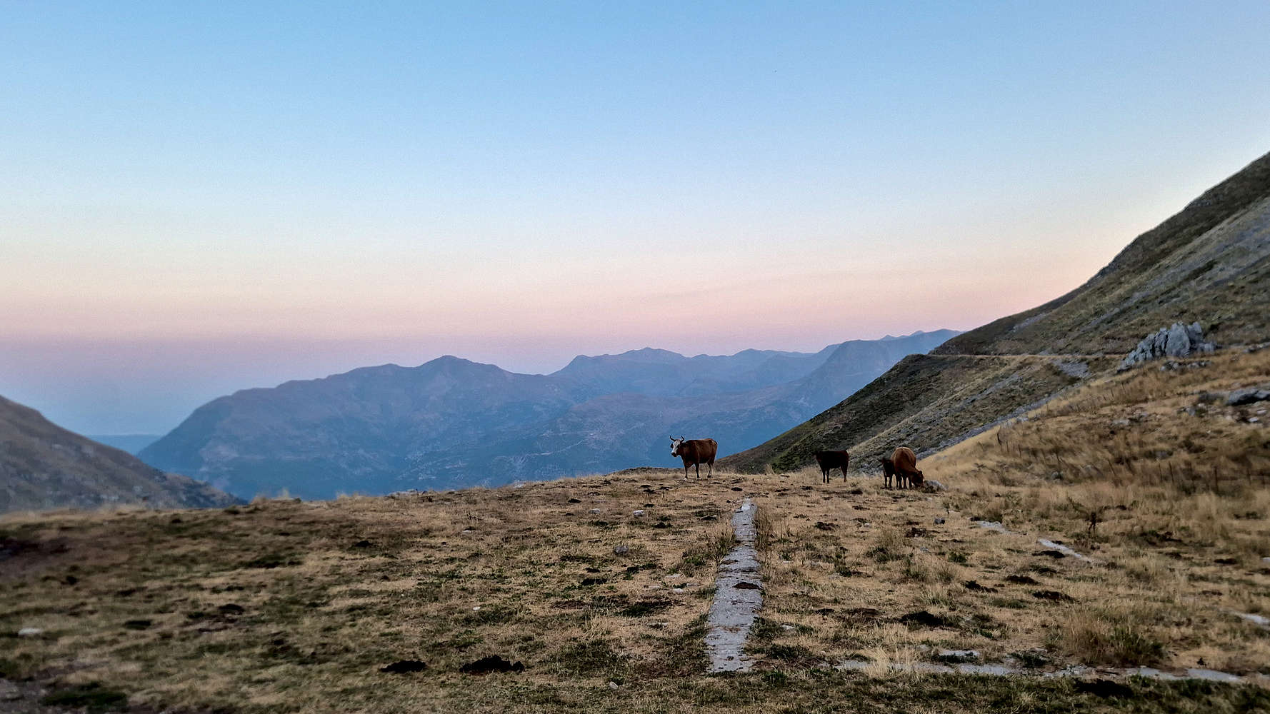
The only residents up here this summer.
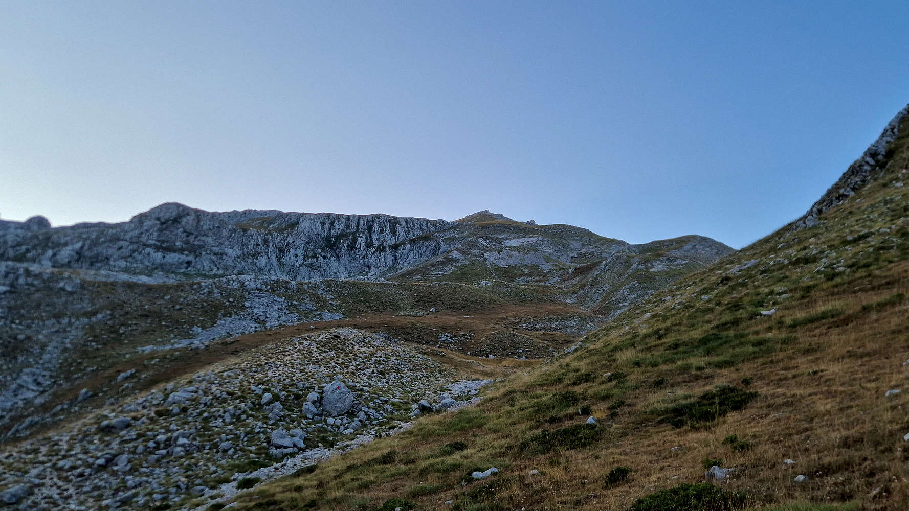
Kakarditsa (2,429m) from the trailhead.
At the trailhead farmstead we found a father and his two daughters, complete with three hunting dogs getting ready for the same hike; they had overnighted at the farm. We exchanged greetings, and being slower to gear up, followed them towards the towering mass somewhat delayed. The grass field gave way to an engaging leftwards traverse of usual Pindos grass-scree with a small rock-band as the crux (T3+). Finding ourselves at the foot of a small ridge, we continued along the markings to its left and through a small bowl. Here, the other party strayed right, while we continued traversing left (T3); reaching the foot of a small spur.
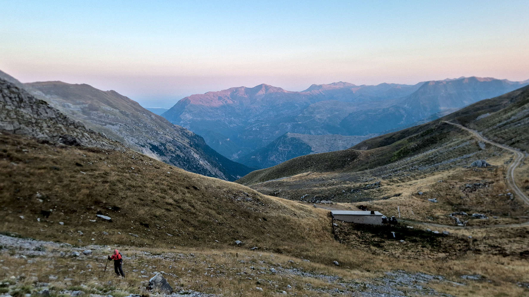
Ascending towards the lower rock-band (T3+).
Following markings to the spur; Lakmos (2,294m) behind.
The NW ridge was still in shadow, and the spur was clearly the best way to gain it. This is done through a steepening ramp, eventually requiring to traverse on the rocky sub-crest. I reached the airy perch first, while Terry followed; still far below us the family of three struggled to make headway. Every so often we’d hear them call to one of the dogs who kept running freely on the slopes. It had taken us 1 hour to reach this point, so we enjoyed a break, taking in the views and alpine ambiance.
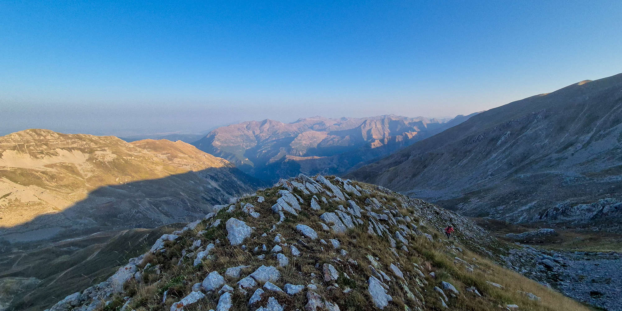
Topping out on the NW spur under the daylight.
Onwards, our route follows the WNW ridge to the summit, taking an airy, direct, but safe line. Here the incline increases, and the usual grass-scree becomes a bit problematic. A steep lower section leads us up to the upper ‘crux’, which looked slightly intimidating in shadow, but as we soon discovered was none but tedious. We wind through the boulder field, the markings being useless, we find the line of least resistance (T3-). After 15 minutes we near the foot of the pillars making up the “gates”, and a few steep and exposed meters on scree (T3+) later we regain the grassy ridge above.
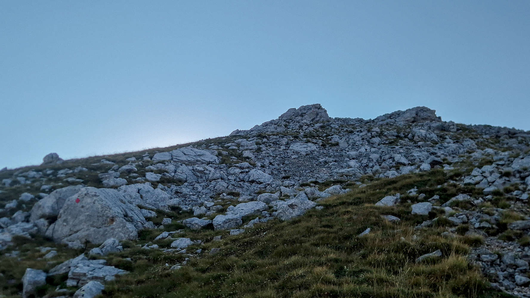
The ‘gates’ with their steep boulder field.
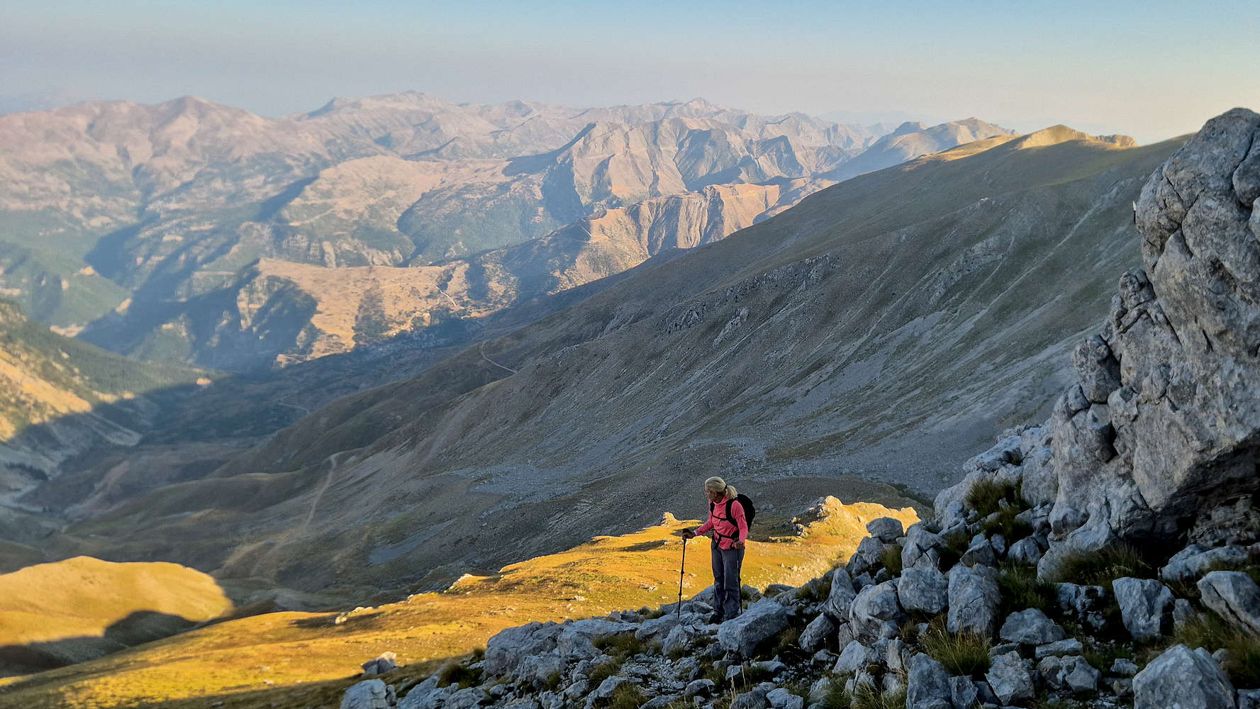
Terry taking in the views high on Kakarditsa (2,429m).
At once, the warm morning sunlight hit us at full force. The slope to our was left bathed in a spectacular gold and the sky above was crystal clear, the ridge seemed to touch the sky. While the steepness is reduced, the feeling of exposure is significantly increased, more so by the cliff-face to the right. We probably maintained our pace but it felt as if we slowed down, taking in the expansive views, and airy feeling, at nearly every step.
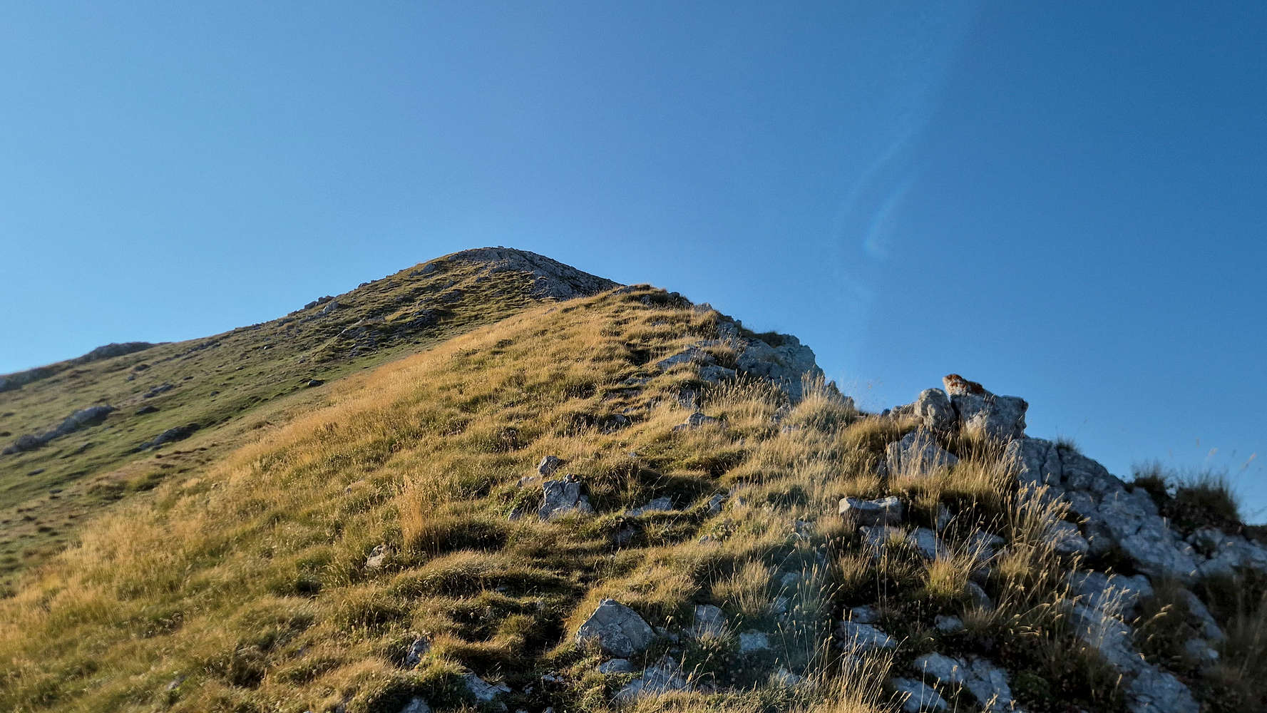
The top of the WNW ridge of Kakarditsa (2,429m).
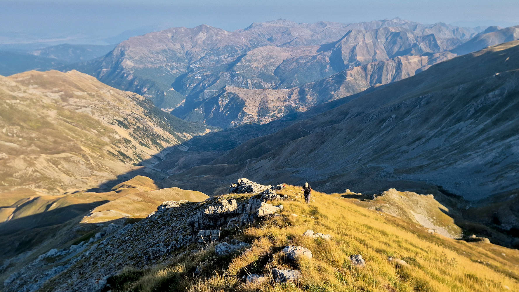
Terry ascending the sunny ridge.
After 1:47 hour I crested onto the small summit ridge, with its proud trig. point and a surprising summit registry — until recently very uncommon in Greece. The hazy atmosphere precluded distant views, but around us a world of steep alpine peaks presented itself. Even on the highest ground we felt enveloped. Kalarites could be seen far far in the distance, and nothing but rock, grass, and forests were around us. The views were complimented by glacial features to our South, and we enjoyed delaying our departure. We waited for the family group to summit, took photos of each other, and had small talk while we ate. After 20 minutes we decided it was time for us to descend.
With this ascent Terry completed the “Tzoumerka Triple”, having summited: Kakarditsa (2,429m), Katafydi (2,393m), and Lakmos (2,294m).
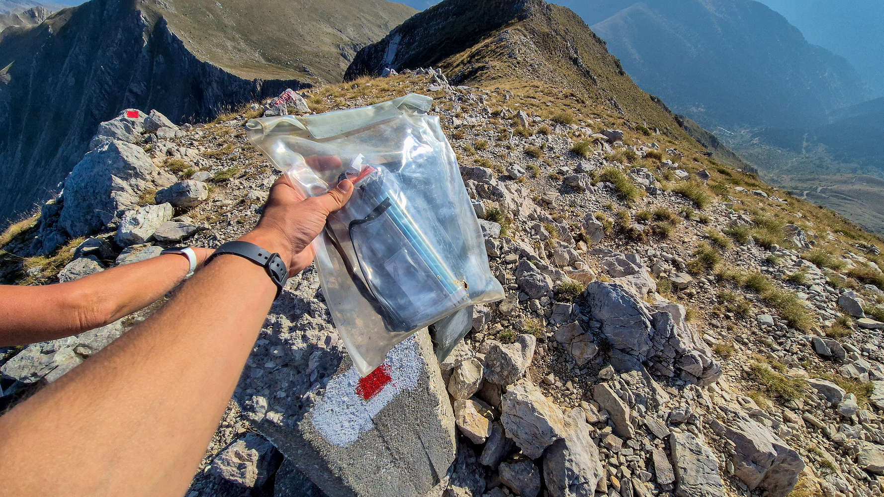
The well-kept summit registry on Kakarditsa (2,429m).
Peak 2384, on the Kakarditsa (2,429m) summit ridge.
We took our time descending the ridge, and continued to do so as we navigated through ‘the gates’. The loose scree, steep slope, and rising temperatures, made for an exhausting combination. By the time we reached the top of the small spur we were very much more interested in saving our knees. I lost track of time and relished in the pleasant temperature even under direct sun; soon enough it’d begin to get unbearable.
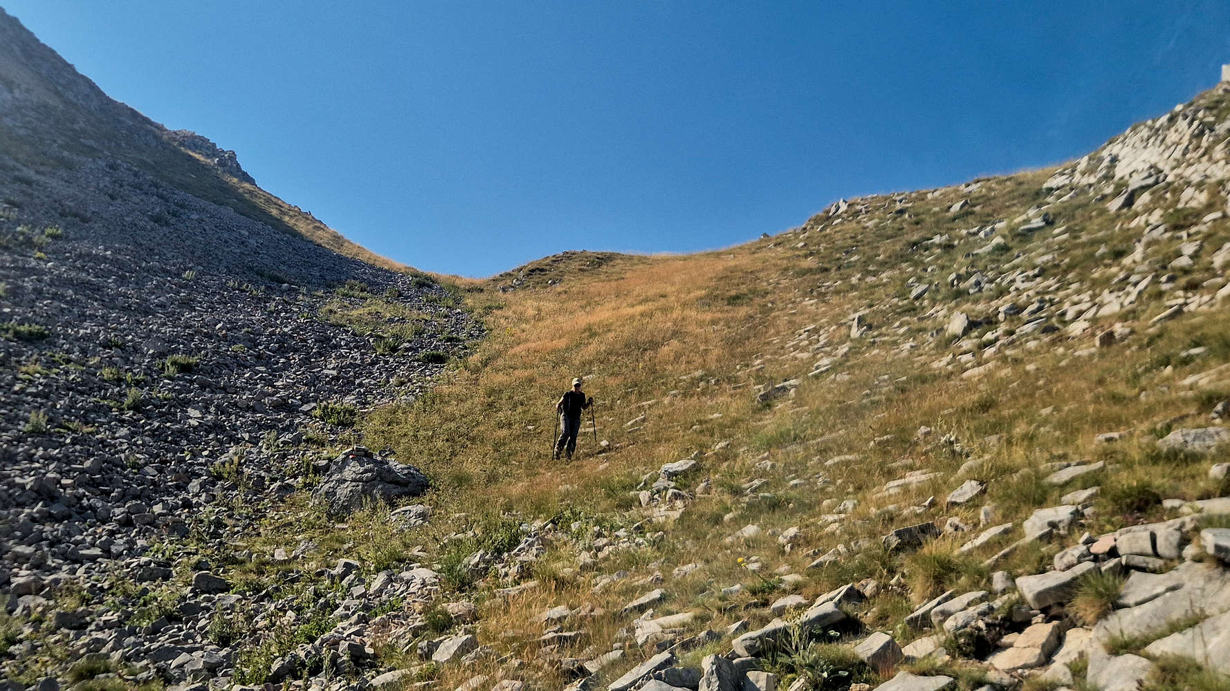
Terry descending the ramp below the spur.
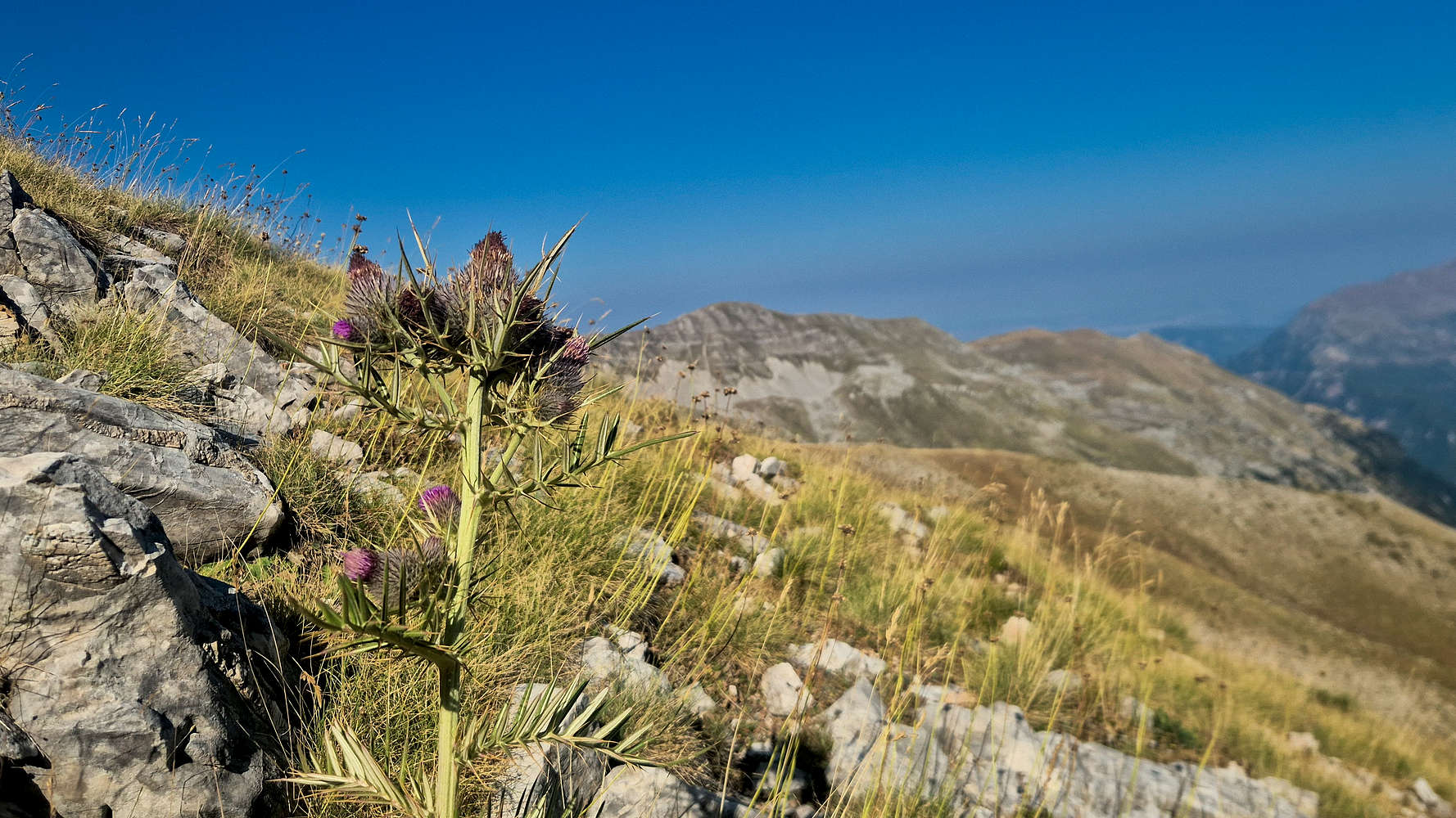
A Thistle (Cirsium italicum) plant at just under 2,000m.
The day brought with it life on the middle mountain, and the morning silence was replaced with echoes of Alpine Swifts (Tachymarptis melba) which buzzed overhead in swarms. The grass took on its usual olive green, with vibrant splotches of blue and purple on account of the plentiful Thistle (Cirsium italicum). We reached the lower crux (T3+), which was a little difficult for Terry who almost got cliffed out. After 1:14 hours we were back at the car, the temperature reaching an excruciating 30°C, and quickly got ready to drive the hours long return back to Kalarites.
Interactive Map
Logistics
👷🏼 Under construction…