Arakynthos (984m) [P-722]
Summited On: August 22, 2026
Region: Agrilia, Mesolongi, Aitoloakarnania, Western Greece, Greece.
Rating: ★★☆☆☆
Partners: Terry Raissi
Overview
Arakynthos (984m) [P-722] [”Αράκυνθος”] is a low-slung, expansive, and heavily forested massif extending NE of Mesolongi (”Μεσολόγγι”) and essentially separating the regions of Aetolia (”Αιτωλία“) with that of Acarnania (”Ακαρνανία“); Its name is an Ancient Greek conjugation which most likely means “[beautiful] divider between [beautiful] places”. With its Flysch bedrock and advantageous position, the massif receives significant rainfall, and is abundant in flora like Sweet Chestnut (Castanea sativa) and Turkey Oak (Quercus cerris), as well as wildlife such as Otters (Lutra lutra), the Balkan Terapin (Mauremys rivulata), and over 100 species of birds. Arakynthos (984m) is part of the Missolonghi–Aitoliko Lagoons National Park (GR2310015), and specifically designated as a Natura 2000 protected site (GR2310010).
![Aerial view of Mesolongi and its lagoons from Arakynthos (984m) [P-722].](https://images-sp.summitpost.org/tr:e-sharpen,e-contrast-1,fit-max,q-60,h-1000/1103529.jpg)
Aerial view of Mesolongi and its lagoons from Arakynthos (984m) [P-722].
This massif is also of great geological significance, as it once held back the waters of Achelous river (”Αχελώος”), forming a large reservoir in the Agrinio (”Αγρίνιο”) basin, whose waters escaped only via Kleisoura Gorge (”Φαράγγι της Κλεισούρας”). As the flow of the river diverted, the massive empty gorge allowed passage between Mesolongi and Agrinio. In this way, the massif of Arakynthos (984m) has been considered a “connector” between the two ancient regions, and retains some of this mystique up until today; when only sparse villages span its expansive forest-covered slopes.
It is one of the most referenced mountains of Aetolia in classical history, highlighting its importance in the human geography of the region.
Route
This obscure objective came to mind as part of the travel planning for our pre- Triethnes 2026 road-trip where we decided to stay at Mesolongi, given that it is less than 4 hours from Athens. In that context, I examined the Greek P-600 list and realized that Arakynthos (984m) offered a great combination between simple access, a short outing, and a relatively unknown and beautiful massif. Therefore, we allocated our trips first morning to completing the ascent.
After driving no more than 10 minutes down a medium-quality dirt road (4WD required), we decided to park at an ‘intersection’, seeing that continuing by car would be possible until further. After all we were out for a walk. The crisp morning air, and the coolness of the clouds which enveloped us were a welcome escape from the heat below, and we lost no time following the dirt road (T1). We continued on it for about 10 minutes, reaching the first hairpin.
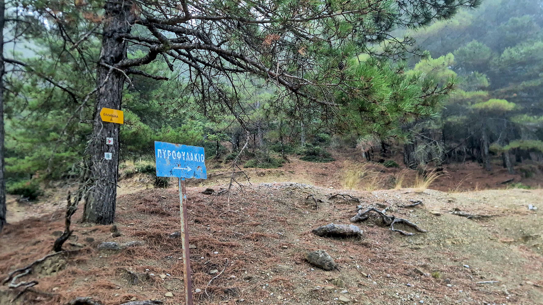
Signage at the intersection where we parked.
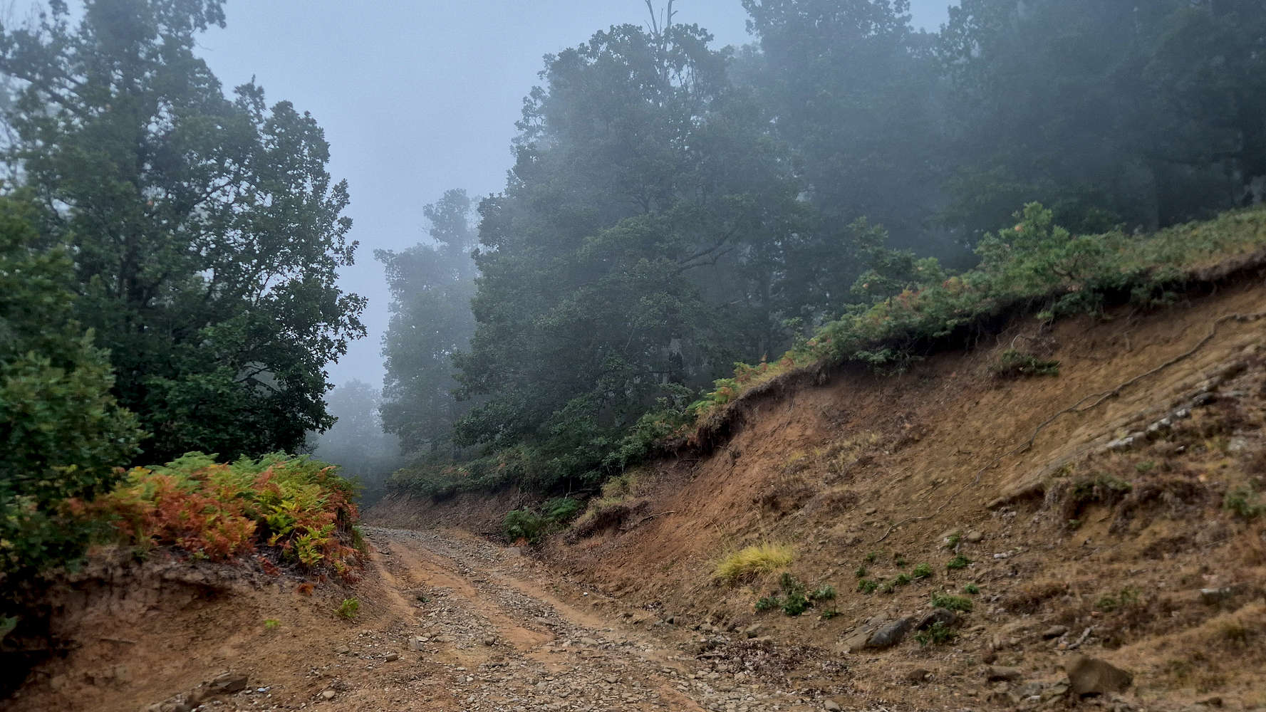
Autumnal feel at 800m a.sl. in mid-August.
Looking for a more direct line, we avoided the next leftwards traversing turn, instead stayed right and followed a faint line up the fore-summit. We walked inside a lush forest of Oaks and Firns, which under the dim, cloud-obscured sun, felt rather Welsh. At the 15 minute mark, a short downpour caught up with us, but the trees provided enough cover to continue.
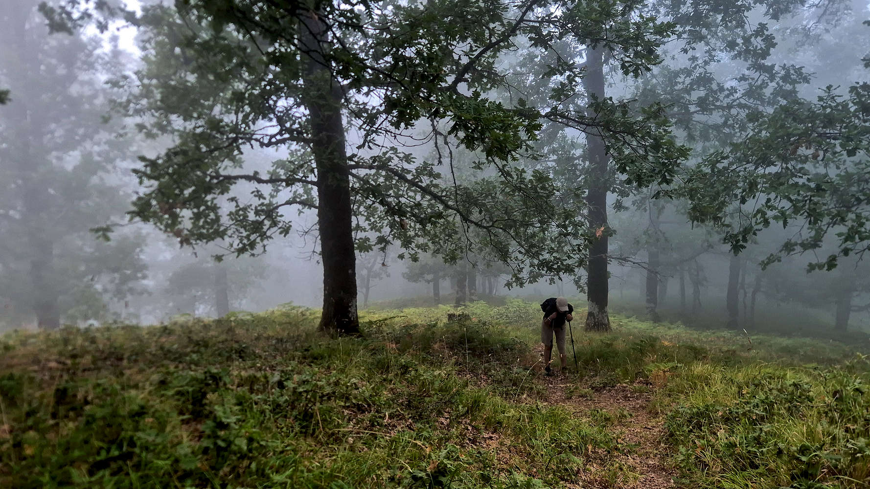
Hiking in the foggy summit forest of Oak.
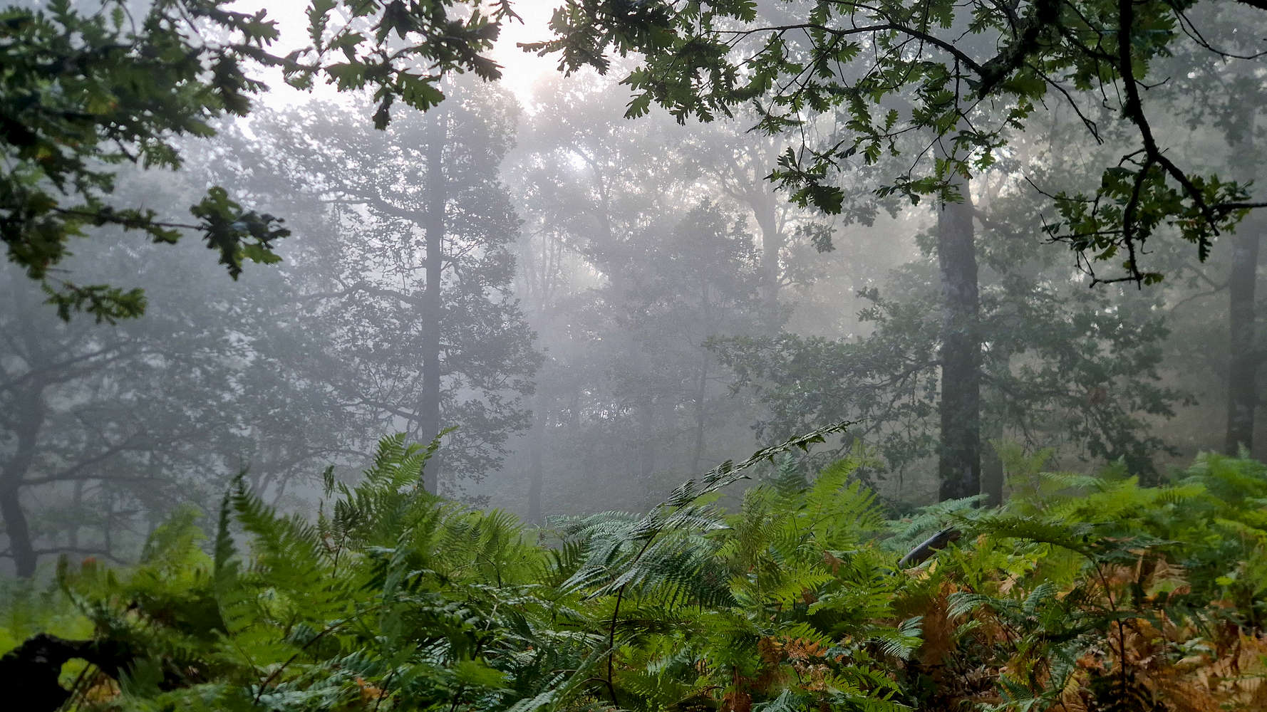
Peaking sun after a passing shower.
With the brief shower now past us, we continued on a good ghost-track (T1+) for another 5 minutes, slowly cresting onto the fore-summit at 967m. Luckily for us, the clouds began to break just as we did so, giving us a glorious view of the extensively forested and steep Kolovros (”Κολοβρός”) valley leading into Mesolongi to our South. We relished under the sunlight as we descended towards the Col. with the main summit.
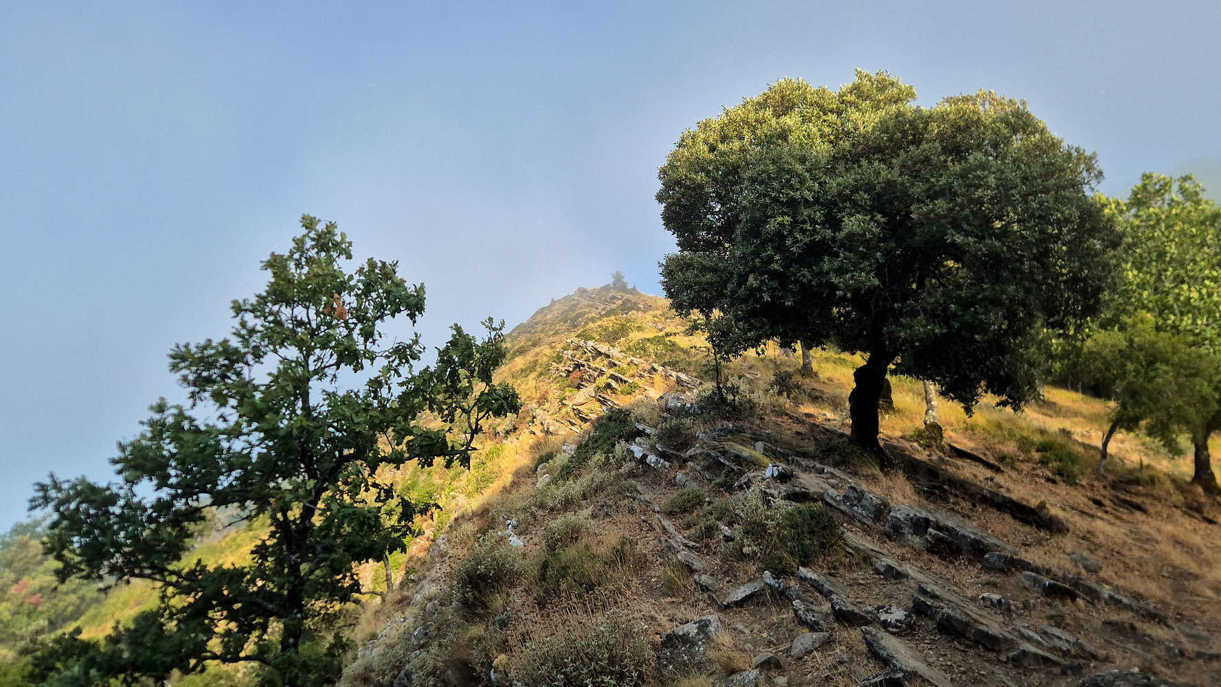
Flysch strata decorate the crest of Greveno II (967m).
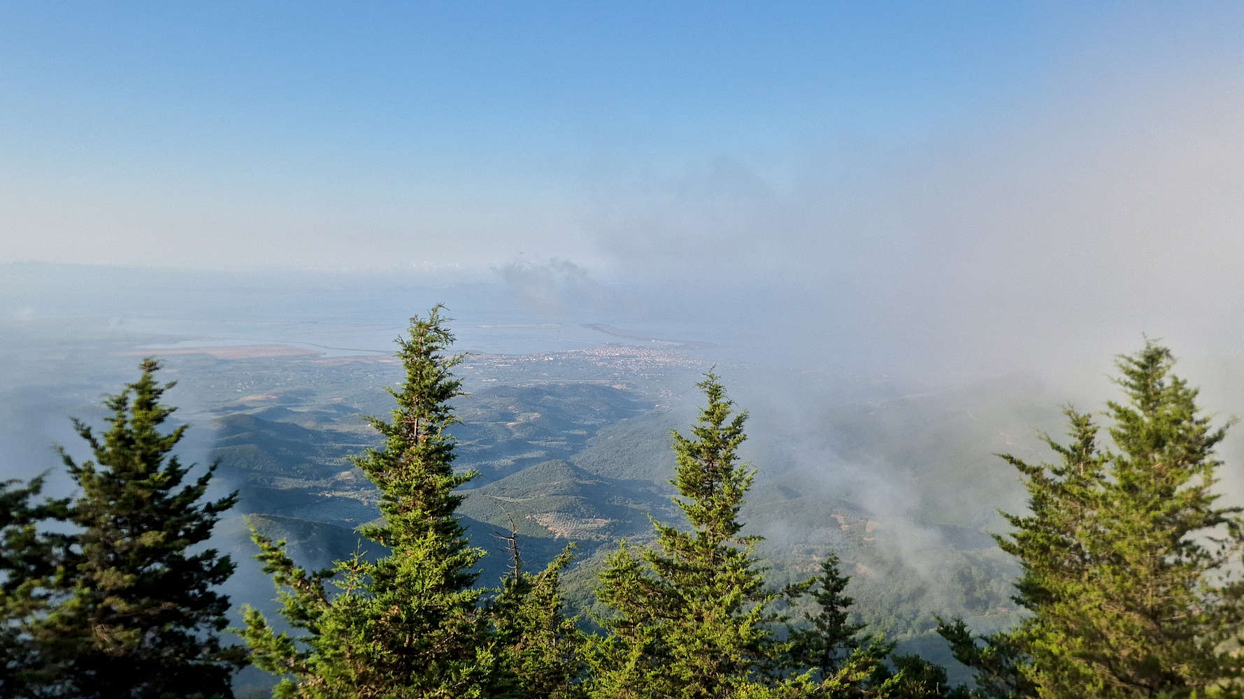
Clouds parting near the summit.
We descended more than 30m to the final Col., and rejoined the road for another 300m of walking (T0), reaching the Firewatch tower at the main summit of Greveno (”Γρεβενό”) after a total of 30 minutes. Having read the TR by Deividas Valaitis (2020-11-10), I was curious as to whether the bench really was the best feature of the summit; a fact that was proved to be correct. We could not help ourselves from taking our time. A bitter northerly wind forced us to sit, protected, besides the Firewatch, but even so, the view remained magical.
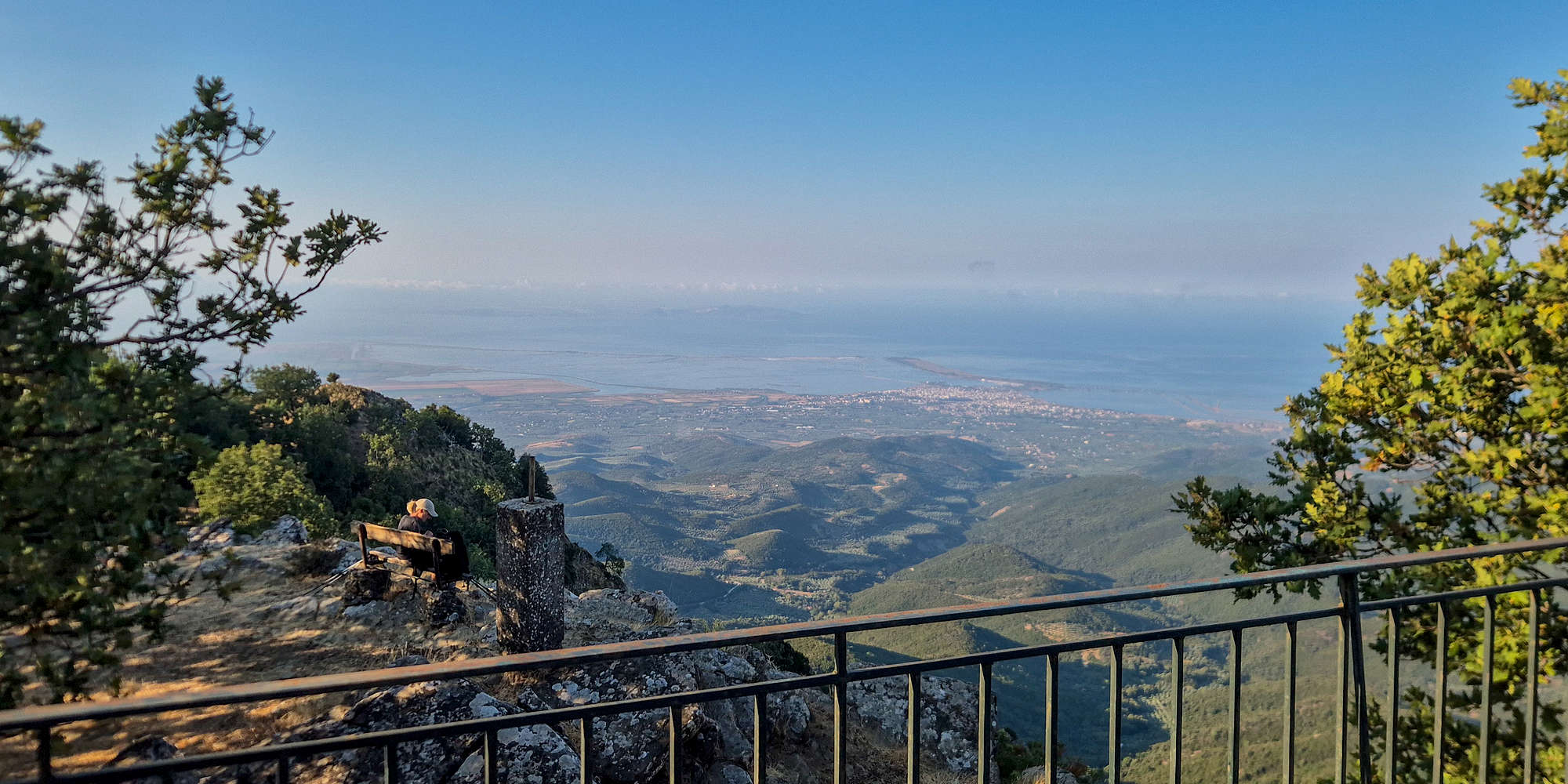
Terry enjoying the view, as seen from the Firewatch tower.
After 10 whole minutes we began our quick descent, after all we had to be on time for the hotel breakfast, and do our best to avoid the oncoming heat of the day. We slowly followed the FSR downhill, making only a couple of shortcuts, and reached the car in 26 minutes.
Interactive Map
Logistics
👷🏼 Under construction…