Flambouri Ridge (1,074m) [P-9]
Summited On: October 5, 2025
Region: Parnitha, Athens, Attica, Greece.
Overview
Flambouraki Ridge via Flambouraki (1,074m) [P-9] is a scrambling route on Parnitha (1,413m) above Athens which gains 500m over high quality limestone to reach the small peak of Flambouraki (1,074m) [P-9]. Our (Athenians’) home mountain of Parnitha (1,413m) is often thought to be a bit passe, after all thousands of people walk on its slopes every year, for most it will be their only visit to a mountain for that year. Yet returning visitors will find that Parnitha (1,413m) offers a great selection of high quality routes - even sport climbing - while being only 30 minutes from the center of Athens. Looking at this limestone giant from the city two features stands out, those being Chouni (”Χούνη”) and Flambouri Ridge (”Κόψη Φλαμπούρι”).
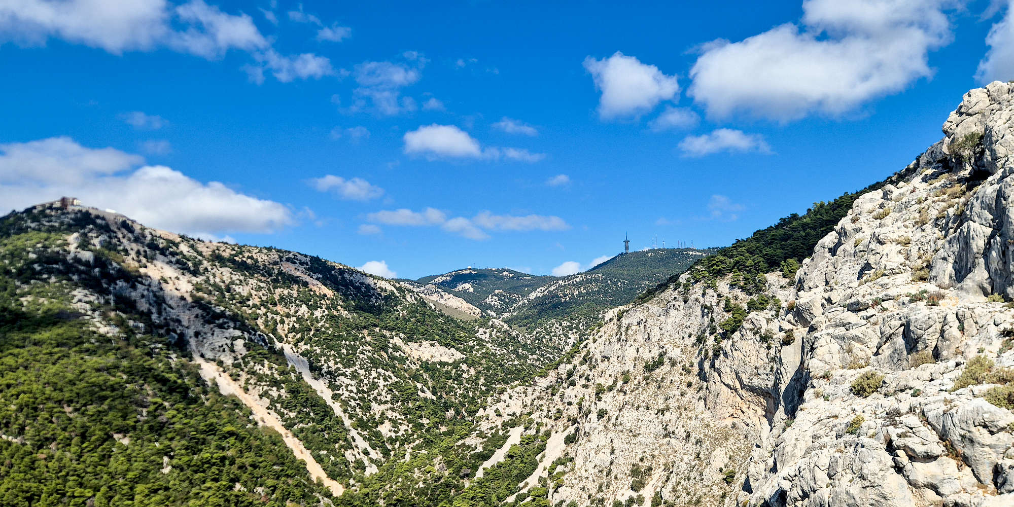
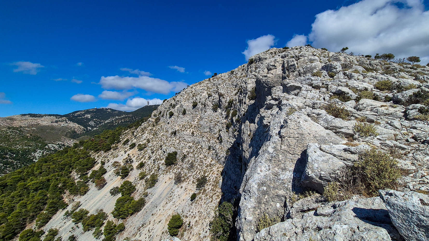
View of Chouni & Parnitha (1,413m) from Flambouri.
Essentially part of the same structure, Flambouri Ridge is the limestone crest which rises steeply on the NE side of the entrance of the Chouni gorge, that drains the upper reaches of the mountain. The ridge is nearly void of vegetation and from afar it can be seen strongly contrasting the surrounding greenery. It is a logical line, a beautiful one too, and as such it has claimed it place as a Classic, of both Parnitha, and Attica. Is that status deserved?
Route
I had heard a few things about the route—enough to know it’s often considered the finest on Parnitha (1,413 m)—but online research proved fruitless. Flambouri lacks the sense of adventure it once had and is now mostly written about in the context of misadventure: wild winter ascents and the like. As an ardent supporter of simply having a good day out, I was disappointed by the absence of a clear guide with proper route descriptions and photos of the trickier scrambling passages. Sadly, if you were hoping to find that here, you won’t.
As September gave way to a cool October, we looked for a chance to explore some interesting routes closer to home and at lower elevation. We were pleasantly surprised to agree on a civilized meeting time of 09:30 a.m. and actually get some sleep for once. The half-hour drive to Thrakomakedones was relaxed, passing through countryside-like scenery beyond Acharnes, which still holds some charm.
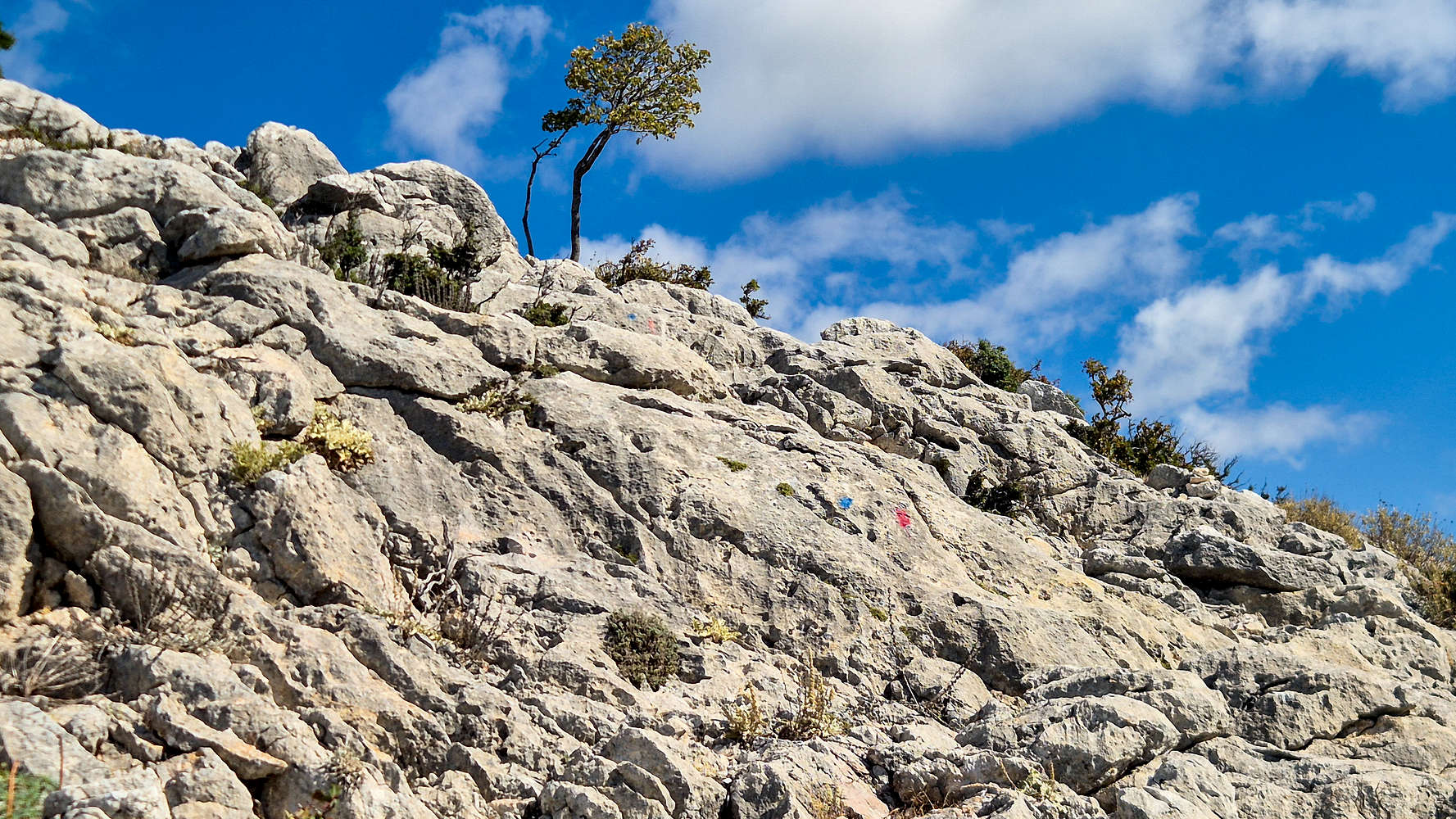
The route mixes blue & red marks to denote hard and easy variations respectively.
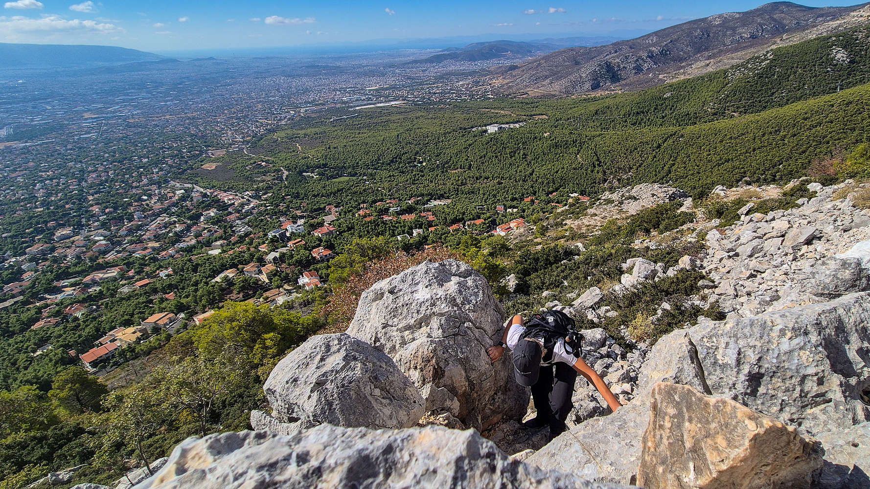
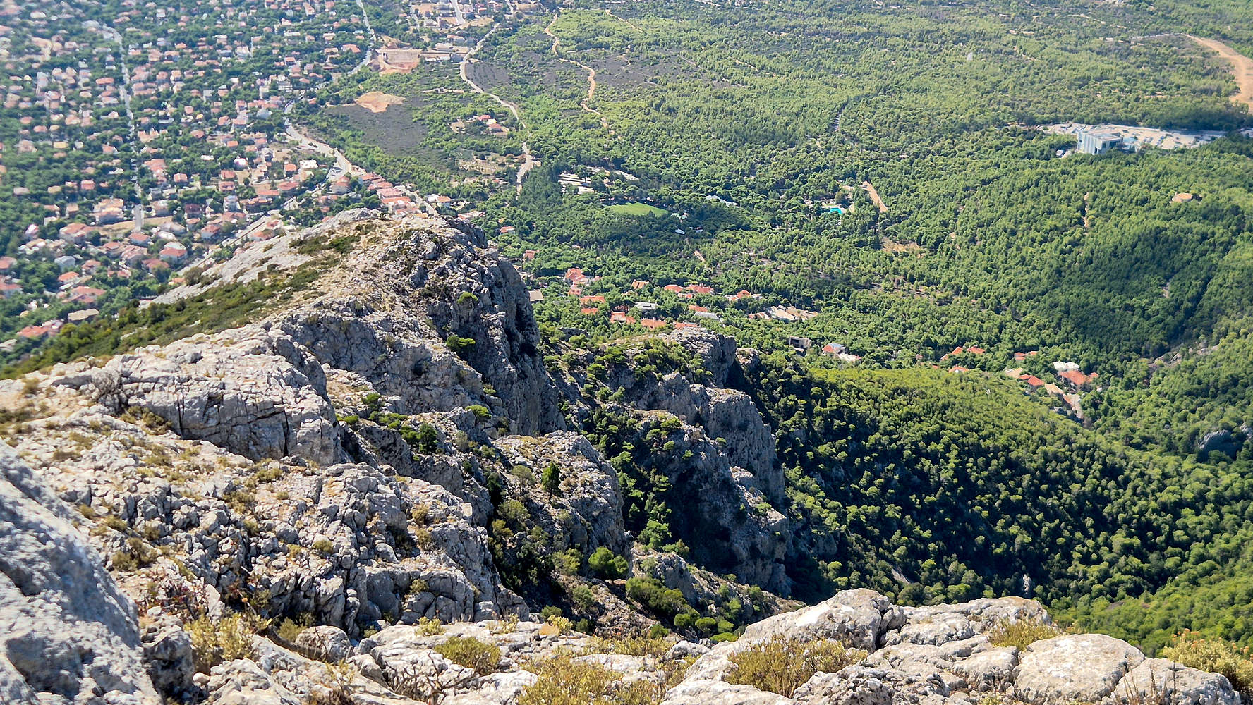
We parked rather awkwardly at the distinctive corner of Imathias Street, geared up quickly, and set off into the forest. Ascending the switchbacks toward the ridge, we found a mix of red and blue markings, though their inconsistency—and the presence of ghost trails—made navigation a bit of a guessing game. We soon gained the first 50 m and were rewarded with a spectacular, airy view of Chouni. The next 50 m passed quickly, though an exposed (grade IV) limestone step forced a short detour. Still, the scrambling above was pleasant, and we caught our first clear sight of Mikro and Megalo Flambouri.
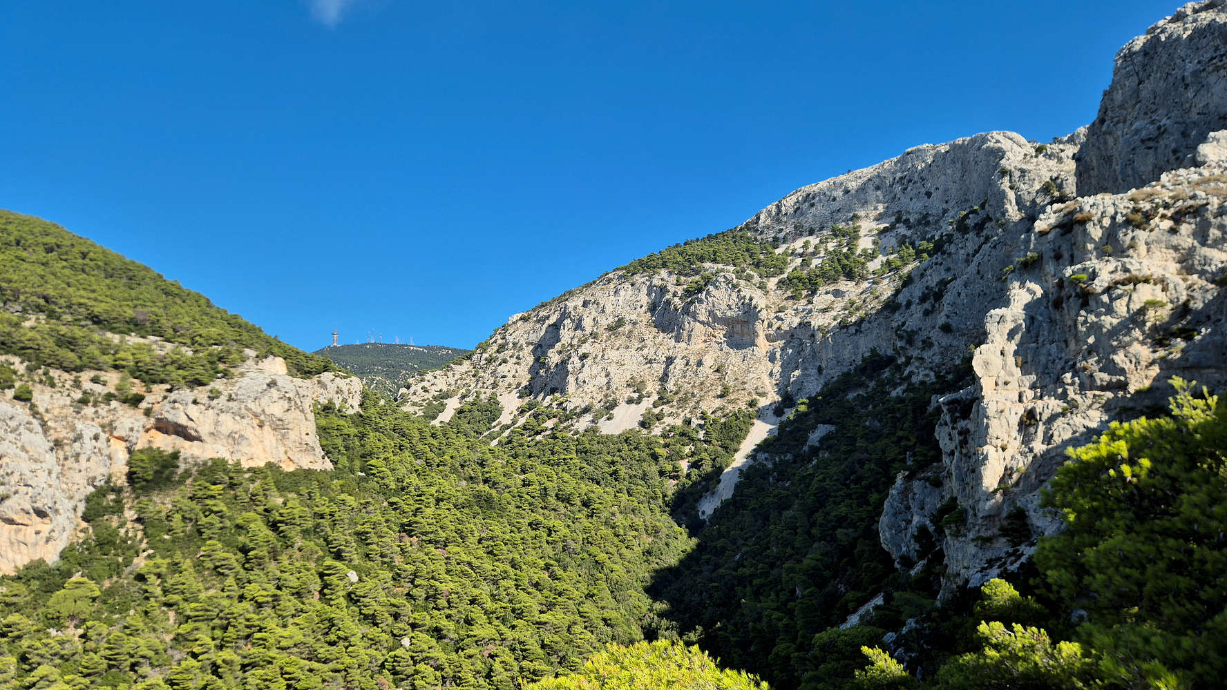
Chouni Gorge from low on Flambouri, Ornio (1,340m) behind.
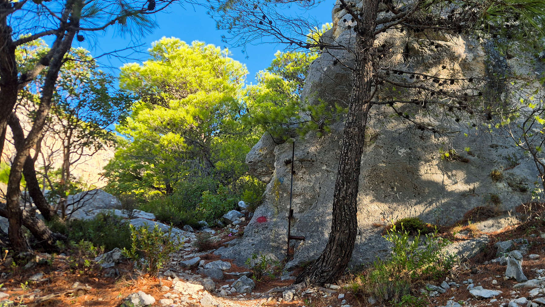
A distinctive marking near the start.
After topping out on the first outcropping, the main mass of the ridge came into view, with the impressive caves of Mikro Flambouri stealing the show. The terrain flattened briefly before steepening again toward the base of the Mikro Flambouri section. Here, easy scrambling (grade II) over steep rock led us upward at a slow pace as another pair of climbers passed. One of the best passages involved a few simple moves followed by a low-angle chimney. As usual, neither the red nor the blue markings offered consistent guidance, so we simply followed what looked most natural. Eventually, we reached the junction beneath Mikro Flambouri where the two routes diverge.
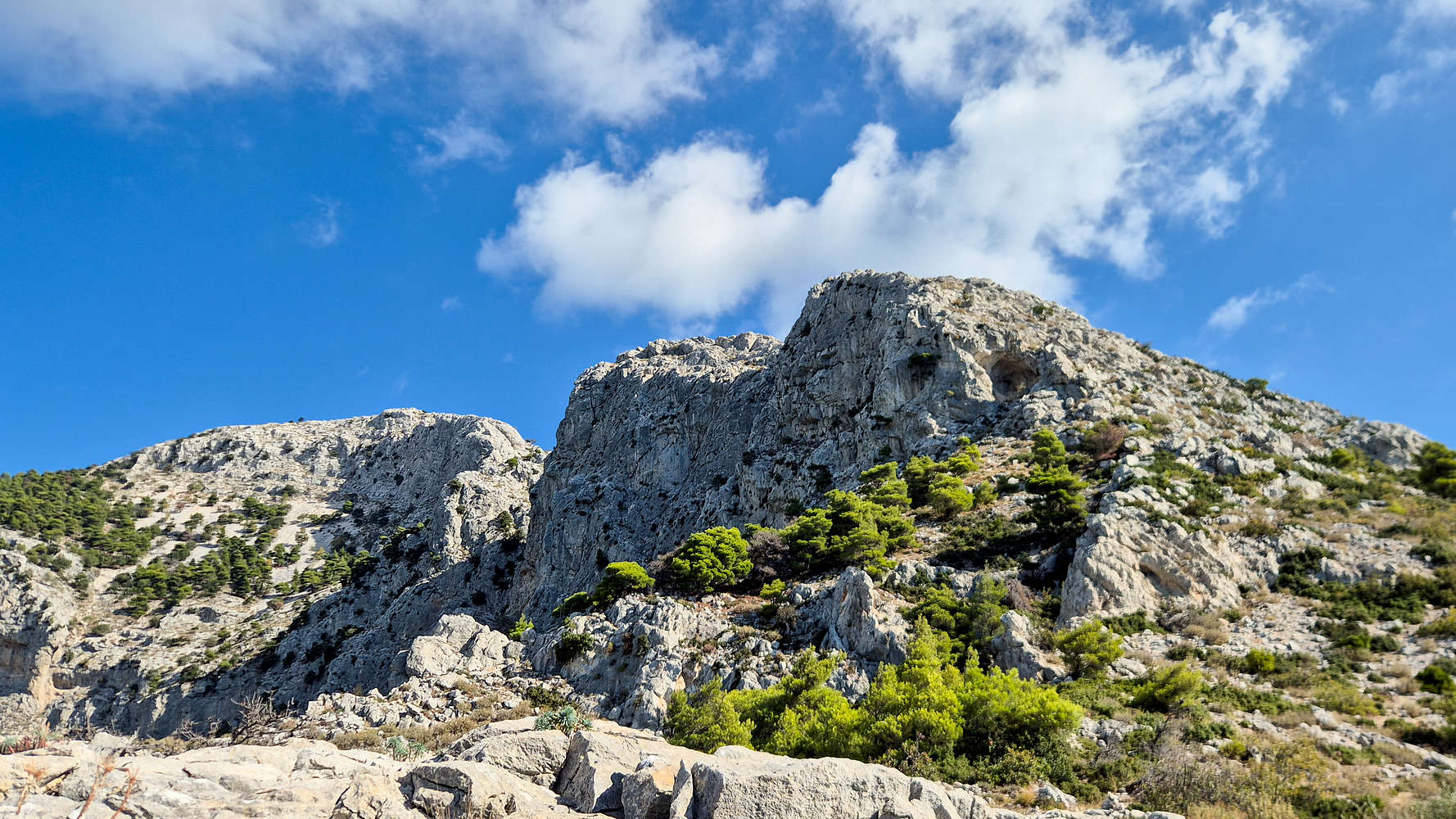
The Flambouri Ridge from the first step.
Terry gaining the step via the chimney.
For a variety of reasons—but mostly because of the intimidating first chimney-slash-slab (grade IV−)—we opted to follow the red-marked trail that skirts around the ridge. Almost immediately, we realized this choice was subpar. The trail led through a field of slabby boulders where the climbing was marginal at best. In an ill-fated attempt to rejoin the blue trail, I led us on a traverse in the wrong direction. After a short climb, we topped out on a plateau with wonderful views toward Chouni and the headwall of Megalo Flambouri. We paused for a brief break before continuing along the crest of Mikro Flambouri, which we now had to traverse.
This section alternated between easy scrambling (grade II) and, airy walkways. As we reached the summit of the lower formation, the exposure increased, and the scenery opened dramatically. For the first time in a while, the trail flattened out—a short interlude between Mikro and Megalo Flambouri. Though the markings were faint, a clear track led us safely to the base of the Megalo Flambouri headwall in about ten minutes.
One of the ‘steps’ on Mikro Flambouri, we climbed all the way left.
Terry gaining the last few meters to Mikro Flambouri.
Having taken a slight lead, I scrambled up to its center to scout the line of the blue route. Three options presented themselves: two chimney-to-ledge systems on either side and an obvious central runnel. From up close, the runnel was clearly unsuitable. Unsure which side route to trust—and with no clear markings—I decided not to push our luck and retreated. Instead, we traversed around the formation and hiked to its top. There, faint blue blobs finally revealed the correct line: the leftmost, closer to the cliff.
This, in my view, is the core problem with marked routes of this type: markings must be continuous and consistent, or their absence can be misread as being off-route. Still, we were thrilled to have rejoined the ridge at a lower section than most of the climbers we’d seen ahead.
Megalo Flambouri and the distinctive runnel.
Megalo Flambouri cliffs from the top-out.
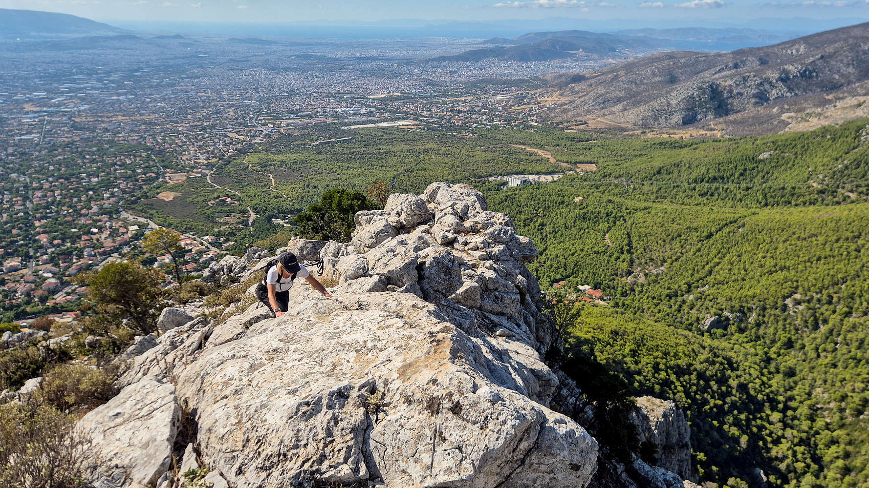
From this point, the scrambling remained airy but easy, with exposure measurable yet manageable. The route wound gently across the flat top of Pano Flambouri, with only a few steps leading to the base of Flambouri (1,074 m) [P-9]. Here the blue route became engaging again. A stepped notch below the summit could be crossed in several safe ways (grade II−) from the right, but I opted for a narrow arete on the left (grade II). The final section offered three choices: a very airy couloir below the summit on the cliffside, a solid step (grade II+), or an easy walk on the right (T3). I chose the middle line, savoring the last few moves—after all, you only climb a route for the first time once. In a blink, I was at the top.
Terry about to gain the final step on Flambouri Ridge.
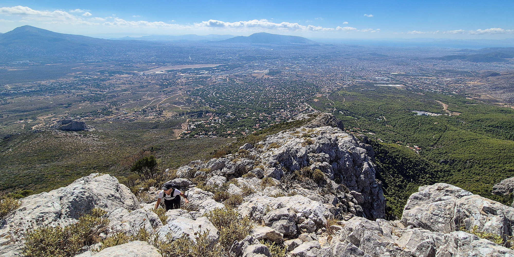
Terry joined me soon after, and together we followed the trail (T2) toward the military monument and flag at the false summit of Flambouraki (1,074 m) [P-9]. Though unremarkable itself, it offered a striking view of Athens below. We met a few people—probably from the Flambouri Refuge—and continued to the true summit a short distance further on. After a quick photo stop, we began the descent toward the refuge in search of a cold beer or at least some water.
Unfortunately, my oversight the night before caught up with me: my phone battery died just as I started the climb toward the refuge. I hurried ahead to stop the GPX track and check that the hut was open. The short ascent took about ten minutes, though it felt steeper after a full day. At the top, I was met by a crowd—organized groups filled every table in front of the hut. Our leisurely start was about to bite us in the ass.
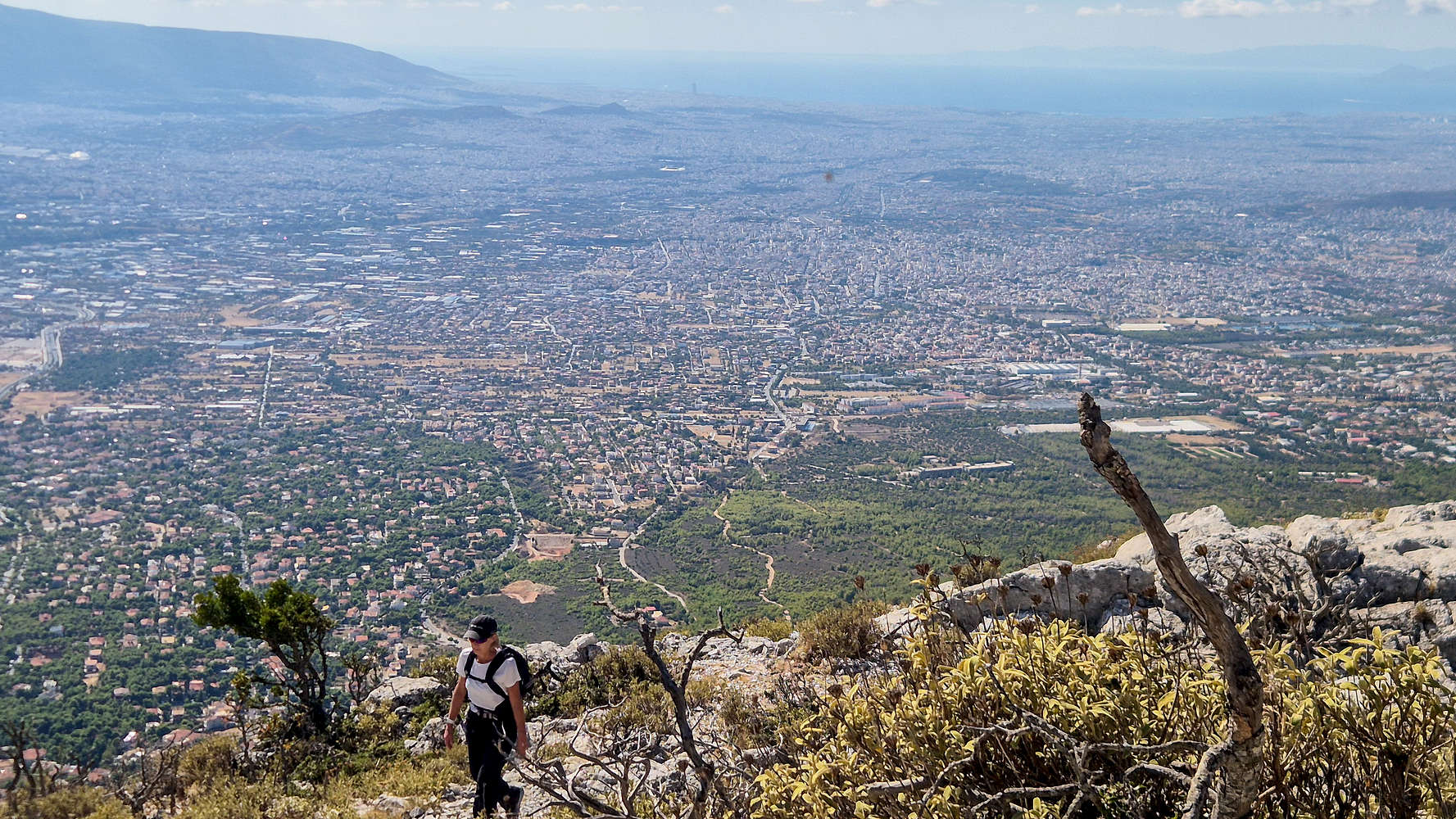
Above Athens on the trail to the summit.
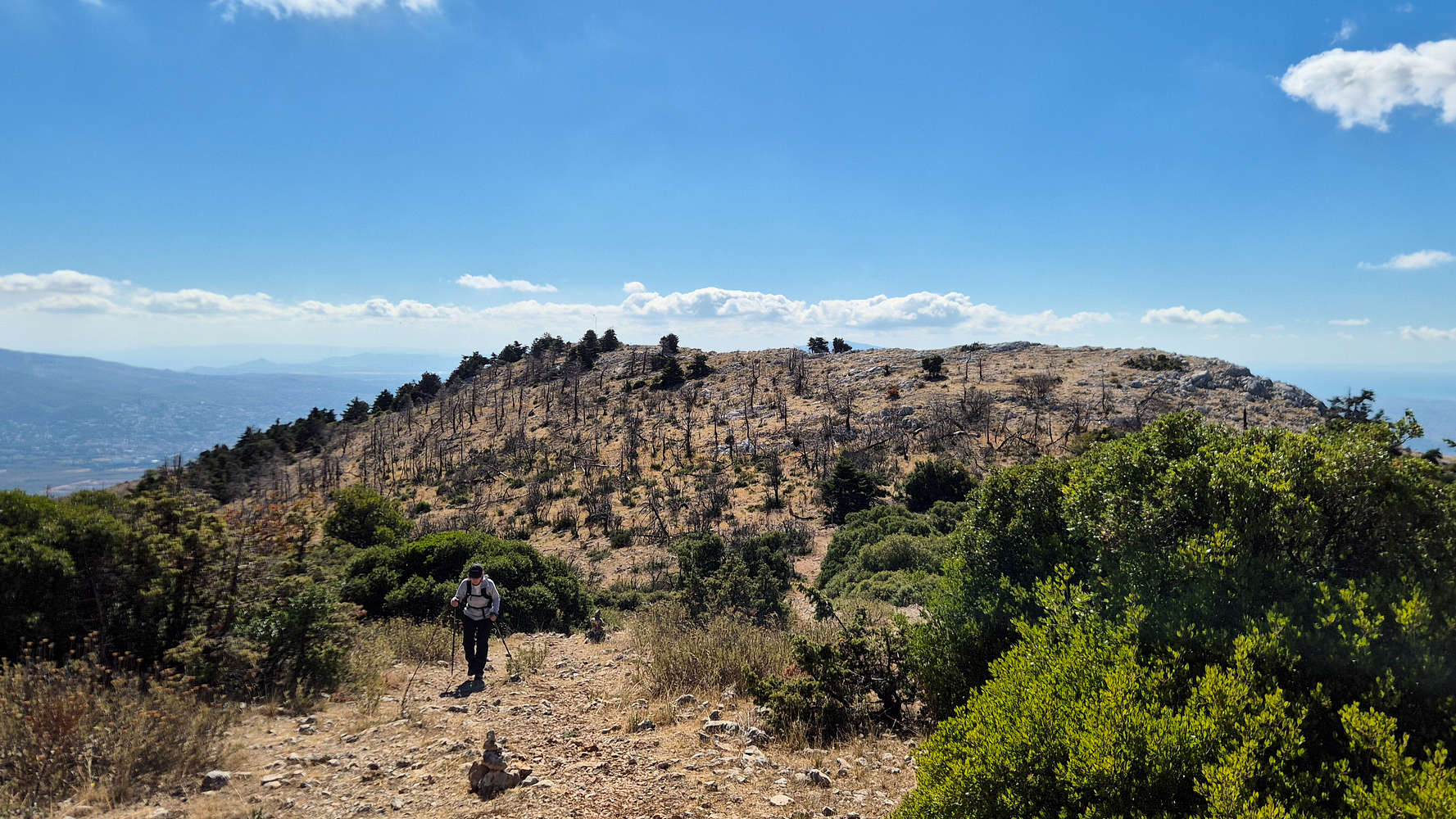
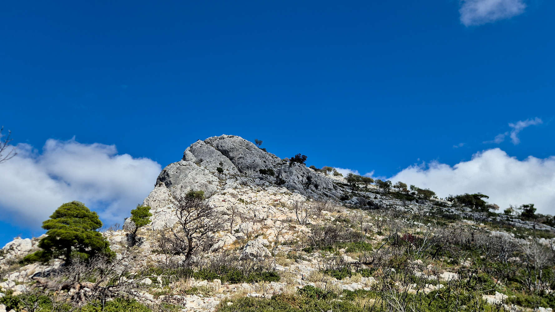
The summit of Flambouraki (1,074m), as seen on the way to Falmbouri.
After finally finding a spot to sit, I went inside for water. The understaffed hut was struggling with the rush, and it took 35 minutes to get two half-liter bottles. With some water and a few snacks, we decided to head back down to Athens. My house, I suspected, would be far less crowded.
Flambouri Ridge from above.
The formation of Petra at Varimbombi which has over 100 routes!
With my phone completely dead, we managed to take a wrong turn on the descent, veering too far left instead of retracing our path below Flambouraki’s summit. Our planned route would have descended the first gully northeast of the summit, but instead we followed the ridge of Flambouri toward the northeast. Realizing the mistake soon, I checked Terry’s phone map and saw we could safely continue—a small detour was no big deal. The ridge offered great views of Xerovouni (1,119 m) [P-82] as we descended through forest on a steep but secure traverse (T2).
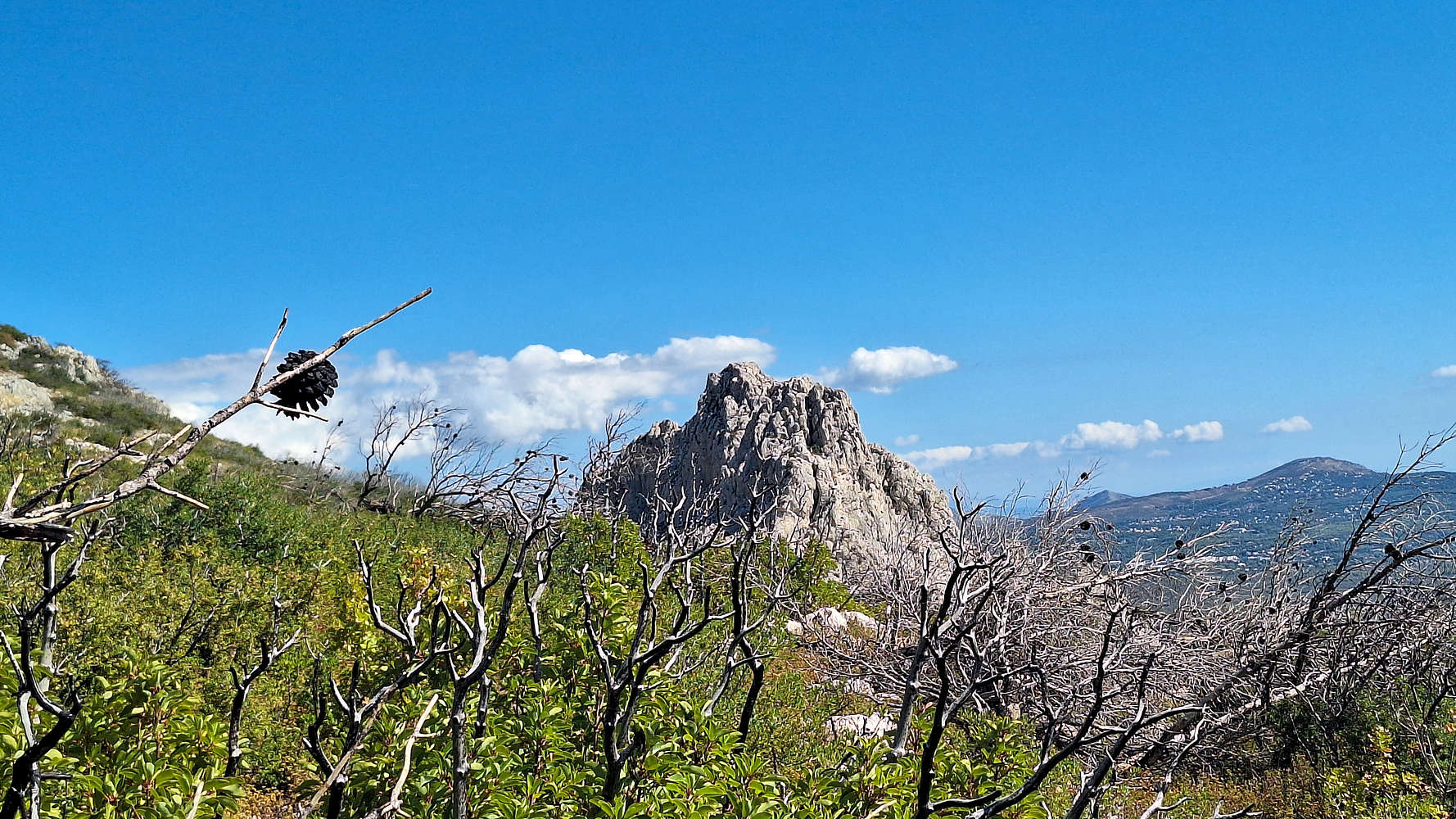
Eventually, we joined a dirt road, passing a burnt water tank before finding a faint track turning right—confirmed by GPS—that led us back on the trail exiting at Kastorias Street. A short 2m downclimb (T3) marked the transition from open-country to marked path. From there, the trail mellowed out, steep at times but never exposed. Despite the visible wildfire damage—charred trees standing above a vibrant green underbrush—the ambiance was tranquil. Many trail markers had fallen, but the route was still clear enough to follow.
Just under an hour after leaving Flambouri, we stepped back onto asphalt and strolled the last few minutes to the car.
I plan on revisiting this route as part of my Attica Classics project, ascending Flambouri all the way to Karabola (1,413m) & descending via Chouni.
Interactive Map
Logistics
As an Athens activity is had very simple self-planned logistics. Drove 30 minutes from home and then back. Purchased two water bottles from the hut for €1. Not much else to say.
The hut is usually open most of the year although it may close during very adverse weather.