Merenda (614m) [P-414]
Summited On: February 7, 2026
Region: Kalyvia Thorikou, Attica, Central Greece, Greece.
Overview
Oros Merenda (614m) [P-414] [”Όρος Μερέντα”] is a relatively unknown mountain of Eastern Attica, separating the settlements of Markopoulo and Keratea near the Athens International Airport. Although the second highest peak of the area, its inland position and contained mass lead to it being overlooked compared to its neighbor Paneio (648m). Sport climbing and biking on its lower reaches is popular while hiking routes are near forgotten. This is for good reason, as for most of the year, the Karstic terrain turns into an arid wasteland. But for a few weeks a year, the area is approachable, and even pleasant. Its small size also hides deep historical ties with local human activity and legend.
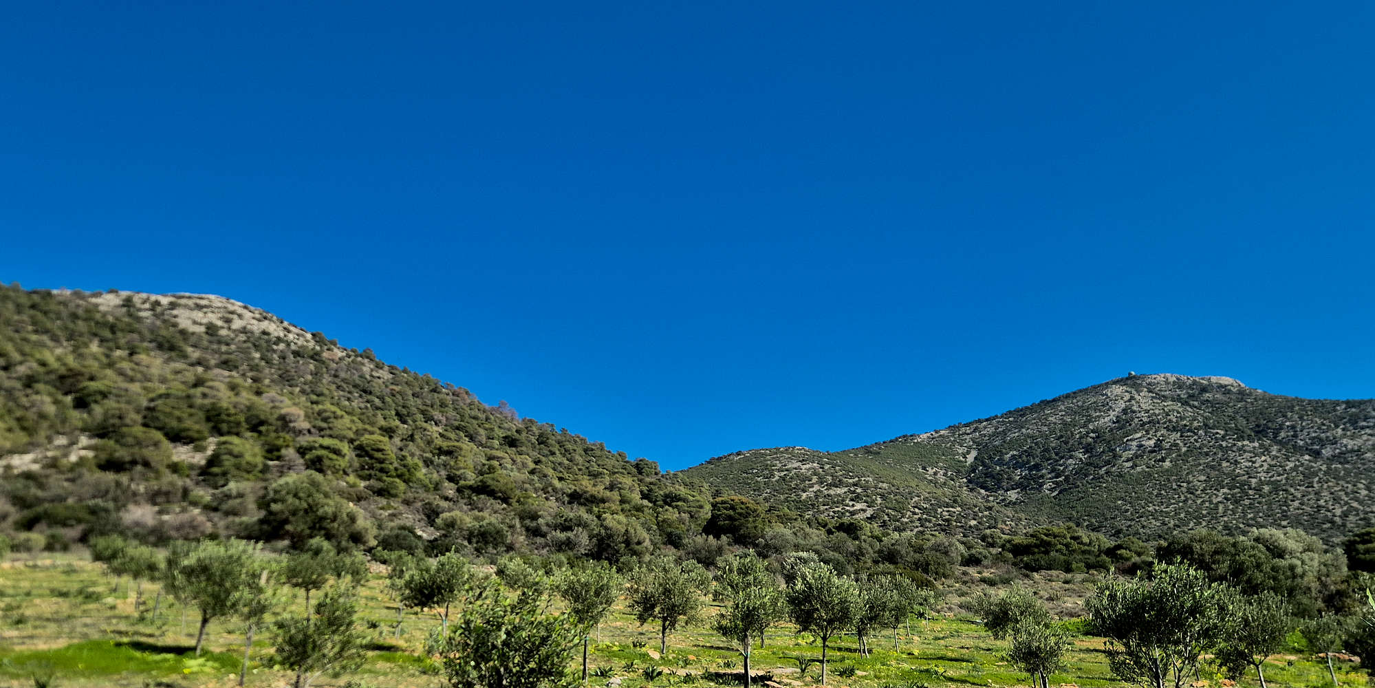
Kastro (429m) and Merenda (614m) from near the trailhead.
Taking its name from a mispronunciation of the settlement of Myrrhinus (”Μυρρινούς”), the mountain was rife with human presence for thousands of years. Archeological excavations conducted in 1972 discovered artefacts dating through the Neolithic, Mycenean, and Hellenistic periods. On the peak of Kastro (429m), a registered archeological site, the ruins of the fortification wall can be seen by visitors. The mountain is also called Αιματόριζα (bloody root) on account of a legend suggesting that Saint George killed a winged snake which resided in the Vera Drago (dragon cave) Karstic formation, and whose spilt blood painted some of the soils - along with the root of a specific plant - in vibrant red [1]. Besides the Vera Drago pit-cave, the 70m deep slot-cave of Fteri [2] can also be found on the mountain’s slopes.
A 1921 newspaper article describes a visit to Vera Drago through a cord-marked trail in the forest, accompanied by two armed game-wardens.
Route
We spent a good portion of our Friday exchanging ideas for our Saturday plan, but since Terry’s knee had started to flair up again, we would have to opt for something easy. As always we sought a new significant peak, via an interesting route, thus, a lot of our shortlisted options were not on the menu. We agreed on Merenda (614m) [P-414] on account of the short-ish route, and short driving distance. Having looked on the TopoGuide map for the mountain, I had found the only viable route, a traverse across Kastro (429m) and then onto Merenda (614m) via the Col., which would be our objective. Little did we know that the unmarked route on rough low-altitude terrain would be punishing for Terry’s knee. Completely unbeknownst to us, this was also the route which P. Lapsati had attempted in 2021 and was unable to complete as part of an article for Kathimerini [3].
What also seem to have eluded me was also the high probably of the route being unmarked, uncleared, and unpopular. A perfect combination for a punishing visit on any peak, especially a low-laying shrubby limestone one. Due to the ever changing nature of the foliage cover, and more importantly, the complexities of the return, we do not recommend this route to hikers who are not highly experienced in route-finding and navigation, especially in adverse conditions.
Kastro (429m) as seen from near the trailhead.
Ascending to the ridge with Kalyvia behind.
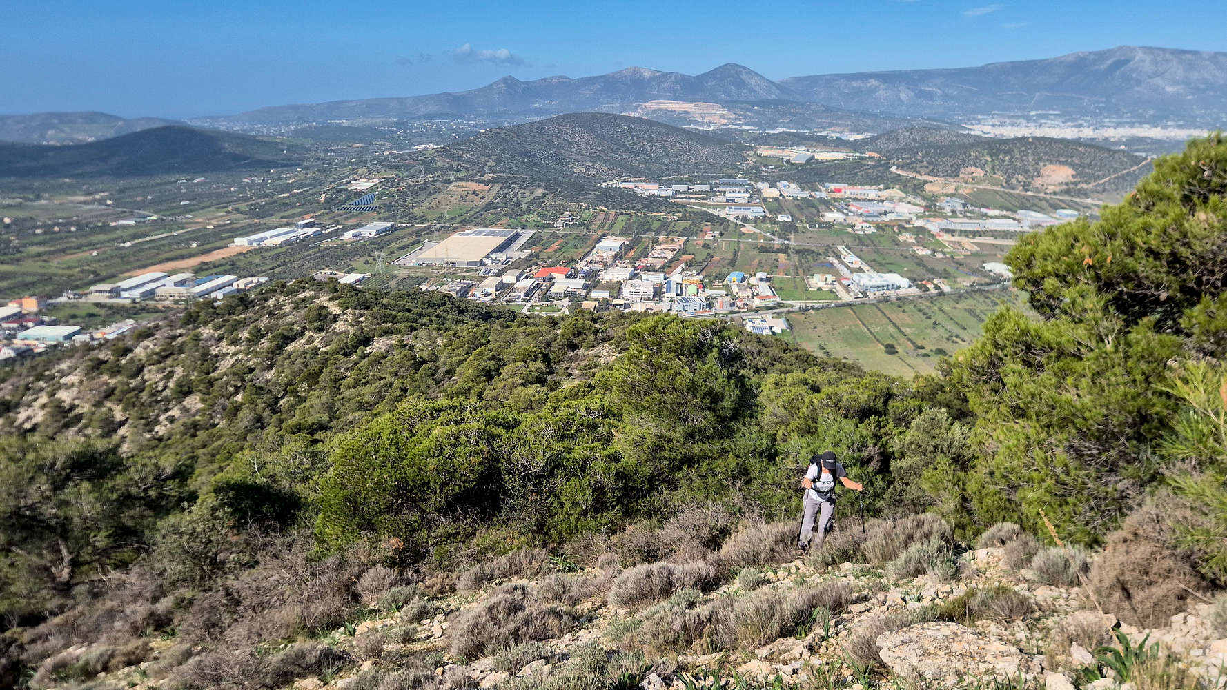
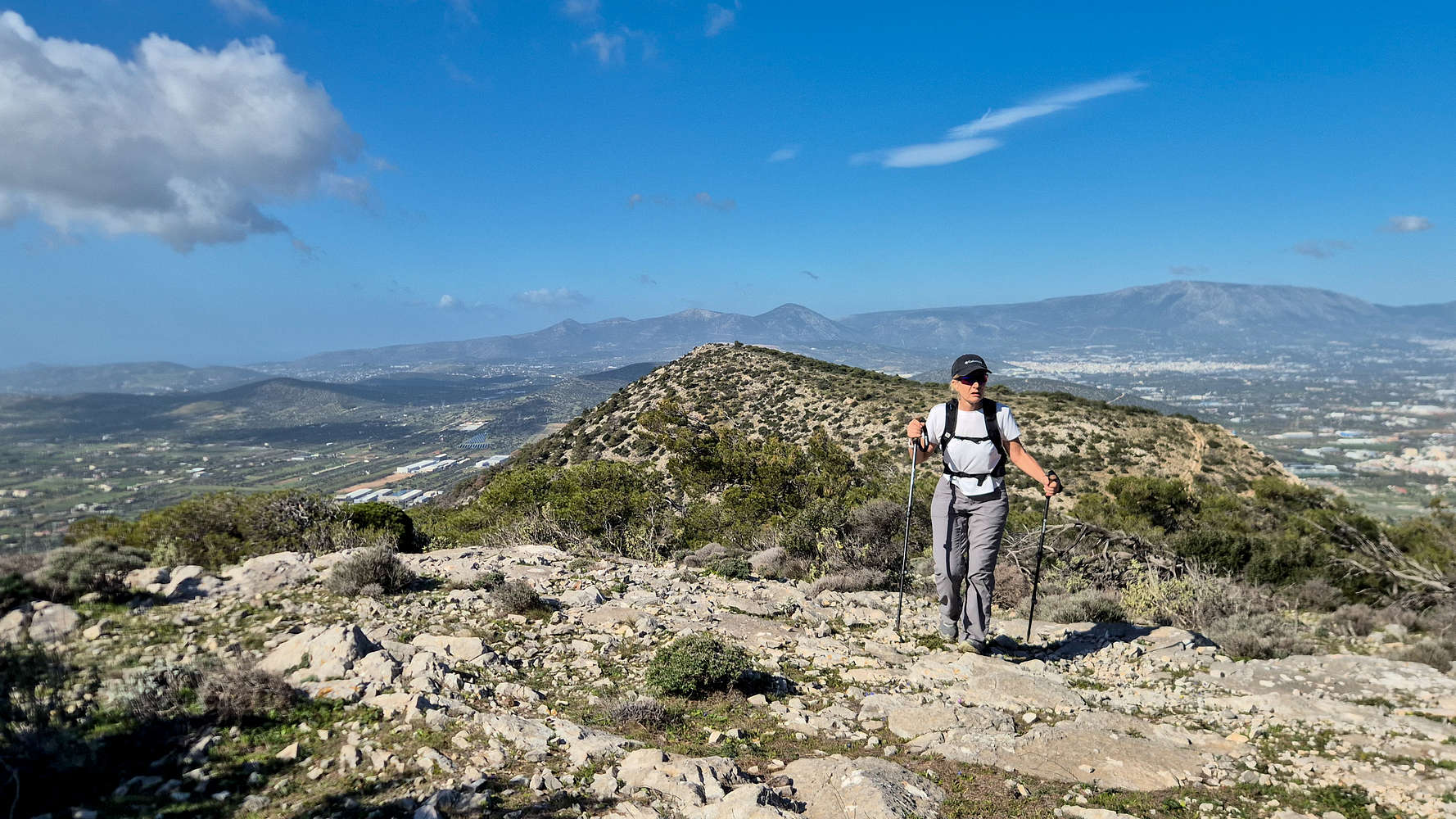
We arrived at the obscure dirt road that marked our trailhead just after 09:45, and managed to set off before 10:00, and followed the openings among the vegetation heading up and to the left towards Kastro (429m). We mistakenly ascended a couple of stone terraces above our goal, and after some re-routing we continued in a W direction along the foot, before turning right and uphill. Without having reached the ridge proper yet, but continuing to find a navigable slope, we made swift progress. The terrain however, quickly made its unrelenting nature known as we navigated the rocky slope which was steep but mostly secure (T2+, BW1-). It took us roughly 25 minutes and 120m of elevation over 1km to join the indicated track at the ridge.
Kastro (429m) and Merenda (614m) from the ridge.
Ascending towards Kastro (429m).
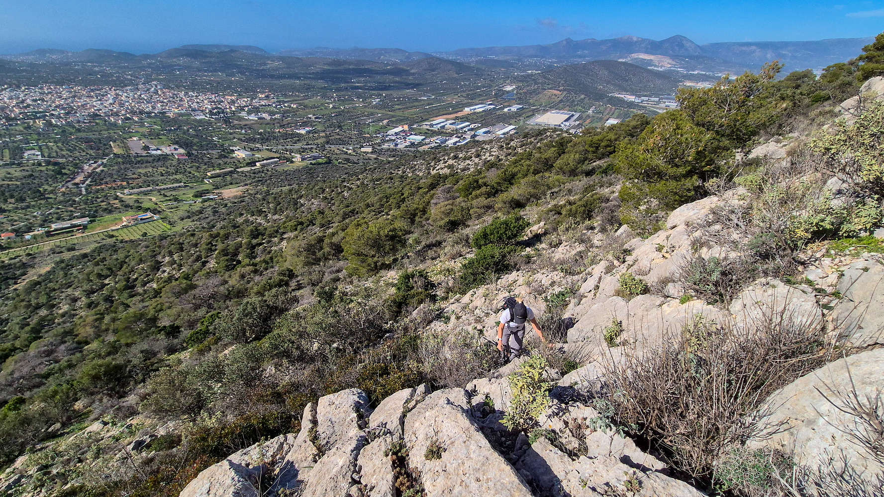
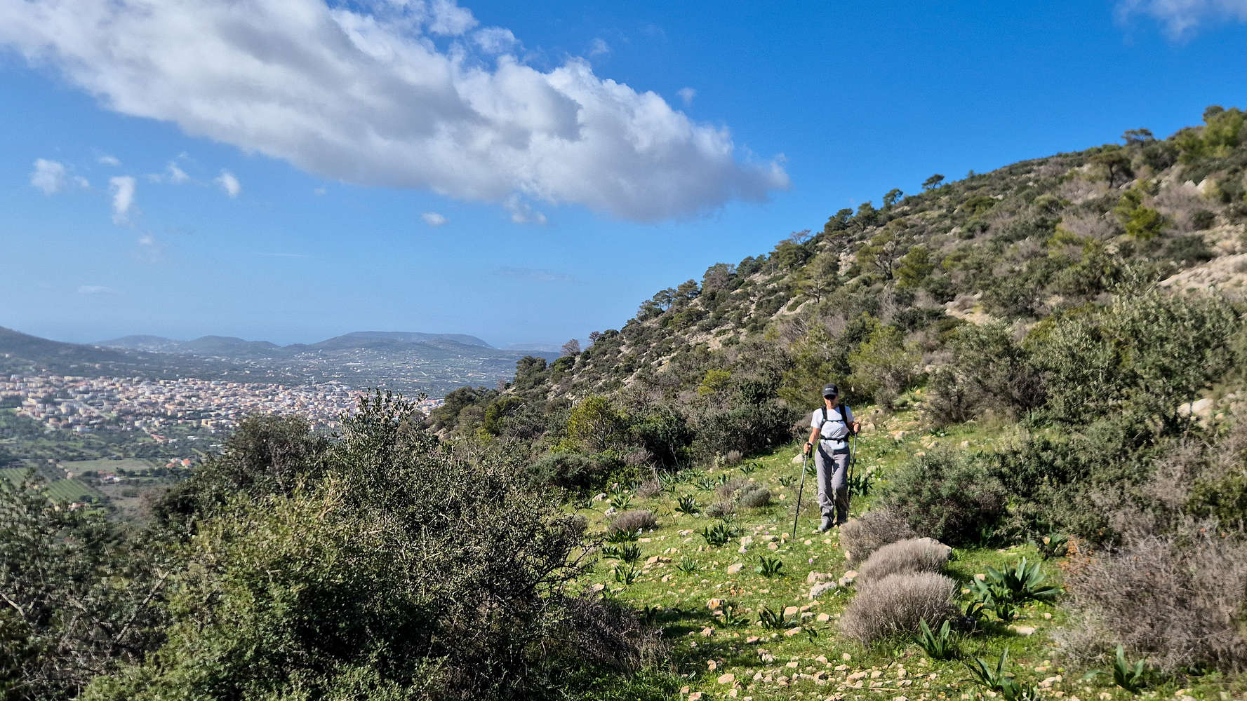
Although a faint track could be made out, the lack of markings and frequent bands of vegetation meant that route finding was again a not-so-simple affair (T2). Gaining the crest of the ridge, navigation was simplified and we made quick progress in approaching Kastro (429m). Once at the base of its steep summit cone we opted for a direct line on the steep and rocky slope of the West aspect. Ignoring the lack of a track, the views, terrain, and limited exposure offered a pleasant combination on this section. That being said, the day’s high temperature found me dripping with sweat as we continued uphill.
The crux of the traverse below Kastro (429m).
Merenda (614m) from below Kastro (429m).
Reaching the last few meters to Kastro (429m) I paused to consult the maps. Looking at OSM via Outdoor Active, I saw the track traversing below the summit of Kastro (429m). In reality the TopoGuide indicated route passed via the summit. Having forgotten this fact, and glancing ahead to an inviting set of ledges, I continued by avoiding Kastro (429m). At first the ledges were simple and easy to walk on (T3), but soon a large slab dictated easy scrambling (II-, 4m) to a higher level. This theme continued a couple more times until we began turning back N as we neared the Col. The terrain here was marked by increasingly narrow goat trails, some exposure, and a deceivingly long distance (T3-). In comparison, the descent from Kastro (429m) via the summit ridge would have been a wide track (T1).
Crossing the grassy Col.
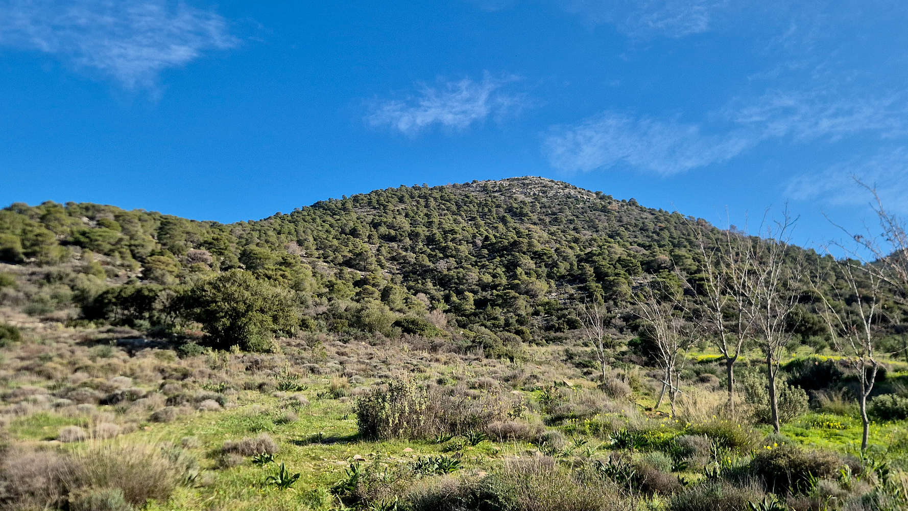
Ascending Merenda (614m) with a view of Kastro (429m).
We reached the small grassy field of the Col. between Kastro (429m) and Merenda (614m) after 1:15 hours from the car, having covered just 2.3km - rather brutal. With the summit no looking much closer, we didn’t stop and pushed ahead onto the forested West aspect of Merenda (614m). Navigating easy brush (BW1-) we made good time, mostly on account of the dry rocky terrain on the rib (T2). However, as we gained elevation, so did we become engulfed into the forest. At around 510m elevation, a rock step forcing hikers right and above the steep slope must be navigated, climbing it is easy (I-II) but it can be circumvented entirely by walking to its end (T3-).
On the rocky steps before the summit.
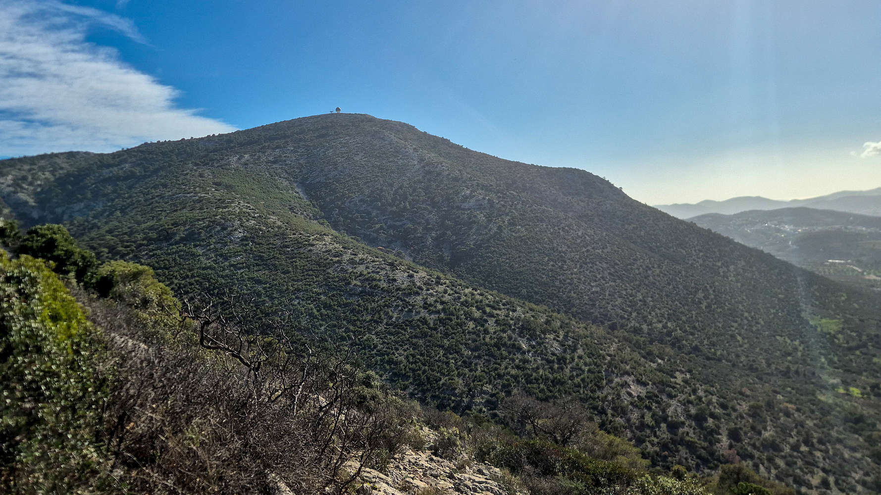
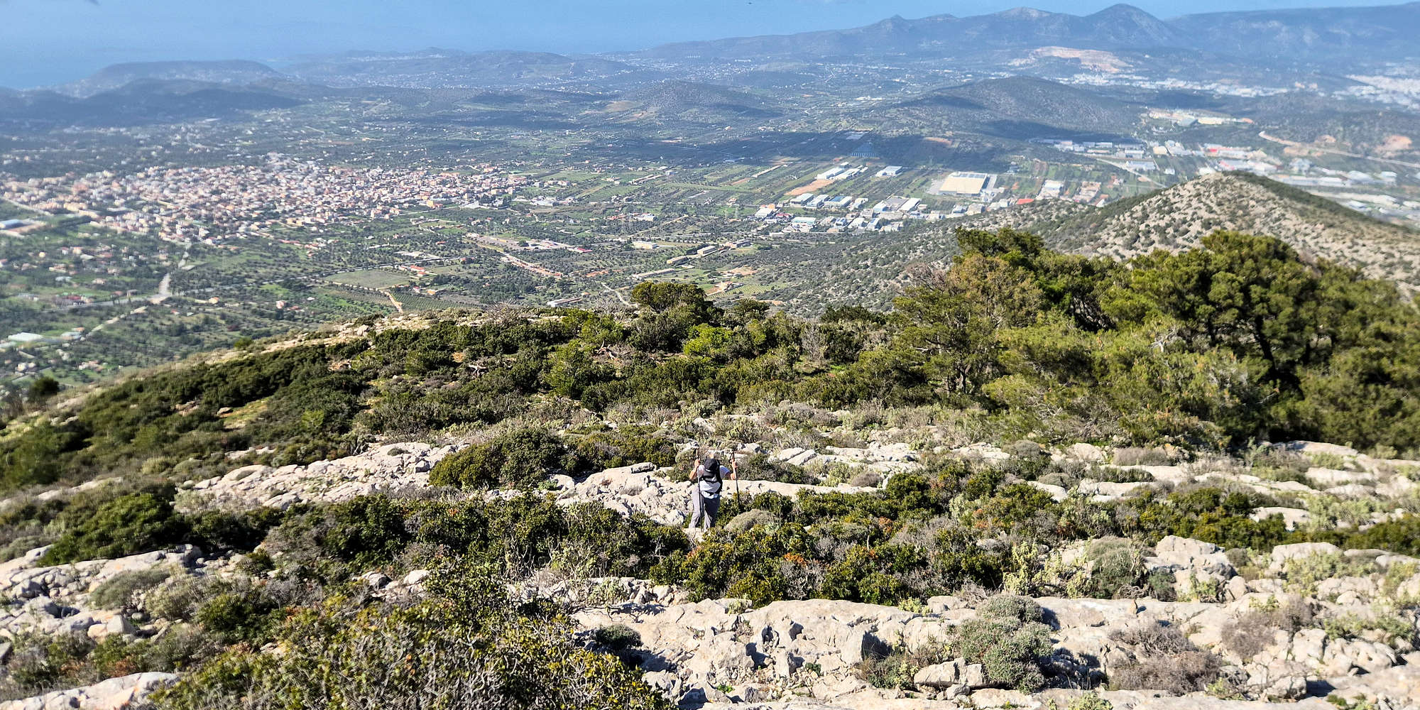
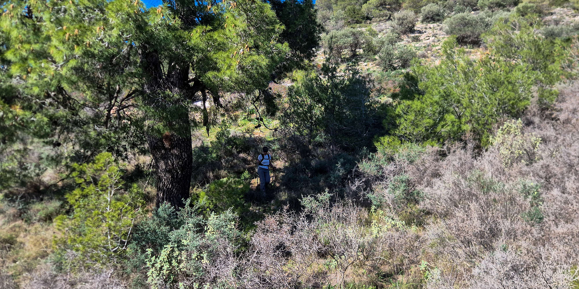
The next mini-section of the forest below the summit proved the toughest, with difficult navigation against the vegetation, requiring delicate moves through trees, and plenty of bushwhacking (T2, BW1). Having traversed far to the right to overcome this obstacle, an obvious rock slope with easy limestone steps opens up above (T2+). While at first it may look like some scrabling is required, this is not the case, and in less than 5 minutes the highest public point, a bit to the right of the radar, is gained.

At the summit of Merenda (614m).
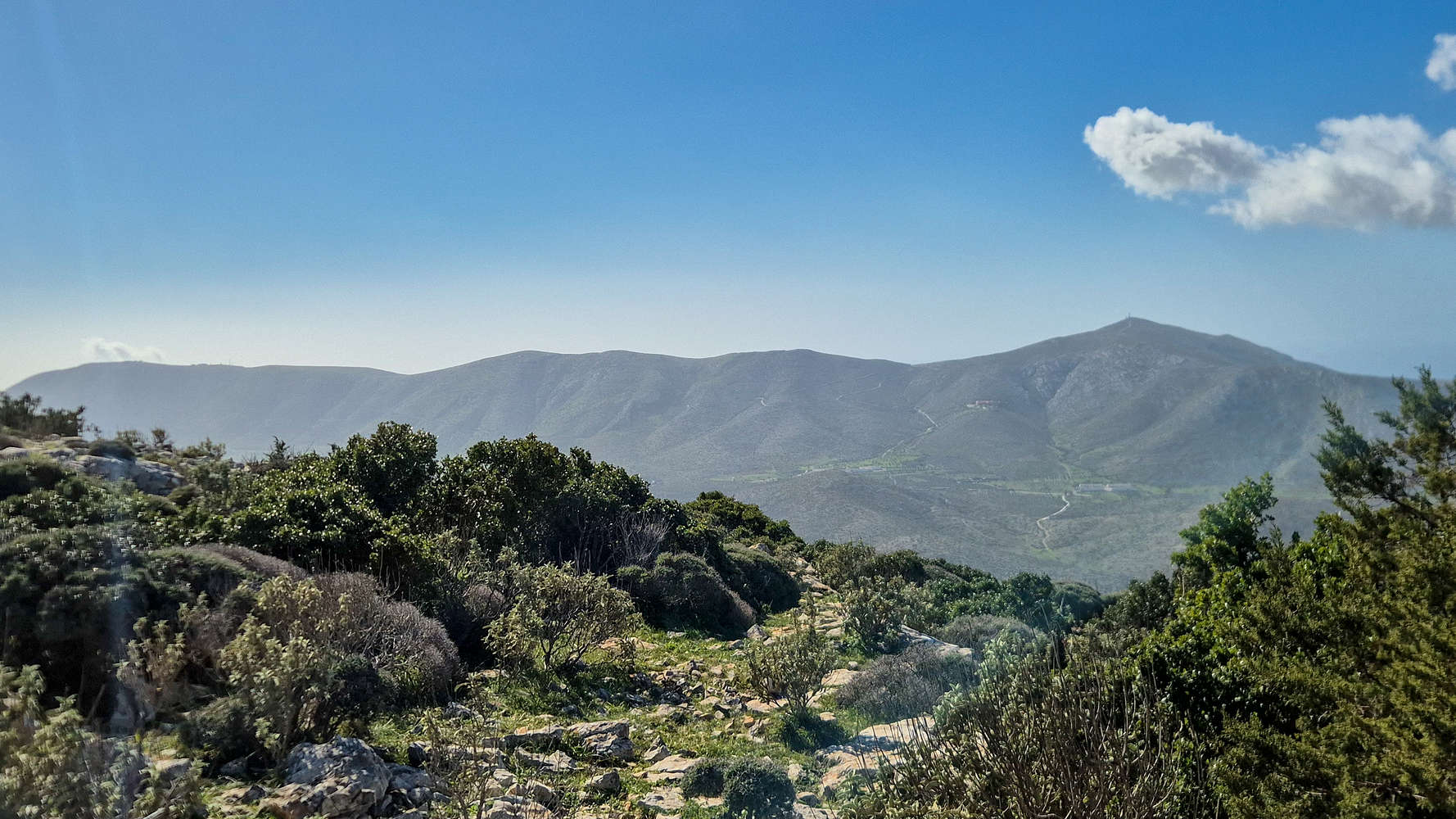
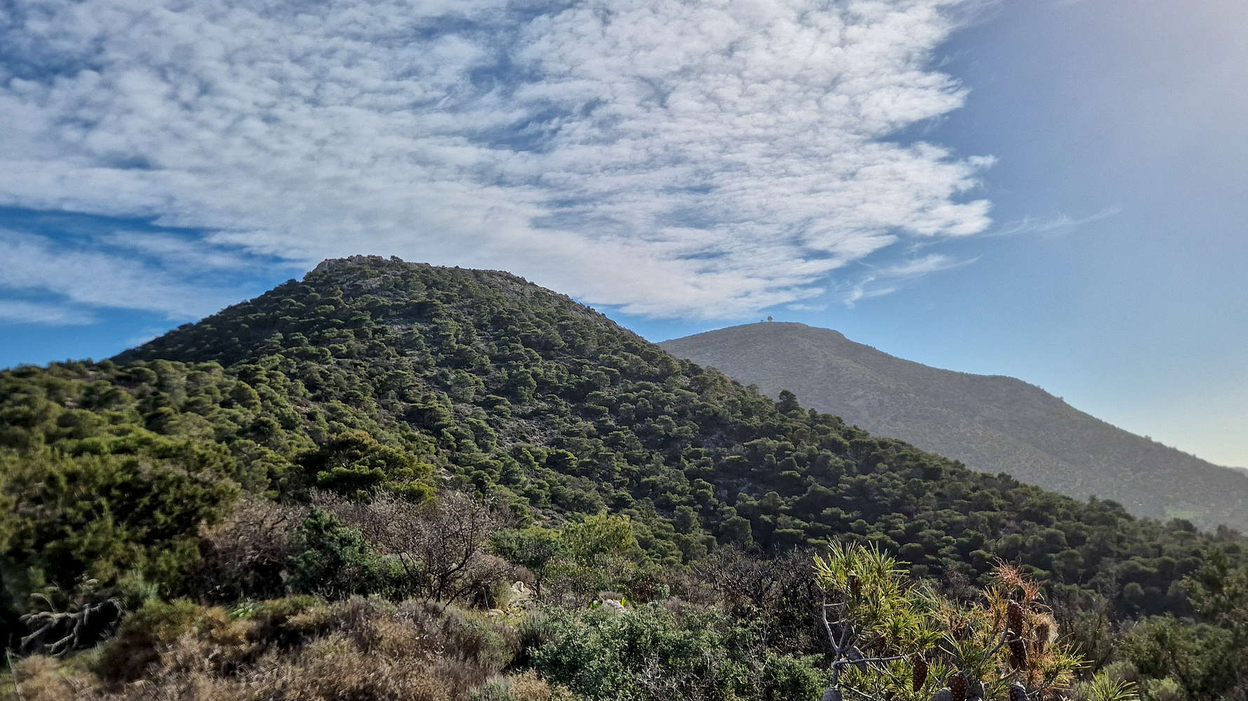
Panio (648m) from near the summit.
For its small stature, the mountain proved a hand-full so far after nearly 2 hours for the 3.8km and 513m of vertical gain, and it was certainly not done yet. The flat summit which houses the radar for the Athens International Airport was quickly overwhelmed by the mid-day winds, and being unable to find sufficient shelter, we briefly sat behind some brush and rocks, which provided protection to have a snack. We spent no more than 3-4 minutes below the summit before setting off back down, anxious to face a complex return.
Descending via the gully, on the side of Kastro (429m).
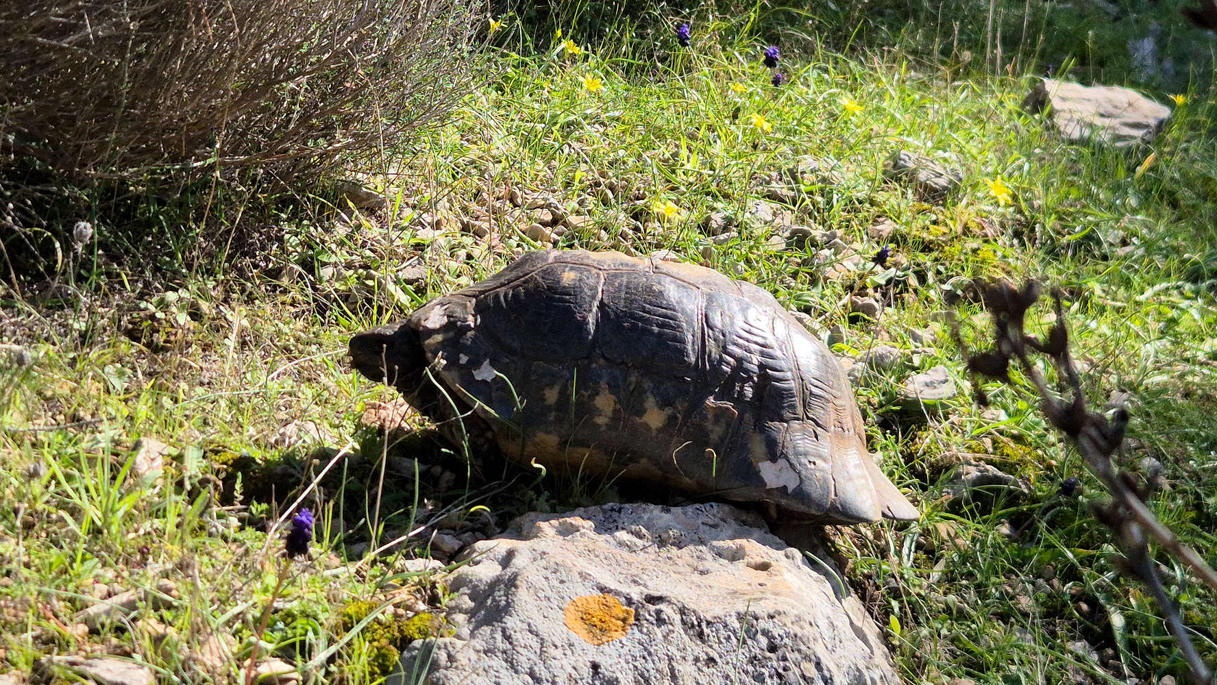
A timid Marginated Tortoise enjoying its lunch.
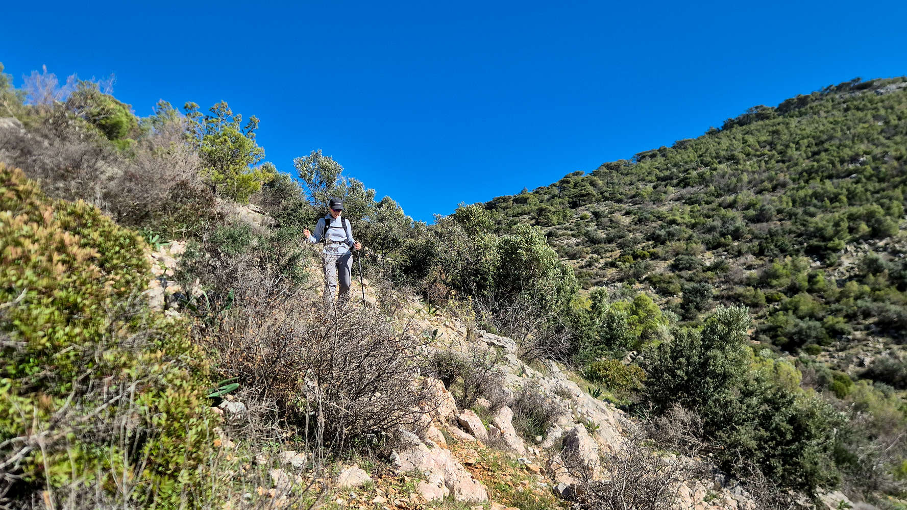
Having completed the long ascent route, and with Terry having voiced concerns about retracing the return due to her knee, we were faced by the usual conundrum of an unmarked and vague route. Should we stick to what we know, or opt for an unknown but faster direct descent? Checking in with Terry halfway down the main summit, it was confirm that taking that risk might be worthwhile, so once we reached the Col., in an excruciating 40 minutes, we took a right and began descending into the gully. Using gullies and ravines to descend can be a real mixed bag, so instead, we traversed along the steep but rocky slope which afforded us passage, again on goat trails (T3, BW1).
Descending via an unknown and unmarked route in these circumstances is certainly not recommended and we did so known the possibility of needing, at the very least, to hike back up from the gully if we found it to be impassable.
We passed the supposed ‘trail’ indicated on OSM, and continued on our natural line, and at 270m reached the river-bed for the first time. We followed the ravine for a bit before once again traversing in the slope of Kastro (429m), to avoid the densely vegetated ravine (BW2+). In our descent we also ran into one of the residents, an unbothered Marginated Tortoise. Finally, we were able to traverse the ravine one last time (T2, BW1+), and reach the dirt road leading to the lonely house which was our exit marker. We exited the majority of the difficulties after 1 hour from the summit.
At the exit of the gully.
From here, we continued for a few meters on the dirt road, before cutting through a series of very vague tracks (T2, BW1) to the right, in order to reach the next road over. The gully had brought us too far East and now we had to pay with some more easy traversing. At last, we reached the asphalt which we followed further down, reaching a large property across which we had parked. To avoid a long circuitous route, we opted to instead walk through their Olive grove, waving good morning to one of the workers as we did, and in full view of both Kastro (429m) and Merenda (614m). A fitting end to 3 hours of ‘easy’ bushwhacking on one of Attica’s most unknown massifs, but I am most certain that we didn’t really help Terry’s knee problem. There is always next time.
Interactive Map
Logistics
Very simple day-hike since we live in Athens. About a 40 minute drive from the center to the trailhead (📍Google Maps), we parked by the ruined farm-building on the adjacent lot. Driving back into Athens avoids tolls since it uses the Attiki Odos section of the airport.
⏱️ We do not recommend attempting this before heading to the airport, as it can cause delays.
Nearby Peaks
The following is a list of significant nearby peaks.